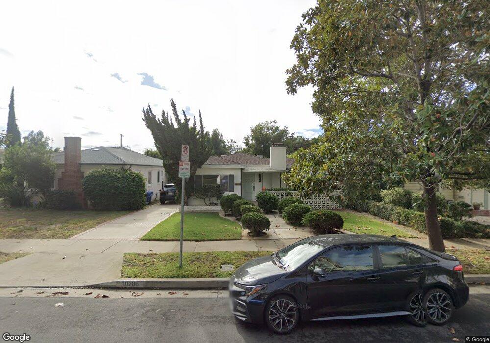
10786 Ashton Ave Los Angeles, CA 90024
Westwood NeighborhoodEstimated Value: $2,289,000 - $2,676,000
3
Beds
2
Baths
2,282
Sq Ft
$1,071/Sq Ft
Est. Value
About This Home
This home is located at 10786 Ashton Ave, Los Angeles, CA 90024 and is currently estimated at $2,443,175, approximately $1,070 per square foot. 10786 Ashton Ave is a home located in Los Angeles County with nearby schools including Fairburn Avenue Elementary, Ralph Waldo Emerson Community Charter Middle School, and University High School Charter.
Ownership History
Date
Name
Owned For
Owner Type
Purchase Details
Closed on
Oct 28, 2020
Sold by
Kincaid Valerie E and Finkel Robert A
Bought by
Weinberg David M and Weinberg Lawrence A
Current Estimated Value
Purchase Details
Closed on
Jul 8, 2005
Sold by
Weinberg Harold J
Bought by
Weinberg Harold J and Weinberg Ruth J
Purchase Details
Closed on
May 27, 1998
Sold by
Weinberg Harold J
Bought by
Weinberg Harold
Create a Home Valuation Report for This Property
The Home Valuation Report is an in-depth analysis detailing your home's value as well as a comparison with similar homes in the area
Home Values in the Area
Average Home Value in this Area
Purchase History
| Date | Buyer | Sale Price | Title Company |
|---|---|---|---|
| Weinberg David M | -- | Accommodation | |
| Weinberg Harold J | -- | -- | |
| Weinberg Harold J | -- | -- | |
| Weinberg Harold | -- | -- |
Source: Public Records
Tax History Compared to Growth
Tax History
| Year | Tax Paid | Tax Assessment Tax Assessment Total Assessment is a certain percentage of the fair market value that is determined by local assessors to be the total taxable value of land and additions on the property. | Land | Improvement |
|---|---|---|---|---|
| 2025 | $2,675 | $201,715 | $113,482 | $88,233 |
| 2024 | $2,675 | $197,760 | $111,257 | $86,503 |
| 2023 | $2,631 | $193,883 | $109,076 | $84,807 |
| 2022 | $2,522 | $190,083 | $106,938 | $83,145 |
| 2021 | $2,476 | $186,357 | $104,842 | $81,515 |
| 2019 | $2,406 | $180,832 | $101,733 | $79,099 |
| 2018 | $2,332 | $177,288 | $99,739 | $77,549 |
| 2016 | $2,208 | $170,406 | $95,867 | $74,539 |
| 2015 | $2,178 | $167,847 | $94,427 | $73,420 |
| 2014 | $2,195 | $164,560 | $92,578 | $71,982 |
Source: Public Records
Map
Nearby Homes
- 10790 Wilshire Blvd Unit 806
- 10790 Wilshire Blvd Unit 1603
- 10800 Wilshire Blvd Unit 1901
- 10800 Wilshire Blvd Unit 502
- 10800 Wilshire Blvd Unit 1501
- 10776 Wilshire Blvd Unit 901
- 10776 Wilshire Blvd Unit 603
- 10776 Wilshire Blvd Unit 1802
- 10750 Wilshire Blvd Unit 203
- 10787 Wilshire Blvd Unit 702
- 10787 Wilshire Blvd Unit 1003
- 10795 Wilshire Blvd Unit 402
- 10777 Wilshire Blvd Unit 209
- 10735 Rochester Ave
- 10751 Wilshire Blvd Unit 1204
- 10751 Wilshire Blvd Unit 1009
- 10747 Wilshire Blvd Unit 1208
- 10747 Wilshire Blvd Unit 703
- 10747 Wilshire Blvd Unit 806
- 10724 Wilshire Blvd Unit 1001
- 10792 Ashton Ave
- 10782 Ashton Ave
- 10796 Ashton Ave
- 10776 Ashton Ave
- 10787 Wellworth Ave
- 10783 Wellworth Ave
- 10793 Wellworth Ave
- 10772 Ashton Ave
- 10777 Wellworth Ave
- 1270 Malcolm Ave
- 10793 Ashton Ave Unit 14
- 10793 Ashton Ave Unit 13
- 10793 Ashton Ave Unit 12
- 10793 Ashton Ave Unit 11
- 10793 Ashton Ave Unit 10
- 10793 Ashton Ave Unit 9
- 10793 Ashton Ave Unit 8
- 10793 Ashton Ave Unit 7
- 10793 Ashton Ave Unit 6
- 10793 Ashton Ave Unit 5