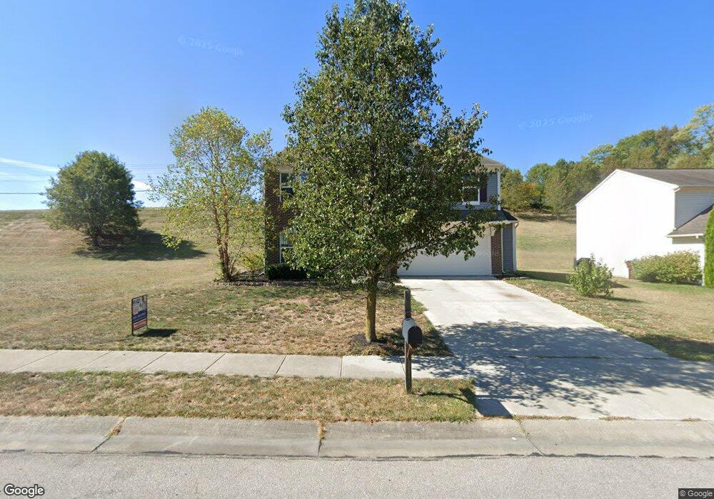
10794 Parker Unit 1 Independence, KY 41051
Estimated Value: $334,000 - $375,971
4
Beds
3
Baths
2,842
Sq Ft
$125/Sq Ft
Est. Value
About This Home
This home is located at 10794 Parker Unit 1, Independence, KY 41051 and is currently estimated at $355,743, approximately $125 per square foot. 10794 Parker Unit 1 is a home located in Kenton County with nearby schools including Beechgrove Elementary School, Twenhofel Middle School, and Simon Kenton High School.
Ownership History
Date
Name
Owned For
Owner Type
Purchase Details
Closed on
Oct 19, 2022
Sold by
Mosley Diana C and Mosley Joseph
Bought by
Mosley Diana C and Mosley Joseph
Current Estimated Value
Purchase Details
Closed on
Apr 8, 2015
Sold by
Fischer Single Family Homes Iii Ltd
Bought by
Mosley Diana C
Home Financials for this Owner
Home Financials are based on the most recent Mortgage that was taken out on this home.
Original Mortgage
$208,841
Interest Rate
3.84%
Mortgage Type
FHA
Purchase Details
Closed on
Nov 3, 2014
Sold by
Fischer Development Co Ii Inc
Bought by
Fischer Single Family Homes Iii Ltd
Purchase Details
Closed on
Feb 26, 2010
Sold by
Maher Road Llc
Bought by
Fischer Development Co Ii Inc
Create a Home Valuation Report for This Property
The Home Valuation Report is an in-depth analysis detailing your home's value as well as a comparison with similar homes in the area
Home Values in the Area
Average Home Value in this Area
Purchase History
| Date | Buyer | Sale Price | Title Company |
|---|---|---|---|
| Mosley Diana C | -- | Absolute Title Agency | |
| Mosley Diana C | $212,695 | Homestead Title Agency Ltd | |
| Fischer Single Family Homes Iii Ltd | $61,732 | None Available | |
| Fischer Development Co Ii Inc | $718,000 | None Available |
Source: Public Records
Mortgage History
| Date | Status | Borrower | Loan Amount |
|---|---|---|---|
| Previous Owner | Mosley Diana C | $208,841 |
Source: Public Records
Tax History Compared to Growth
Tax History
| Year | Tax Paid | Tax Assessment Tax Assessment Total Assessment is a certain percentage of the fair market value that is determined by local assessors to be the total taxable value of land and additions on the property. | Land | Improvement |
|---|---|---|---|---|
| 2024 | $3,060 | $249,800 | $35,000 | $214,800 |
| 2023 | $3,152 | $249,800 | $35,000 | $214,800 |
| 2022 | $3,208 | $249,800 | $35,000 | $214,800 |
| 2021 | $3,256 | $249,800 | $35,000 | $214,800 |
| 2020 | $2,841 | $212,600 | $35,000 | $177,600 |
| 2019 | $2,849 | $212,600 | $35,000 | $177,600 |
| 2018 | $2,864 | $212,600 | $35,000 | $177,600 |
| 2017 | $2,785 | $212,600 | $35,000 | $177,600 |
| 2015 | $444 | $212,600 | $30,800 | $181,800 |
| 2014 | -- | $25,000 | $25,000 | $0 |
Source: Public Records
Map
Nearby Homes
- 558 Tupelo Dr
- 10470 Travis St
- 10720 Hanover Ct
- 611 Berlander Dr
- 10724 Melbury Ct Unit 287GL
- 660 Ackerly Dr
- The Westchester Plan at The Greens of Glenhurst
- The Ella Marie Plan at The Greens of Glenhurst
- The Jefferson Plan at The Greens of Glenhurst
- The Leighann Plan at The Greens of Glenhurst
- The Waterson Plan at The Greens of Glenhurst
- The Lancaster Plan at The Greens of Glenhurst
- The Austin Plan at The Greens of Glenhurst
- The Morgan Plan at The Greens of Glenhurst
- The Marietta Plan at The Greens of Glenhurst
- The Camden Plan at The Greens of Glenhurst
- The Lincoln Plan at The Greens of Glenhurst
- The Bristol Plan at The Greens of Glenhurst
- The Livingston Plan at The Greens of Glenhurst
- The Madison Plan at The Greens of Glenhurst