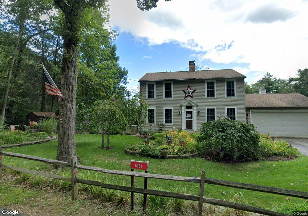
1081 Lebanon Hill Rd Southbridge, MA 01550
Estimated Value: $420,110 - $477,000
3
Beds
3
Baths
1,632
Sq Ft
$270/Sq Ft
Est. Value
About This Home
This home is located at 1081 Lebanon Hill Rd, Southbridge, MA 01550 and is currently estimated at $440,528, approximately $269 per square foot. 1081 Lebanon Hill Rd is a home located in Worcester County.
Ownership History
Date
Name
Owned For
Owner Type
Purchase Details
Closed on
Nov 12, 2004
Sold by
Paquette Rt
Bought by
Langlais David L and Langlais Diane M
Current Estimated Value
Home Financials for this Owner
Home Financials are based on the most recent Mortgage that was taken out on this home.
Original Mortgage
$165,000
Outstanding Balance
$82,176
Interest Rate
5.75%
Mortgage Type
Purchase Money Mortgage
Estimated Equity
$358,352
Create a Home Valuation Report for This Property
The Home Valuation Report is an in-depth analysis detailing your home's value as well as a comparison with similar homes in the area
Home Values in the Area
Average Home Value in this Area
Purchase History
| Date | Buyer | Sale Price | Title Company |
|---|---|---|---|
| Langlais David L | $245,690 | -- |
Source: Public Records
Mortgage History
| Date | Status | Borrower | Loan Amount |
|---|---|---|---|
| Open | Langlais David L | $165,000 |
Source: Public Records
Tax History Compared to Growth
Tax History
| Year | Tax Paid | Tax Assessment Tax Assessment Total Assessment is a certain percentage of the fair market value that is determined by local assessors to be the total taxable value of land and additions on the property. | Land | Improvement |
|---|---|---|---|---|
| 2025 | $5,745 | $391,900 | $49,200 | $342,700 |
| 2024 | $5,475 | $358,800 | $41,100 | $317,700 |
| 2023 | $5,183 | $327,200 | $41,100 | $286,100 |
| 2022 | $4,903 | $273,900 | $35,100 | $238,800 |
| 2021 | $5,325 | $273,900 | $35,100 | $238,800 |
| 2020 | $5,174 | $265,600 | $35,100 | $230,500 |
| 2018 | $4,478 | $215,800 | $35,100 | $180,700 |
| 2017 | $4,492 | $218,400 | $35,100 | $183,300 |
| 2016 | $4,363 | $215,900 | $40,400 | $175,500 |
| 2015 | $4,115 | $202,100 | $40,400 | $161,700 |
| 2014 | $3,969 | $202,100 | $40,400 | $161,700 |
Source: Public Records
Map
Nearby Homes
- 55 Pond View Dr
- 504 Alpine Dr
- 00 Ide Perrin Rd
- 1023 N Woodstock Rd
- 1669 Route 169
- 104 Hilltop Dr Unit 2
- 717 Tipton Rock Rd
- 71 Rawson Rd
- 0 Alpine Dr
- 0 English Neighborhood Rd
- 99 Lebanon Hill Rd
- 29 Arland Dr
- 0 Brentwood Dr
- 0 Lebanon Hill Rd
- 22 Jacobs Rd
- 320 Elm St
- 38 Meadowbrook Rd
- 28 Servant Way
- 325 Ashland Ave Unit 10
- 325 Ashland Ave Unit 2
- 1093 Lebanon Hill Rd
- 1105 Lebanon Hill Rd
- 00 Lebanon Hill Rd
- 1570 Lebanon Hill Rd
- 183 Lebanon Hill Rd
- 1063 Lebanon Hill Rd
- 1079 Lebanon Hill Rd
- 1049 Lebanon Hill Rd
- 173 Lebanon Hill Rd
- 59 Oak Hill Ln
- 50 Oak Hill Ln
- 151 Lebanon Hill Rd
- 76 Oak Hill Ln
- 0 Oak Dr
- Lot59 Oak
- 980 Lebanon Hill Rd
- 145 Lebanon Hill Rd
- 33 Oak Hill Ln
- XX Pond Factory Rd
- 71 Oak Hill Ln