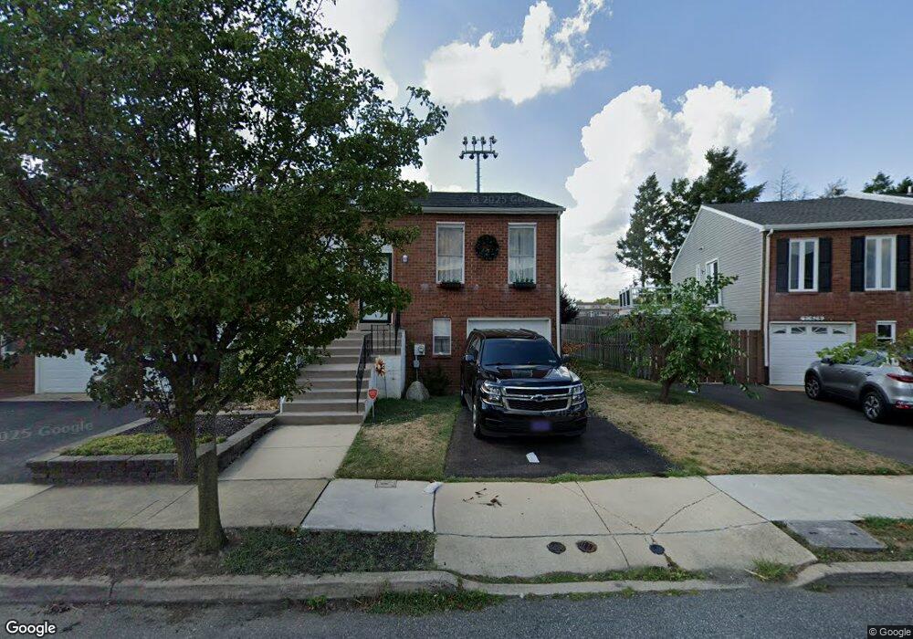
10826 Pelle Cir Philadelphia, PA 19154
Northeast Philadelphia NeighborhoodEstimated Value: $305,000 - $345,000
2
Beds
1
Bath
960
Sq Ft
$330/Sq Ft
Est. Value
About This Home
This home is located at 10826 Pelle Cir, Philadelphia, PA 19154 and is currently estimated at $317,175, approximately $330 per square foot. 10826 Pelle Cir is a home located in Philadelphia County with nearby schools including A. L. Fitzpatrick School, George Washington High School, and Christ The King Elementary School.
Ownership History
Date
Name
Owned For
Owner Type
Purchase Details
Closed on
Jun 29, 2005
Sold by
Mcgovern Francis W and Mcgovern Mary T
Bought by
Market Matthew
Current Estimated Value
Home Financials for this Owner
Home Financials are based on the most recent Mortgage that was taken out on this home.
Original Mortgage
$150,160
Outstanding Balance
$77,777
Interest Rate
5.54%
Mortgage Type
Fannie Mae Freddie Mac
Estimated Equity
$239,398
Create a Home Valuation Report for This Property
The Home Valuation Report is an in-depth analysis detailing your home's value as well as a comparison with similar homes in the area
Home Values in the Area
Average Home Value in this Area
Purchase History
| Date | Buyer | Sale Price | Title Company |
|---|---|---|---|
| Market Matthew | $187,700 | Lawyers Title Insurance Corp |
Source: Public Records
Mortgage History
| Date | Status | Borrower | Loan Amount |
|---|---|---|---|
| Open | Market Matthew | $150,160 |
Source: Public Records
Tax History Compared to Growth
Tax History
| Year | Tax Paid | Tax Assessment Tax Assessment Total Assessment is a certain percentage of the fair market value that is determined by local assessors to be the total taxable value of land and additions on the property. | Land | Improvement |
|---|---|---|---|---|
| 2025 | $3,176 | $280,400 | $56,080 | $224,320 |
| 2024 | $3,176 | $280,400 | $56,080 | $224,320 |
| 2023 | $3,176 | $226,900 | $45,380 | $181,520 |
| 2022 | $2,223 | $181,900 | $45,380 | $136,520 |
| 2021 | $2,853 | $0 | $0 | $0 |
| 2020 | $2,853 | $0 | $0 | $0 |
| 2019 | $2,686 | $0 | $0 | $0 |
| 2018 | $2,511 | $0 | $0 | $0 |
| 2017 | $2,511 | $0 | $0 | $0 |
| 2016 | $2,091 | $0 | $0 | $0 |
| 2015 | $2,002 | $0 | $0 | $0 |
| 2014 | -- | $179,400 | $49,500 | $129,900 |
| 2012 | -- | $23,072 | $2,427 | $20,645 |
Source: Public Records
Map
Nearby Homes
- 10730 Philcrest Rd
- 3326 Elliston Cir
- 3300 Ashfield Ln
- 10852 Rayland Rd
- 3319 Morrell Ave
- 10210 W Keswick Rd
- 3239 Red Lion Rd
- 3237 Red Lion Rd
- 3411 Morrell Ave
- 3225 Kilburn Rd
- 10935 Carey Plaza
- 3803 Dorchester Rd
- 3798 Chalfont Dr
- 10012 Warfield Place
- 3212 Saxon Place
- 3559 Churchill Ln
- 3581 Nottingham Ln
- 3583 Nottingham Ln
- 3202 Thornbrook Place
- 3599C Nottingham Ln
- 10824 Pelle Cir
- 10828 Pelle Cir
- 10822 Pelle Cir
- 10830 Pelle Cir
- 10820 Pelle Cir
- 10832 Pelle Cir
- 10818 Pelle Cir
- 10816 Pelle Cir
- 10834 Pelle Cir
- 10814 Pelle Cir
- 10825 Pelle Cir
- 10829 Pelle Cir
- 10823 Pelle Cir
- 10827 Pelle Cir
- 10821 Pelle Cir
- 10819 Pelle Cir
- 10817 Pelle Cir
- 10815 Pelle Cir
- 10812 Pelle Cir
- 10836 Pelle Cir