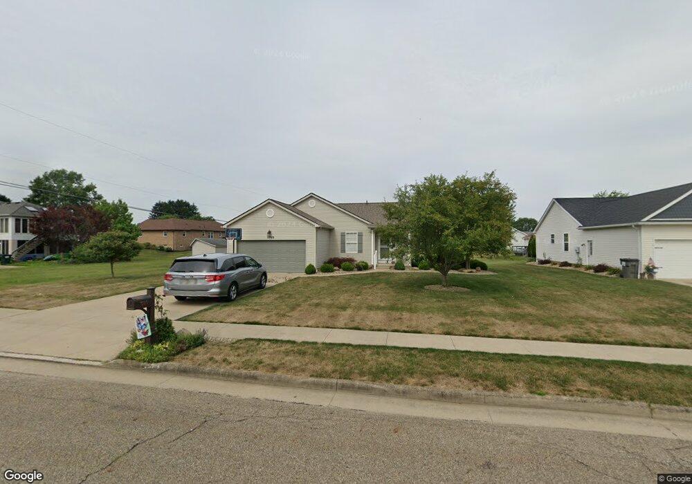
1085 S Marion Ave Louisville, OH 44641
Estimated Value: $251,211 - $286,000
3
Beds
2
Baths
1,467
Sq Ft
$186/Sq Ft
Est. Value
About This Home
This home is located at 1085 S Marion Ave, Louisville, OH 44641 and is currently estimated at $273,053, approximately $186 per square foot. 1085 S Marion Ave is a home located in Stark County with nearby schools including Louisville High School and St. Thomas Aquinas High School & Middle School.
Ownership History
Date
Name
Owned For
Owner Type
Purchase Details
Closed on
Jun 23, 2020
Sold by
Brindack Amy
Bought by
Hill Blake James and Hill Casey R
Current Estimated Value
Home Financials for this Owner
Home Financials are based on the most recent Mortgage that was taken out on this home.
Original Mortgage
$165,750
Outstanding Balance
$146,925
Interest Rate
3.2%
Mortgage Type
New Conventional
Estimated Equity
$126,128
Purchase Details
Closed on
Jul 3, 2006
Sold by
Schalmo Builders Inc
Bought by
Lab Judith A and Lab Family Revocable Living Trust
Create a Home Valuation Report for This Property
The Home Valuation Report is an in-depth analysis detailing your home's value as well as a comparison with similar homes in the area
Home Values in the Area
Average Home Value in this Area
Purchase History
| Date | Buyer | Sale Price | Title Company |
|---|---|---|---|
| Hill Blake James | $195,000 | None Available | |
| Lab Judith A | $157,900 | Cornerstone Real Estate Titl |
Source: Public Records
Mortgage History
| Date | Status | Borrower | Loan Amount |
|---|---|---|---|
| Open | Hill Blake James | $165,750 |
Source: Public Records
Tax History Compared to Growth
Tax History
| Year | Tax Paid | Tax Assessment Tax Assessment Total Assessment is a certain percentage of the fair market value that is determined by local assessors to be the total taxable value of land and additions on the property. | Land | Improvement |
|---|---|---|---|---|
| 2025 | -- | $70,700 | $15,680 | $55,020 |
| 2024 | -- | $70,700 | $15,680 | $55,020 |
| 2023 | $2,690 | $62,590 | $14,810 | $47,780 |
| 2022 | $2,696 | $62,590 | $14,810 | $47,780 |
| 2021 | $2,703 | $62,590 | $14,810 | $47,780 |
| 2020 | $1,879 | $55,970 | $13,340 | $42,630 |
| 2019 | $1,962 | $57,860 | $13,340 | $44,520 |
| 2018 | $1,954 | $57,860 | $13,340 | $44,520 |
| 2017 | $1,790 | $52,160 | $11,730 | $40,430 |
| 2016 | $1,827 | $52,160 | $11,730 | $40,430 |
| 2015 | $1,832 | $52,160 | $11,730 | $40,430 |
| 2014 | $1,649 | $45,050 | $10,120 | $34,930 |
| 2013 | $828 | $45,050 | $10,120 | $34,930 |
Source: Public Records
Map
Nearby Homes
- 1715 High St
- 1812 E Broad St
- 2110 Edmar St
- 641 S Nickelplate St
- 308 Superior St
- 520 S Silver St
- 728 E Broad St
- 908 Sand Lot Cir
- 2015 E Main St
- 0 Michigan Blvd
- 3390 Meese Rd NE
- 510 S Bauman Ct
- 204 E Broad St
- 107 E Broad St
- 325 Lincoln Ave
- 1702 View Pointe Ave
- 1170 Winding Ridge Ave
- 8225 Georgetown St
- 1639 Horizon Dr
- 910 Crosswyck Cir
- 1055 S Marion Ave
- 1731 Opal St
- 1728 Briarwood St
- 1721 Opal St
- 1025 S Marion Ave
- 1716 Briarwood St
- 1080 S Marion Ave
- 1805 Opal St
- 1060 S Marion Ave
- 1707 Opal St
- 1040 S Marion Ave
- 1704 Briarwood St
- 1739 Briarwood St
- 1756 Briarwood St
- 1817 Opal St
- 1730 Opal St
- 1720 Opal St
- 58 Briarwood St
- 1055 Cypress Ave
- 1727 Briarwood St