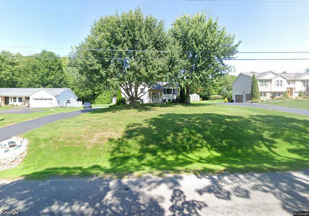
10866 Pettis Rd Meadville, PA 16335
Estimated Value: $141,000 - $251,000
--
Bed
--
Bath
--
Sq Ft
0.5
Acres
About This Home
This home is located at 10866 Pettis Rd, Meadville, PA 16335 and is currently estimated at $185,331. 10866 Pettis Rd is a home located in Crawford County with nearby schools including Neason Hill Elementary School, Meadville Middle School, and Meadville Area Senior High School.
Ownership History
Date
Name
Owned For
Owner Type
Purchase Details
Closed on
Jul 23, 2008
Sold by
Schnarrs Barbara J and Estate Of Richard E Schnarrs
Bought by
Mangel Charles J and Magel Stacie L
Current Estimated Value
Home Financials for this Owner
Home Financials are based on the most recent Mortgage that was taken out on this home.
Original Mortgage
$167,373
Outstanding Balance
$110,253
Interest Rate
6.49%
Mortgage Type
FHA
Estimated Equity
$75,078
Create a Home Valuation Report for This Property
The Home Valuation Report is an in-depth analysis detailing your home's value as well as a comparison with similar homes in the area
Home Values in the Area
Average Home Value in this Area
Purchase History
| Date | Buyer | Sale Price | Title Company |
|---|---|---|---|
| Mangel Charles J | $170,000 | Genuine Title Llc |
Source: Public Records
Mortgage History
| Date | Status | Borrower | Loan Amount |
|---|---|---|---|
| Open | Mangel Charles J | $167,373 |
Source: Public Records
Tax History Compared to Growth
Tax History
| Year | Tax Paid | Tax Assessment Tax Assessment Total Assessment is a certain percentage of the fair market value that is determined by local assessors to be the total taxable value of land and additions on the property. | Land | Improvement |
|---|---|---|---|---|
| 2025 | $1,099 | $40,566 | $4,496 | $36,070 |
| 2024 | $1,586 | $40,566 | $4,496 | $36,070 |
| 2023 | $1,627 | $40,566 | $4,496 | $36,070 |
| 2022 | $3,268 | $40,566 | $4,496 | $36,070 |
| 2021 | $3,193 | $40,566 | $4,496 | $36,070 |
| 2020 | $3,193 | $40,566 | $4,496 | $36,070 |
| 2019 | $3,193 | $40,566 | $4,496 | $36,070 |
| 2018 | $3,041 | $40,566 | $4,496 | $36,070 |
| 2017 | $3,008 | $40,566 | $4,496 | $36,070 |
| 2016 | $937 | $40,566 | $4,496 | $36,070 |
| 2015 | $937 | $40,566 | $4,496 | $36,070 |
| 2014 | -- | $40,566 | $4,496 | $36,070 |
Source: Public Records
Map
Nearby Homes
- 21427 Phelps Rd
- 21757 Star Route
- 20231 Homecroft Rd
- 20899 Star Route
- 12336 Leslie Rd
- 10845 Graff St
- 826 Irvin Ave
- 970 S Morgan St
- 12988 Raymond Dr
- 802 Brawley Ave
- 703-705 Chestnut St
- 908 Fairview Ave
- 685 Chestnut St
- 10223 Liberty Street Extension
- 24155 State Route 27
- 626 Walnut St
- 673 Washington St
- 1003 Catherine St
- 1000-1002 Catherine St
- 586 Walnut St
- 10874 Pettis Rd
- 10858 Pettis Rd
- 10846 Pettis Rd
- 10838 Pettis Rd
- 10875 Pettis Rd
- 10895 Pettis Rd
- 10828 Pettis Rd
- 10799 Pettis Rd
- 10710 Pettis Rd
- 10893 Pettis Rd
- 10972 Pettis Rd
- 21921 Crimson Dr
- 10851 Heather Dr
- 21939 Crimson Dr
- 10883 Heather Dr
- 21957 Crimson Dr
- 10897 Heather Dr
- 22003 Crimson Dr
- 22023 Crimson Dr
- 21934 Crimson Dr