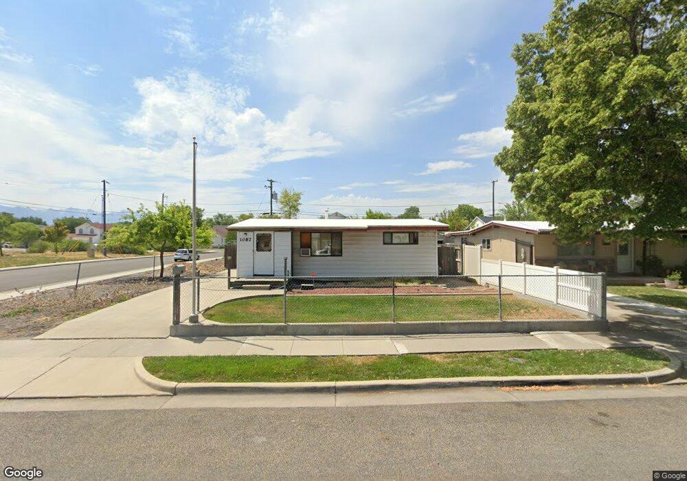
1087 Illinois Ave Salt Lake City, UT 84104
Glendale NeighborhoodEstimated Value: $346,000 - $371,000
2
Beds
1
Bath
825
Sq Ft
$437/Sq Ft
Est. Value
About This Home
This home is located at 1087 Illinois Ave, Salt Lake City, UT 84104 and is currently estimated at $360,392, approximately $436 per square foot. 1087 Illinois Ave is a home located in Salt Lake County with nearby schools including Riley Elementary School, Glendale Middle, and East High School.
Ownership History
Date
Name
Owned For
Owner Type
Purchase Details
Closed on
Jan 11, 2019
Sold by
Kuhn M C
Bought by
Kuhn Mark Christian
Current Estimated Value
Purchase Details
Closed on
Sep 22, 2010
Sold by
Kuhn H C
Bought by
Kuhn H C and Kuhn M
Purchase Details
Closed on
Dec 20, 2007
Sold by
Kuhn Hans Christian and Kuhn Hans C
Bought by
Kuhn Hans Christian and The H C Kuhn Trust
Purchase Details
Closed on
Feb 13, 2007
Sold by
Kuhn Hc and Kuhn Mary C
Bought by
Kuhn H C and Kuhn Mary C
Create a Home Valuation Report for This Property
The Home Valuation Report is an in-depth analysis detailing your home's value as well as a comparison with similar homes in the area
Home Values in the Area
Average Home Value in this Area
Purchase History
| Date | Buyer | Sale Price | Title Company |
|---|---|---|---|
| Kuhn Mark Christian | -- | None Available | |
| Kuhn H C | -- | None Available | |
| Kuhn H C | -- | None Available | |
| Kuhn Hans Christian | -- | None Available | |
| Kuhn H C | -- | None Available |
Source: Public Records
Tax History Compared to Growth
Tax History
| Year | Tax Paid | Tax Assessment Tax Assessment Total Assessment is a certain percentage of the fair market value that is determined by local assessors to be the total taxable value of land and additions on the property. | Land | Improvement |
|---|---|---|---|---|
| 2025 | $1,513 | $303,300 | $150,800 | $152,500 |
| 2024 | $1,513 | $288,700 | $142,700 | $146,000 |
| 2023 | $1,276 | $234,600 | $161,400 | $73,200 |
| 2022 | $0 | $243,800 | $158,200 | $85,600 |
| 2021 | $1,189 | $185,800 | $124,700 | $61,100 |
| 2020 | $1,159 | $172,400 | $119,900 | $52,500 |
| 2019 | $1,183 | $165,500 | $106,400 | $59,100 |
| 2018 | $0 | $131,900 | $106,400 | $25,500 |
| 2017 | $1,001 | $127,700 | $106,400 | $21,300 |
| 2016 | $833 | $101,000 | $74,800 | $26,200 |
| 2015 | -- | $112,300 | $77,000 | $35,300 |
| 2014 | $931 | $106,100 | $75,600 | $30,500 |
Source: Public Records
Map
Nearby Homes
- 1134 Illinois Ave
- 1083 W Fremont Ave
- 1229 S Emery St
- 1130 S 1200 W
- 1279 Emery St W
- 1172 Concord St
- 1361 S 1000 W
- 1145 S Navajo St
- 938 W 1400 S
- 1195 S 800 W
- 751 W Paxton Ave
- 1365 W 1300 S
- 1218 W 900 S
- 1078 S 1400 W
- 946 Navajo St
- 919 S 1400 W
- 801 W Genesee Ave
- 757 S 1000 W
- 1220 S Redwood Dr
- 1540 S 900 W
- 1095 Illinois Ave
- 1105 Illinois Ave
- 1168 Ontario Dr
- 1098 Modesto Ave
- 1111 Illinois Ave
- 1149 S 1100 W
- 1106 Modesto Ave
- 1106 W Modesto Ave
- 1106 Illinois Ave
- 1119 Illinois Ave
- 1119 W Illinois Ave
- 1145 S 1100 W
- 1114 Modesto Ave
- 1154 S 1100 W
- 1125 Illinois Ave
- 1182 Ontario Dr
- 1122 W Modesto Ave
- 1122 Modesto Ave
- 1116 Illinois Ave
- 1148 S 1100 W