109 Cannon Hill Dr Elizabethton, TN 37643
Estimated Value: $152,000 - $285,000
--
Bed
--
Bath
1,075
Sq Ft
$186/Sq Ft
Est. Value
About This Home
This home is located at 109 Cannon Hill Dr, Elizabethton, TN 37643 and is currently estimated at $199,887, approximately $185 per square foot. 109 Cannon Hill Dr is a home.
Ownership History
Date
Name
Owned For
Owner Type
Purchase Details
Closed on
May 21, 2019
Sold by
Walker Angela
Bought by
Andes Brian K
Current Estimated Value
Purchase Details
Closed on
Nov 23, 2005
Sold by
Cannon William J
Bought by
Andes Brian K
Home Financials for this Owner
Home Financials are based on the most recent Mortgage that was taken out on this home.
Original Mortgage
$85,400
Interest Rate
7.38%
Purchase Details
Closed on
May 26, 1967
Bought by
Cannon William J and Cannon Joann B
Create a Home Valuation Report for This Property
The Home Valuation Report is an in-depth analysis detailing your home's value as well as a comparison with similar homes in the area
Home Values in the Area
Average Home Value in this Area
Purchase History
| Date | Buyer | Sale Price | Title Company |
|---|---|---|---|
| Andes Brian K | -- | None Available | |
| Andes Brian K | -- | None Available | |
| Andes Brian K | $87,900 | -- | |
| Cannon William J | -- | -- |
Source: Public Records
Mortgage History
| Date | Status | Borrower | Loan Amount |
|---|---|---|---|
| Previous Owner | Cannon William J | $85,400 |
Source: Public Records
Tax History Compared to Growth
Tax History
| Year | Tax Paid | Tax Assessment Tax Assessment Total Assessment is a certain percentage of the fair market value that is determined by local assessors to be the total taxable value of land and additions on the property. | Land | Improvement |
|---|---|---|---|---|
| 2024 | $554 | $27,025 | $6,125 | $20,900 |
| 2023 | $554 | $25,400 | $0 | $0 |
| 2022 | $516 | $25,400 | $6,125 | $19,275 |
| 2021 | $516 | $25,400 | $6,125 | $19,275 |
| 2020 | $542 | $25,400 | $6,125 | $19,275 |
| 2019 | $542 | $21,925 | $4,900 | $17,025 |
| 2018 | $531 | $21,500 | $4,900 | $16,600 |
| 2017 | $531 | $21,500 | $4,900 | $16,600 |
| 2016 | $527 | $21,500 | $4,900 | $16,600 |
| 2015 | $527 | $21,500 | $4,900 | $16,600 |
| 2014 | $492 | $20,075 | $4,925 | $15,150 |
Source: Public Records
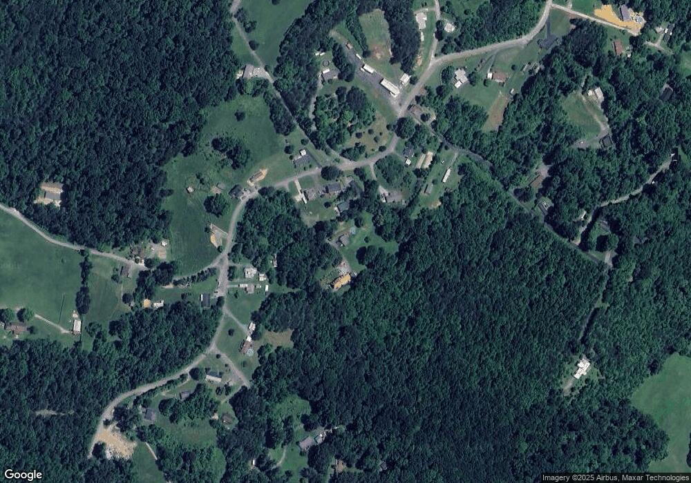
Map
Nearby Homes
- Tbd Cannon Hill Dr
- 133 Hickory Hollow Rd
- 278 Long Hollow Rd
- 637 Long Hollow Rd
- 113 Constitution Ave
- Lot 8 Emerald Hills Dr
- Lots 5&6 Emerald Hills Dr
- Lot 1 Emerald Hills Dr
- Lots 4567 Emerald Hills Dr
- 118 Mountain View Cir
- 138 Lexington Ave
- 129 Jim Elliott Rd
- 142 Earl Ave
- 136 Ruby Ave
- TBD River Rd
- 2600 State Line Rd
- Tbd Hampton Dr
- 220 Jenkins Hollow Rd
- 2108 State Line Rd
- 2100 State Line Rd
- 385 Coal Chute Rd
- 393 Coal Chute Rd
- 112 Cannon Hill Dr
- 381 Coal Chute Rd
- 399 Coal Chute Rd
- 110 Centerview Dr
- 377 Coal Chute Rd
- 375 Coal Chute Rd
- 423 Coal Chute Rd
- 425 Coal Chute Rd
- 410 Coal Chute Rd
- 382 Coal Chute Rd
- 123 Centerview Dr
- 133 Centerview Dr
- 418 Coal Chute Rd
- 428 Coal Chute Rd
- 135 Centerview Dr
- 386 Coal Chute Rd
- 360 Coal Chute Rd
- 227 Centerview Dr