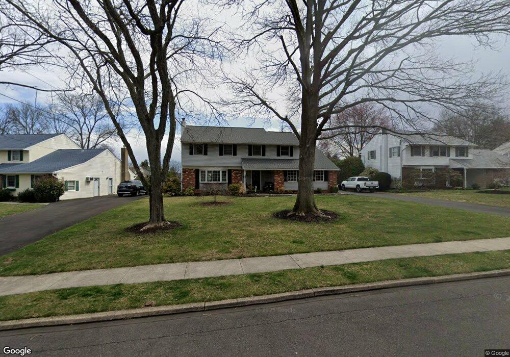
109 Quince Dr Hatboro, PA 19040
Estimated Value: $582,450 - $646,000
4
Beds
3
Baths
2,463
Sq Ft
$251/Sq Ft
Est. Value
About This Home
This home is located at 109 Quince Dr, Hatboro, PA 19040 and is currently estimated at $618,363, approximately $251 per square foot. 109 Quince Dr is a home located in Montgomery County with nearby schools including Blair Mill Elementary School, Keith Valley Middle School, and Hatboro-Horsham Senior High School.
Ownership History
Date
Name
Owned For
Owner Type
Purchase Details
Closed on
Feb 25, 2020
Sold by
Selgrath John Paul and Selgrath Cheryl Lynn
Bought by
Torok Jacob and Torok Casey
Current Estimated Value
Home Financials for this Owner
Home Financials are based on the most recent Mortgage that was taken out on this home.
Original Mortgage
$360,000
Outstanding Balance
$319,433
Interest Rate
3.6%
Mortgage Type
New Conventional
Estimated Equity
$298,930
Purchase Details
Closed on
Oct 26, 1976
Bought by
Selgrath John Paul and Cheryl Lynn
Create a Home Valuation Report for This Property
The Home Valuation Report is an in-depth analysis detailing your home's value as well as a comparison with similar homes in the area
Home Values in the Area
Average Home Value in this Area
Purchase History
| Date | Buyer | Sale Price | Title Company |
|---|---|---|---|
| Torok Jacob | $420,000 | None Available | |
| Selgrath John Paul | $58,000 | -- |
Source: Public Records
Mortgage History
| Date | Status | Borrower | Loan Amount |
|---|---|---|---|
| Open | Torok Jacob | $360,000 |
Source: Public Records
Tax History Compared to Growth
Tax History
| Year | Tax Paid | Tax Assessment Tax Assessment Total Assessment is a certain percentage of the fair market value that is determined by local assessors to be the total taxable value of land and additions on the property. | Land | Improvement |
|---|---|---|---|---|
| 2025 | $6,710 | $170,680 | -- | -- |
| 2024 | $6,710 | $170,680 | -- | -- |
| 2023 | $6,387 | $170,680 | $0 | $0 |
| 2022 | $6,179 | $170,680 | $0 | $0 |
| 2021 | $6,033 | $170,680 | $0 | $0 |
| 2020 | $5,891 | $170,680 | $0 | $0 |
| 2019 | $4,822 | $168,470 | $60,430 | $108,040 |
| 2018 | $4,546 | $168,470 | $60,430 | $108,040 |
| 2017 | $5,448 | $168,470 | $60,430 | $108,040 |
| 2016 | $5,382 | $168,470 | $60,430 | $108,040 |
| 2015 | $5,140 | $168,470 | $60,430 | $108,040 |
| 2014 | $5,140 | $168,470 | $60,430 | $108,040 |
Source: Public Records
Map
Nearby Homes
- 236 Oak Hill Dr
- 125 Meetinghouse Rd
- 243 Summer Ave
- 14 Norwyn Rd
- 322 W Moreland Ave
- 491 Prospect Rd
- 414 Watson Ave
- 204 Wilson Ave
- 472 4th Ave
- 474 Easton Rd
- 102 Earl Ln
- 336 Laurel Ave
- 735 Claire Rd
- 2615 Horsham Rd
- 2625 Horsham Rd
- 890 Easton Rd
- 47 Fairview Ave
- 1130 Victoria Rd
- 425 Grape St
- 322 Bonair Ave
- 111 Quince Dr
- 107 Quince Dr
- 105 Quince Dr
- 113 Quince Dr
- 108 Crab Apple Ln
- 106 Crab Apple Ln
- 110 Crab Apple Ln
- 104 Crab Apple Ln
- 108 Quince Dr
- 110 Quince Dr
- 103 Quince Dr
- 106 Quince Dr
- 115 Quince Dr
- 112 Quince Dr
- 102 Crab Apple Ln
- 104 Quince Dr
- 112 Crab Apple Ln
- 114 Quince Dr
- 102 Quince Dr
- 223 Oak Hill Dr