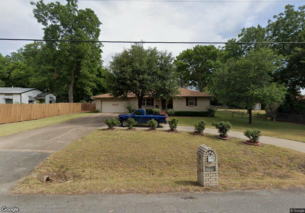
109 Spinner Rd Desoto, TX 75115
Estimated Value: $227,760 - $266,000
3
Beds
2
Baths
1,237
Sq Ft
$201/Sq Ft
Est. Value
About This Home
This home is located at 109 Spinner Rd, Desoto, TX 75115 and is currently estimated at $249,190, approximately $201 per square foot. 109 Spinner Rd is a home located in Dallas County with nearby schools including Ruby Young Elementary School, Desoto West Middle (Isteam), and Golden Rule Desoto.
Ownership History
Date
Name
Owned For
Owner Type
Purchase Details
Closed on
Nov 12, 1993
Sold by
Crouch A J and Crouch Goldie Rae
Bought by
Ramsey Mary A and Ramsey Robert N
Current Estimated Value
Home Financials for this Owner
Home Financials are based on the most recent Mortgage that was taken out on this home.
Original Mortgage
$53,354
Interest Rate
6.86%
Mortgage Type
FHA
Create a Home Valuation Report for This Property
The Home Valuation Report is an in-depth analysis detailing your home's value as well as a comparison with similar homes in the area
Home Values in the Area
Average Home Value in this Area
Purchase History
| Date | Buyer | Sale Price | Title Company |
|---|---|---|---|
| Ramsey Mary A | -- | -- |
Source: Public Records
Mortgage History
| Date | Status | Borrower | Loan Amount |
|---|---|---|---|
| Closed | Ramsey Mary A | $53,354 |
Source: Public Records
Tax History Compared to Growth
Tax History
| Year | Tax Paid | Tax Assessment Tax Assessment Total Assessment is a certain percentage of the fair market value that is determined by local assessors to be the total taxable value of land and additions on the property. | Land | Improvement |
|---|---|---|---|---|
| 2025 | $655 | $189,570 | $31,200 | $158,370 |
| 2024 | $655 | $189,570 | $31,200 | $158,370 |
| 2023 | $655 | $138,260 | $31,200 | $107,060 |
| 2022 | $869 | $138,260 | $0 | $0 |
| 2021 | $3,633 | $134,210 | $31,200 | $103,010 |
| 2020 | $3,852 | $134,210 | $31,200 | $103,010 |
| 2019 | $3,849 | $134,210 | $31,200 | $103,010 |
| 2018 | $2,164 | $74,960 | $13,460 | $61,500 |
| 2017 | $625 | $74,960 | $13,460 | $61,500 |
| 2016 | $2,111 | $73,810 | $10,920 | $62,890 |
| 2015 | $1,536 | $73,810 | $10,920 | $62,890 |
| 2014 | $1,536 | $63,670 | $10,920 | $52,750 |
Source: Public Records
Map
Nearby Homes
- 404 Rainier St
- 413 Kearsarge St
- 425 Kearsarge St
- 417 Newpark Blvd
- 408 Newpark Blvd
- 416 Newpark Blvd
- 405 Newpark Blvd
- 913 Vince Ln
- 520 Jeff Grimes Blvd
- 404 Mckinley St
- 408 Mckinley St
- 928 Oak Trail
- 634 Rickey Canyon Ave
- 328 E Pleasant Run Rd
- 524 Elias St
- 440 Shasta St
- 400 E Pleasant Run Rd
- 325 W Belt Line Rd
- 626 Saddlebrook
- 417 Tower St
- 107 Spinner Rd
- 111 Spinner Rd
- 106 Spinner Rd
- 205 Spinner Rd
- 104 Spinner Rd
- 204 W Spinner Rd
- 204 Spinner Rd
- 209 Spinner Rd
- 101 Spinner Cir
- 517 N Hampton Rd
- 100 Spinner Cir
- 213 Spinner Rd
- 101 Methodist Way
- 102 Spinner Cir
- 103 Spinner Cir
- 102 Jefferson Ave
- 217 Spinner Rd
- 104 Spinner Cir
- 518 N Hampton Rd
- 200 Dalton Dr