109 Todd Pond Rd Lincoln, MA 01773
Estimated Value: $4,002,000 - $5,041,000
6
Beds
9
Baths
11,262
Sq Ft
$401/Sq Ft
Est. Value
About This Home
This home is located at 109 Todd Pond Rd, Lincoln, MA 01773 and is currently estimated at $4,521,500, approximately $401 per square foot. 109 Todd Pond Rd is a home located in Middlesex County with nearby schools including Lincoln-Sudbury Regional High School.
Create a Home Valuation Report for This Property
The Home Valuation Report is an in-depth analysis detailing your home's value as well as a comparison with similar homes in the area
Home Values in the Area
Average Home Value in this Area
Tax History Compared to Growth
Tax History
| Year | Tax Paid | Tax Assessment Tax Assessment Total Assessment is a certain percentage of the fair market value that is determined by local assessors to be the total taxable value of land and additions on the property. | Land | Improvement |
|---|---|---|---|---|
| 2025 | $580 | $4,525,800 | $1,262,600 | $3,263,200 |
| 2024 | $53,628 | $4,160,400 | $1,156,500 | $3,003,900 |
| 2023 | $57,634 | $4,140,400 | $1,136,500 | $3,003,900 |
| 2022 | $56,734 | $3,800,000 | $1,078,100 | $2,721,900 |
| 2021 | $62,617 | $4,034,600 | $1,116,500 | $2,918,100 |
| 2020 | $63,193 | $4,114,100 | $1,076,500 | $3,037,600 |
| 2019 | $59,792 | $4,261,700 | $1,051,700 | $3,210,000 |
| 2018 | $57,959 | $4,261,700 | $1,051,700 | $3,210,000 |
| 2017 | $56,481 | $4,122,700 | $1,051,700 | $3,071,000 |
| 2016 | $56,923 | $4,068,800 | $1,025,300 | $3,043,500 |
| 2015 | $56,277 | $3,977,200 | $961,300 | $3,015,900 |
| 2014 | $56,330 | $3,909,100 | $948,500 | $2,960,600 |
Source: Public Records
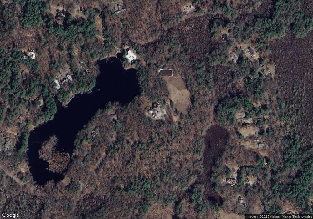
Map
Nearby Homes
- 130 Tower Rd
- 19 Conant Rd
- 22 Lincoln Rd
- 3 Clifford Ln
- 6 Clifford Ln
- 44 Baker Bridge Rd
- 12 Laurel Dr
- 60 Baker Bridge Rd
- 152 S Great Rd
- 244 Lincoln Rd
- 75 Westland Rd
- 93 Old Sudbury Rd
- 5 Peakes Ln
- 426 Conant Rd
- 121 Cherry Brook Rd
- 416 Conant Rd
- 33 Old Concord Rd
- 51 Willard Rd
- 88 Winter St
- 8 Stratford Way