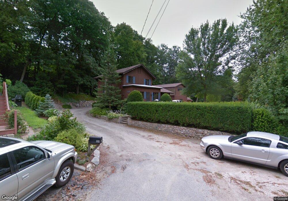
109 Wolcott St Manchester, NH 03103
Highlands NeighborhoodEstimated Value: $429,000 - $474,000
2
Beds
2
Baths
1,668
Sq Ft
$273/Sq Ft
Est. Value
About This Home
This home is located at 109 Wolcott St, Manchester, NH 03103 and is currently estimated at $456,014, approximately $273 per square foot. 109 Wolcott St is a home located in Hillsborough County with nearby schools including Bakersville School, Southside Middle School, and Manchester Memorial High School.
Ownership History
Date
Name
Owned For
Owner Type
Purchase Details
Closed on
Apr 12, 2021
Sold by
Deyoung Jonathan R and Deyoung Casey A
Bought by
Deyoung and Deyoung Casey A
Current Estimated Value
Home Financials for this Owner
Home Financials are based on the most recent Mortgage that was taken out on this home.
Original Mortgage
$254,450
Interest Rate
3.05%
Mortgage Type
New Conventional
Purchase Details
Closed on
Nov 3, 1995
Bought by
Marcoux Wayne A
Create a Home Valuation Report for This Property
The Home Valuation Report is an in-depth analysis detailing your home's value as well as a comparison with similar homes in the area
Home Values in the Area
Average Home Value in this Area
Purchase History
| Date | Buyer | Sale Price | Title Company |
|---|---|---|---|
| Deyoung | -- | None Available | |
| Deyoung | -- | None Available | |
| Deyoung Jonathan R | -- | None Available | |
| Marcoux Wayne A | $4,000 | -- |
Source: Public Records
Mortgage History
| Date | Status | Borrower | Loan Amount |
|---|---|---|---|
| Previous Owner | Deyoung | $254,450 | |
| Previous Owner | Marcoux Wayne A | $45,000 |
Source: Public Records
Tax History Compared to Growth
Tax History
| Year | Tax Paid | Tax Assessment Tax Assessment Total Assessment is a certain percentage of the fair market value that is determined by local assessors to be the total taxable value of land and additions on the property. | Land | Improvement |
|---|---|---|---|---|
| 2024 | $6,219 | $317,600 | $112,800 | $204,800 |
| 2023 | $5,990 | $317,600 | $112,800 | $204,800 |
| 2022 | $5,793 | $317,600 | $112,800 | $204,800 |
| 2021 | $5,615 | $317,600 | $112,800 | $204,800 |
| 2020 | $5,225 | $211,900 | $70,400 | $141,500 |
| 2019 | $5,153 | $211,900 | $70,400 | $141,500 |
| 2018 | $3,674 | $211,900 | $70,400 | $141,500 |
| 2017 | $2,322 | $211,900 | $70,400 | $141,500 |
| 2016 | $4,903 | $211,900 | $70,400 | $141,500 |
| 2015 | $4,805 | $205,000 | $66,700 | $138,300 |
| 2014 | $4,818 | $205,000 | $66,700 | $138,300 |
| 2013 | $4,647 | $205,000 | $66,700 | $138,300 |
Source: Public Records
Map
Nearby Homes
- 80 Billings St
- 139 Dunbar St
- 80 Emerald St
- 412 W Mitchell St
- 505 Brown Ave
- 118 W Hillcrest Ave
- 35 W Mitchell St
- 33 W Elmhurst Ave Unit B
- 23 Rosedale Ave
- 112 Riverdale Ave
- 49 Harvell St Unit 9
- 264 Calef Rd
- 664 S Main St
- 23 Vernon St Unit 3
- 545 Calef Rd Unit 26
- 161 Flint St
- 55 Salem St
- 131 Calef Rd
- 15 Patterson St
- 24 Fairbanks St
- 115 Wolcott St
- 104 Billings St
- 120 Wolcott St
- 125 Wolcott St
- 116 Billings St
- 66 Billings St Unit B
- 66 Billings St Unit A
- 66 Billings St Unit 1
- 49 Pinehurst St
- 58 Billings St
- 54 Elwood Ave
- 87 Billings St
- 130 Wolcott St
- 132 Wolcott St
- 44 Billings St
- 71 Billings St
- 33 Pinehurst St
- 122 Wolcott St
- 117 Billings St
- 150 Wolcott St