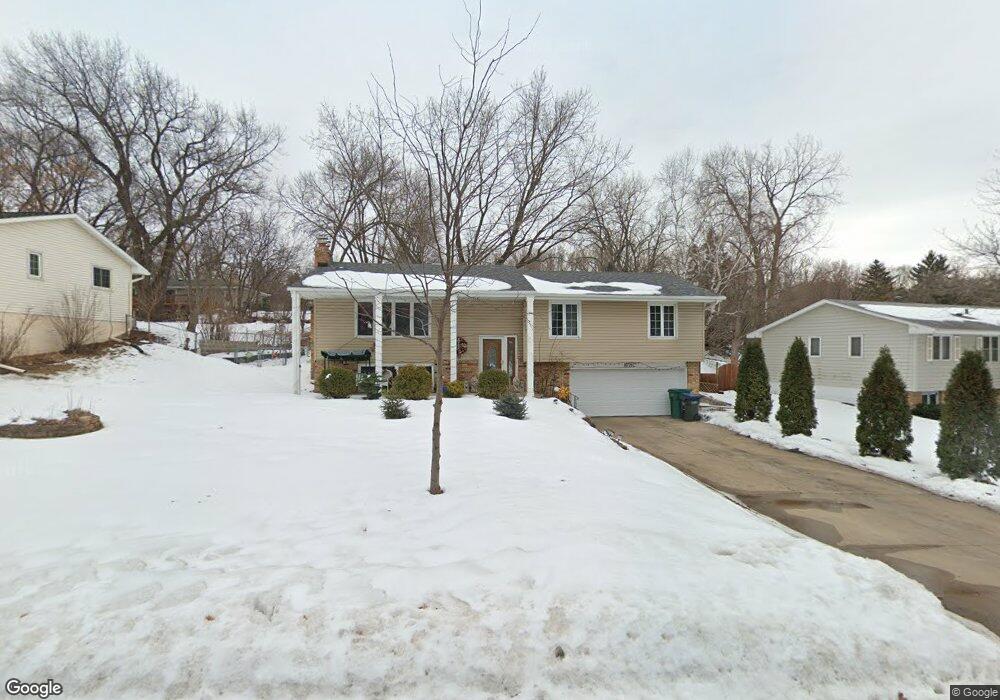
10916 Territorial Dr Burnsville, MN 55337
Estimated Value: $410,000 - $429,000
4
Beds
3
Baths
2,383
Sq Ft
$176/Sq Ft
Est. Value
About This Home
This home is located at 10916 Territorial Dr, Burnsville, MN 55337 and is currently estimated at $419,064, approximately $175 per square foot. 10916 Territorial Dr is a home located in Dakota County with nearby schools including Burnsville High School and Gateway STEM Academy.
Ownership History
Date
Name
Owned For
Owner Type
Purchase Details
Closed on
Dec 15, 2015
Sold by
Fischer Cheri R
Bought by
Nguyen Thanh Thuy T
Current Estimated Value
Home Financials for this Owner
Home Financials are based on the most recent Mortgage that was taken out on this home.
Original Mortgage
$163,100
Outstanding Balance
$66,094
Interest Rate
3.18%
Mortgage Type
New Conventional
Estimated Equity
$352,970
Create a Home Valuation Report for This Property
The Home Valuation Report is an in-depth analysis detailing your home's value as well as a comparison with similar homes in the area
Home Values in the Area
Average Home Value in this Area
Purchase History
| Date | Buyer | Sale Price | Title Company |
|---|---|---|---|
| Nguyen Thanh Thuy T | $233,000 | Burnet Title |
Source: Public Records
Mortgage History
| Date | Status | Borrower | Loan Amount |
|---|---|---|---|
| Open | Nguyen Thanh Thuy T | $163,100 |
Source: Public Records
Tax History Compared to Growth
Tax History
| Year | Tax Paid | Tax Assessment Tax Assessment Total Assessment is a certain percentage of the fair market value that is determined by local assessors to be the total taxable value of land and additions on the property. | Land | Improvement |
|---|---|---|---|---|
| 2024 | $4,482 | $413,300 | $90,100 | $323,200 |
| 2023 | $4,482 | $423,100 | $90,200 | $332,900 |
| 2022 | $3,764 | $414,100 | $90,000 | $324,100 |
| 2021 | $3,600 | $352,300 | $78,200 | $274,100 |
| 2020 | $3,546 | $321,800 | $71,400 | $250,400 |
| 2019 | $3,410 | $306,600 | $68,000 | $238,600 |
| 2018 | $3,314 | $282,300 | $64,800 | $217,500 |
| 2017 | $3,063 | $267,500 | $61,700 | $205,800 |
| 2016 | $3,229 | $245,400 | $58,800 | $186,600 |
| 2015 | $3,149 | $232,862 | $53,564 | $179,298 |
| 2014 | -- | $228,938 | $52,500 | $176,438 |
| 2013 | -- | $203,214 | $47,257 | $155,957 |
Source: Public Records
Map
Nearby Homes
- 11115 Carver Ct
- 2001 Woods Ln
- 11311 W River Hills Dr
- 11017 27th Ave S
- 2329 Explorer Ct
- 1601 Raleigh Dr
- 11036 27th Ave S
- 10934 Southview Dr
- 3108 Foxpoint Cir
- 3113 Chandler Ct
- 4165 Old Sibley Hwy
- 11459 Galtier Dr
- 2247 Liberty Ln
- 3017 Mcleod St
- 2177 Cool Stream Cir
- 10325 10th Avenue Cir S
- 2200 Horizon Rd
- 1800 Riverwood Dr Unit 110
- 1800 Riverwood Dr Unit 323
- 4413 Slater Rd
- 10920 Territorial Dr
- 10912 Territorial Dr
- 10910 Dakota Ct
- 10924 Territorial Dr
- 10908 Territorial Dr
- 10908 Dakota Ct
- 10919 Territorial Dr
- 10912 Dakota Ct
- 10917 Territorial Dr
- 10921 Territorial Dr
- 10915 Territorial Dr
- 10923 Territorial Dr
- 10904 Territorial Dr
- 10906 Dakota Ct
- 10928 Territorial Dr
- 1914 Sioux Ct
- 10927 Territorial Dr
- 10913 River Ct
- 10904 Dakota Ct
- 1916 Sioux Ct