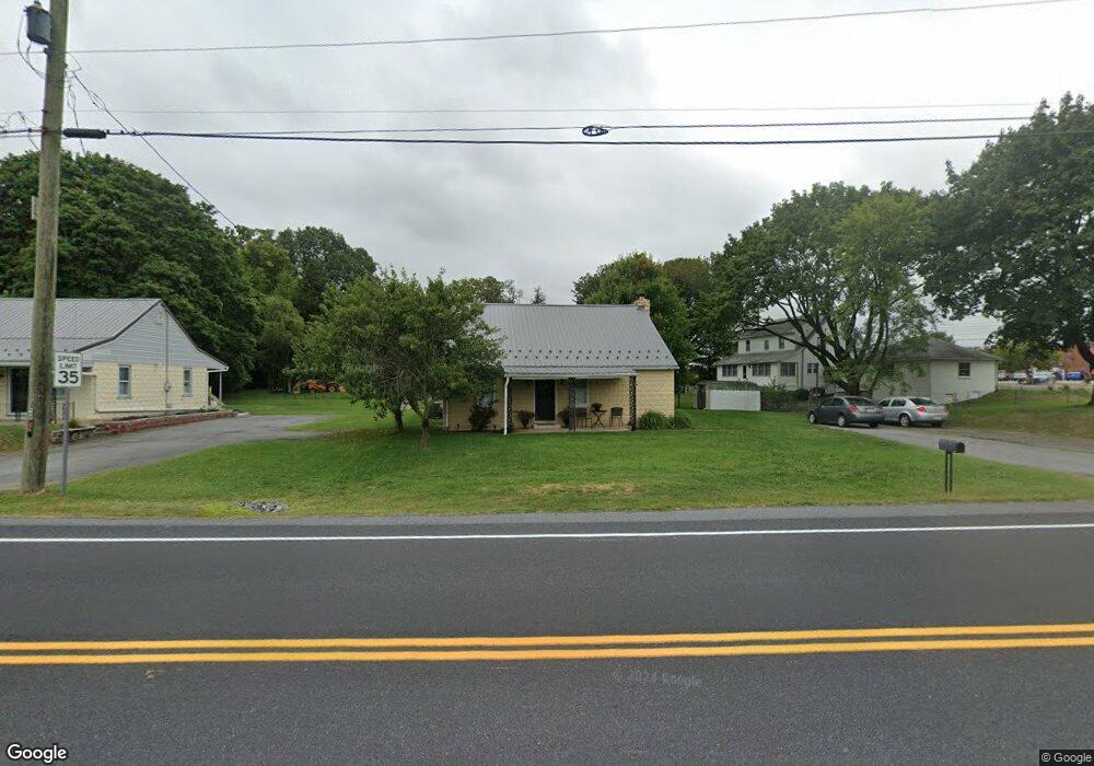
10964 Grindstone Hill Rd Greencastle, PA 17225
Estimated Value: $163,048 - $300,000
3
Beds
1
Bath
1,300
Sq Ft
$170/Sq Ft
Est. Value
About This Home
This home is located at 10964 Grindstone Hill Rd, Greencastle, PA 17225 and is currently estimated at $221,512, approximately $170 per square foot. 10964 Grindstone Hill Rd is a home located in Franklin County with nearby schools including Greencastle-Antrim Primary School, Greencastle-Antrim Elementary School, and Greencastle-Antrim Middle School.
Ownership History
Date
Name
Owned For
Owner Type
Purchase Details
Closed on
May 8, 2017
Sold by
Kendall Holly Renee and Black Holly Renee
Bought by
Byers Troy S and Byers Amy J
Current Estimated Value
Purchase Details
Closed on
Dec 29, 2006
Sold by
Summers Evelyn
Bought by
Kendall Jason and Black Holly Renee
Home Financials for this Owner
Home Financials are based on the most recent Mortgage that was taken out on this home.
Original Mortgage
$145,000
Interest Rate
9.6%
Mortgage Type
Assumption
Create a Home Valuation Report for This Property
The Home Valuation Report is an in-depth analysis detailing your home's value as well as a comparison with similar homes in the area
Home Values in the Area
Average Home Value in this Area
Purchase History
| Date | Buyer | Sale Price | Title Company |
|---|---|---|---|
| Byers Troy S | $85,500 | None Available | |
| Kendall Jason | $145,000 | None Available |
Source: Public Records
Mortgage History
| Date | Status | Borrower | Loan Amount |
|---|---|---|---|
| Previous Owner | Kendall Jason | $145,000 |
Source: Public Records
Tax History Compared to Growth
Tax History
| Year | Tax Paid | Tax Assessment Tax Assessment Total Assessment is a certain percentage of the fair market value that is determined by local assessors to be the total taxable value of land and additions on the property. | Land | Improvement |
|---|---|---|---|---|
| 2025 | $1,285 | $7,680 | $830 | $6,850 |
| 2024 | $1,166 | $7,680 | $830 | $6,850 |
| 2023 | $1,152 | $7,680 | $830 | $6,850 |
| 2022 | $1,152 | $7,680 | $830 | $6,850 |
| 2021 | $1,130 | $7,680 | $830 | $6,850 |
| 2020 | $1,100 | $7,680 | $830 | $6,850 |
| 2019 | $1,075 | $7,680 | $830 | $6,850 |
| 2018 | $1,064 | $7,680 | $830 | $6,850 |
| 2017 | $1,037 | $7,680 | $830 | $6,850 |
| 2016 | $220 | $7,680 | $830 | $6,850 |
| 2015 | $205 | $7,680 | $830 | $6,850 |
| 2014 | $205 | $7,680 | $830 | $6,850 |
Source: Public Records
Map
Nearby Homes
- 823 Buchanan Trail E
- 602 Brookview Dr
- 271 E Baltimore St
- 231 N Allison St Unit 1
- 560 Meadowview Cir
- 431 Leitersburg St
- 674 Lohman Ave
- 101 N Carlisle St
- 775 Lohman Ave
- 148 N Carlisle St
- 34.77 Acres Red Oak Estate S
- 45 W Dahlgren St
- 480 S Carlisle St
- 341 W Baltimore St
- 64 W Walter Ave
- 90 W Walter Ave
- 1631 Buchanan Trail E
- 140 Williamson Ave
- 0 Celestial Terrace
- 171 Celestial Terrace
- 813 Buchanan Trail E
- 10954 Grindstone Hill Rd
- 805 Buchanan Trail E
- 805 & 813 Buchanan Trail E
- 10944 Grindstone Hill Rd
- 819 Buchanan Trail E
- 814 Buchanan Trail E
- 10934 Grindstone Hill Rd
- 820 Buchanan Trail E
- 10935 Antrim Ct
- 10908 Grindstone Hill Rd
- 10908 Grindstone Hill Rd
- 10934 Antrim Ct
- 796 Buchanan Trail E
- 10932 Antrim Ct
- 10921 Antrim Ct
- 786 Buchanan Trail E
- 11125 Bemisderfer Rd
- 10894 Grindstone Hill Rd
- 10930 Antrim Ct