11 Holbrook Ave Prudence Island, RI 02872
Prudence Island NeighborhoodEstimated Value: $334,424 - $500,000
2
Beds
1
Bath
1,048
Sq Ft
$406/Sq Ft
Est. Value
About This Home
This home is located at 11 Holbrook Ave, Prudence Island, RI 02872 and is currently estimated at $425,356, approximately $405 per square foot. 11 Holbrook Ave is a home located in Newport County with nearby schools including Portsmouth High School.
Ownership History
Date
Name
Owned For
Owner Type
Purchase Details
Closed on
Feb 27, 2018
Sold by
Buckley Paul and Buckley Joyce
Bought by
Buckley Paul and Buckley Joyce
Current Estimated Value
Purchase Details
Closed on
Aug 6, 2008
Sold by
Hollis Joh and Hollis Mary
Bought by
Deutsche Bank Natl T C
Purchase Details
Closed on
Dec 7, 1994
Sold by
Hollis Florence C and Schofield Nadine
Bought by
Hollis Jon F
Create a Home Valuation Report for This Property
The Home Valuation Report is an in-depth analysis detailing your home's value as well as a comparison with similar homes in the area
Home Values in the Area
Average Home Value in this Area
Purchase History
| Date | Buyer | Sale Price | Title Company |
|---|---|---|---|
| Buckley Paul | -- | -- | |
| Deutsche Bank Natl T C | $300,000 | -- | |
| Hollis Jon F | $60,000 | -- |
Source: Public Records
Mortgage History
| Date | Status | Borrower | Loan Amount |
|---|---|---|---|
| Previous Owner | Hollis Jon F | $517,500 | |
| Previous Owner | Hollis Jon F | $270,000 | |
| Previous Owner | Hollis Jon F | $120,737 | |
| Previous Owner | Hollis Jon F | $52,681 |
Source: Public Records
Tax History Compared to Growth
Tax History
| Year | Tax Paid | Tax Assessment Tax Assessment Total Assessment is a certain percentage of the fair market value that is determined by local assessors to be the total taxable value of land and additions on the property. | Land | Improvement |
|---|---|---|---|---|
| 2025 | $2,786 | $209,800 | $72,000 | $137,800 |
| 2024 | $2,765 | $209,800 | $72,000 | $137,800 |
| 2023 | $2,681 | $209,800 | $72,000 | $137,800 |
| 2022 | $2,692 | $173,000 | $57,800 | $115,200 |
| 2021 | $2,649 | $173,000 | $57,800 | $115,200 |
| 2020 | $2,607 | $173,000 | $57,800 | $115,200 |
| 2019 | $3,044 | $185,600 | $63,000 | $122,600 |
| 2018 | $2,964 | $185,600 | $63,000 | $122,600 |
| 2017 | $2,862 | $185,600 | $63,000 | $122,600 |
| 2016 | $2,858 | $178,600 | $63,000 | $115,600 |
| 2015 | $2,822 | $178,600 | $63,000 | $115,600 |
| 2014 | $2,822 | $178,600 | $63,000 | $115,600 |
Source: Public Records
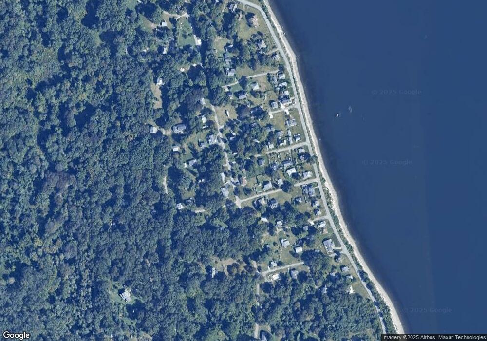
Map
Nearby Homes
- 125 Homestead Ave
- 0 Governor Paine Rd
- 33 Alden Ave
- 272 Carnegie Harbor Dr
- 178 Carnegie Harbor Dr
- 1 Tower Dr Unit 1106
- 1 Tower Dr Unit 1203
- 1 Tower Dr Unit 302
- 1 Tower Dr Unit 101
- 1 Tower Dr Unit 1806
- 1 Tower Dr Unit 406
- 1 Tower Dr Unit 1201
- 59 Carnegie Harbor Dr
- 4 Lookout Ln Unit 1
- 4 Lookout Ln
- 12 Lookout Ln
- 12 Lookout Ln Unit 3
- 0 Willow Ln Unit Leeward A
- 0 Willow Ln Unit Leeward B
- 44 Wimbledon Cir
- 075 Holbrook Ave
- 21 Holbrook Ave
- 0 Holbrook Ave Unit 632821
- 0 Holbrook Ave Unit 618645
- 0 Holbrook Ave Unit 501407
- 0 Holbrook Ave Unit 1364901
- 0 Holbrook Ave Unit 1316212
- 0 Holbrook Ave Unit 981244
- 0 Holbrook Ave Unit 1068979
- 0 Holbrook Ave Unit 1154408
- 0 Holbrook Ave Unit 131622
- 18 Madison Ave
- 14 Holbrook Ave
- 1024 Narragansett Ave
- 0 Holbrook Av (Prud Isl)
- 0 Holbrook Rd Unit 1014689
- 1042 Narragansett Ave
- 22 Holbrook Ave
- 1020 Narragansett Ave
- 25 Holbrook Ave