11 Little Ln Dunbarton, NH 03046
Estimated Value: $578,864 - $627,000
3
Beds
2
Baths
1,792
Sq Ft
$337/Sq Ft
Est. Value
About This Home
This home is located at 11 Little Ln, Dunbarton, NH 03046 and is currently estimated at $604,716, approximately $337 per square foot. 11 Little Ln is a home located in Merrimack County with nearby schools including Dunbarton Elementary School, Bow Memorial School, and Bow High School.
Ownership History
Date
Name
Owned For
Owner Type
Purchase Details
Closed on
Feb 16, 2000
Sold by
Proulx Dennis P
Bought by
Shedd Michael R and Shedd Caryn C
Current Estimated Value
Home Financials for this Owner
Home Financials are based on the most recent Mortgage that was taken out on this home.
Original Mortgage
$129,920
Outstanding Balance
$42,791
Interest Rate
8.11%
Estimated Equity
$561,925
Create a Home Valuation Report for This Property
The Home Valuation Report is an in-depth analysis detailing your home's value as well as a comparison with similar homes in the area
Home Values in the Area
Average Home Value in this Area
Purchase History
| Date | Buyer | Sale Price | Title Company |
|---|---|---|---|
| Shedd Michael R | $162,400 | -- |
Source: Public Records
Mortgage History
| Date | Status | Borrower | Loan Amount |
|---|---|---|---|
| Open | Shedd Michael R | $129,920 |
Source: Public Records
Tax History Compared to Growth
Tax History
| Year | Tax Paid | Tax Assessment Tax Assessment Total Assessment is a certain percentage of the fair market value that is determined by local assessors to be the total taxable value of land and additions on the property. | Land | Improvement |
|---|---|---|---|---|
| 2024 | $7,587 | $287,600 | $87,000 | $200,600 |
| 2023 | $7,354 | $287,600 | $87,000 | $200,600 |
| 2022 | $6,609 | $287,600 | $87,000 | $200,600 |
| 2021 | $6,609 | $282,300 | $87,000 | $195,300 |
| 2020 | $6,290 | $282,300 | $87,000 | $195,300 |
| 2018 | $5,146 | $228,400 | $70,900 | $157,500 |
| 2017 | $5,849 | $228,400 | $70,900 | $157,500 |
| 2016 | $5,477 | $228,400 | $70,900 | $157,500 |
| 2015 | $5,388 | $228,400 | $70,900 | $157,500 |
| 2014 | $4,924 | $232,900 | $70,900 | $162,000 |
| 2013 | $4,893 | $232,900 | $70,900 | $162,000 |
Source: Public Records
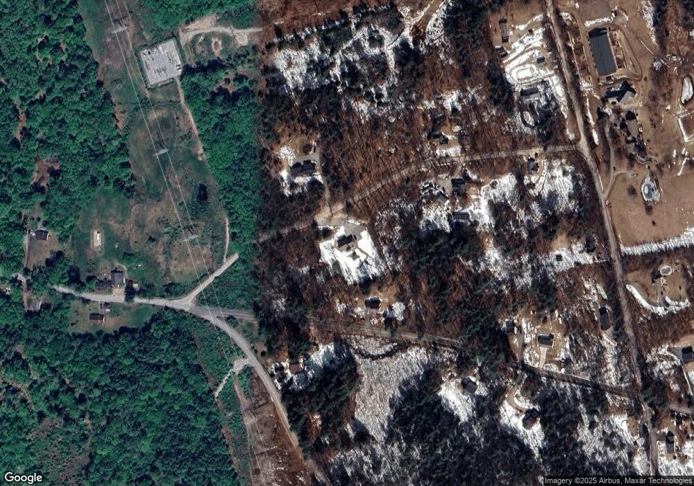
Map
Nearby Homes
- 602 Black Brook Rd
- 30 Horizon Dr
- 45 Range Rd
- 0 Fairway Dr Unit 11
- 22 Fairway Dr
- 78 Rangeway Rd
- 10 Serenitas Ln
- 22 Winter Hill Rd
- 227 Twist Hill Rd
- 22 Peppermint St
- 3 Stephanie Rd
- 88 Saunders Rd
- 500 E Dunbarton Rd
- 2 Larch St Unit 1
- 137 Elm St
- 12 Maplewood Ave
- 99 Elm St
- 328 E Dunbarton Rd
- 501 E Dunbarton Rd
- 13 S Bow Dunbarton Rd
- 698 Black Brook Rd
- 10 Little Ln
- 19 Little Ln
- 526 Tibbetts Hill Rd
- 18 Little Ln
- 520 Tibbetts Hill Rd
- 676 Black Brook Rd
- 679 Black Brook Rd
- 23 Little Ln
- 219 Kimball Pond Rd
- 674 Black Brook Rd
- 24 Little Ln
- 1220 Black Brook Rd
- 673 Black Brook Rd
- 1221 Black Brook Rd
- 57 Snow Rd
- 502 Tibbetts Hill Rd
- 199 Kimball Pond Rd
- 210 Kimball Pond Rd
- 1210 Black Brook Rd