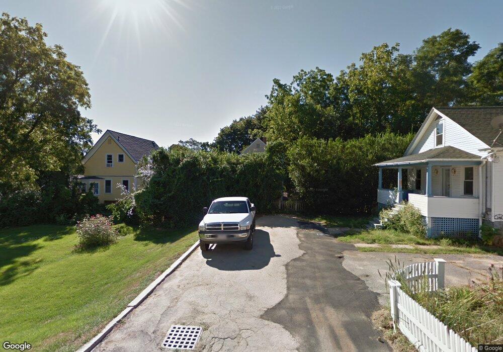
11 Osgood Place Amesbury, MA 01913
Estimated Value: $543,862 - $646,000
3
Beds
1
Bath
1,046
Sq Ft
$563/Sq Ft
Est. Value
About This Home
This home is located at 11 Osgood Place, Amesbury, MA 01913 and is currently estimated at $588,466, approximately $562 per square foot. 11 Osgood Place is a home located in Essex County with nearby schools including Amesbury High School and Amesbury Seventh-Day Adventist School.
Ownership History
Date
Name
Owned For
Owner Type
Purchase Details
Closed on
Jun 19, 1998
Sold by
Foley Jeremiah F Est
Bought by
Burt Christopher M and Burt Melissa A
Current Estimated Value
Create a Home Valuation Report for This Property
The Home Valuation Report is an in-depth analysis detailing your home's value as well as a comparison with similar homes in the area
Home Values in the Area
Average Home Value in this Area
Purchase History
| Date | Buyer | Sale Price | Title Company |
|---|---|---|---|
| Burt Christopher M | $122,000 | -- |
Source: Public Records
Mortgage History
| Date | Status | Borrower | Loan Amount |
|---|---|---|---|
| Open | Burt Christopher M | $166,200 | |
| Closed | Burt Christopher M | $160,000 | |
| Closed | Burt Christopher M | $156,250 | |
| Closed | Burt Christopher M | $145,000 |
Source: Public Records
Tax History Compared to Growth
Tax History
| Year | Tax Paid | Tax Assessment Tax Assessment Total Assessment is a certain percentage of the fair market value that is determined by local assessors to be the total taxable value of land and additions on the property. | Land | Improvement |
|---|---|---|---|---|
| 2025 | $7,290 | $476,500 | $227,000 | $249,500 |
| 2024 | $6,907 | $441,600 | $214,100 | $227,500 |
| 2023 | $6,760 | $413,700 | $186,200 | $227,500 |
| 2022 | $6,209 | $351,000 | $162,000 | $189,000 |
| 2021 | $5,758 | $315,500 | $125,000 | $190,500 |
| 2020 | $5,082 | $295,800 | $120,200 | $175,600 |
| 2019 | $5,114 | $278,400 | $120,200 | $158,200 |
| 2018 | $4,943 | $260,300 | $114,400 | $145,900 |
| 2017 | $4,786 | $239,900 | $114,400 | $125,500 |
| 2016 | $4,762 | $234,800 | $114,400 | $120,400 |
| 2015 | $4,697 | $228,700 | $114,400 | $114,300 |
| 2014 | $4,559 | $217,400 | $114,400 | $103,000 |
Source: Public Records
Map
Nearby Homes
- 4 Larnard Ct
- 93 Friend St
- 43 Aubin St Unit 43
- 4 Greenwood St
- 18 E Greenwood St
- 37 Millyard Unit 204
- 49 W Greenwood St
- 13 High St Unit 2
- 4 Winter St
- 31 Whitter Meadows Dr Unit 31
- 4 Clark St
- 5 Richs Ct Unit 3
- 48 Orchard St
- 97 Elm St
- 118 Elm St
- 25 Cedar St Unit 4
- 25 Cedar St Unit 14
- 25 Cedar St Unit 7
- 161 Elm St Unit A
- 3 Arlington St
- 5 Larnard Ct
- 9 Osgood Place
- 3 Larnard Ct
- 12 Osgood Place
- 15 Sparhawk St Unit 4
- 15 Sparhawk St Unit 1
- 22 Lincoln Ct
- 10 Osgood Place
- 34 Sparhawk St
- 34 Sparhawk St Unit 2
- 32 Sparhawk St
- 15 Lincoln Ct
- 20 Lincoln Ct
- 17 Mechanics Row
- 16 Lincoln Ct
- 16 Lincoln Ct Unit 16,1
- 11 Mechanics Row
- 5 Osgood Place Unit D
- 5 Osgood Place Unit C
- 5 Osgood Place Unit B