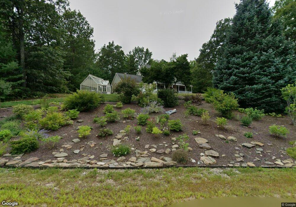
11 Stonewall Dr Milford, NH 03055
Estimated Value: $641,223 - $709,000
4
Beds
3
Baths
2,252
Sq Ft
$296/Sq Ft
Est. Value
About This Home
This home is located at 11 Stonewall Dr, Milford, NH 03055 and is currently estimated at $666,556, approximately $295 per square foot. 11 Stonewall Dr is a home with nearby schools including Jacques Memorial Elementary School, Heron Pond Elementary School, and Milford Middle School.
Ownership History
Date
Name
Owned For
Owner Type
Purchase Details
Closed on
May 15, 2000
Sold by
Asselin Brothers Const
Bought by
Hull Dean W
Current Estimated Value
Home Financials for this Owner
Home Financials are based on the most recent Mortgage that was taken out on this home.
Original Mortgage
$177,200
Outstanding Balance
$61,526
Interest Rate
8.21%
Estimated Equity
$605,030
Create a Home Valuation Report for This Property
The Home Valuation Report is an in-depth analysis detailing your home's value as well as a comparison with similar homes in the area
Home Values in the Area
Average Home Value in this Area
Purchase History
| Date | Buyer | Sale Price | Title Company |
|---|---|---|---|
| Hull Dean W | $221,500 | -- |
Source: Public Records
Mortgage History
| Date | Status | Borrower | Loan Amount |
|---|---|---|---|
| Open | Hull Dean W | $177,200 |
Source: Public Records
Tax History Compared to Growth
Tax History
| Year | Tax Paid | Tax Assessment Tax Assessment Total Assessment is a certain percentage of the fair market value that is determined by local assessors to be the total taxable value of land and additions on the property. | Land | Improvement |
|---|---|---|---|---|
| 2024 | $9,575 | $404,500 | $84,100 | $320,400 |
| 2023 | $8,968 | $404,500 | $84,100 | $320,400 |
| 2022 | $8,410 | $404,500 | $84,100 | $320,400 |
| 2021 | $8,151 | $404,500 | $84,100 | $320,400 |
| 2020 | $8,912 | $351,300 | $67,600 | $283,700 |
| 2019 | $9,123 | $351,300 | $67,600 | $283,700 |
| 2018 | $8,708 | $297,900 | $67,600 | $230,300 |
| 2017 | $8,755 | $297,900 | $67,600 | $230,300 |
| 2016 | $8,627 | $297,900 | $67,600 | $230,300 |
| 2015 | $8,237 | $288,400 | $67,600 | $220,800 |
| 2014 | $7,873 | $288,400 | $67,600 | $220,800 |
| 2013 | $7,778 | $288,400 | $67,600 | $220,800 |
Source: Public Records
Map
Nearby Homes
- 126 Boynton Hill Rd
- 119 Boynton Hill Rd
- 301 Mile Slip Rd
- 415 Savage Rd
- 131 Badger Hill Dr
- 81 Badger Hill Dr
- 88 Noons Quarry Rd
- 0 Ball Hill Rd
- Lot F-88-9 Aria Hill Dr
- F-88-7 Aria Hill Dr
- F-88-12 Aria Hill Dr
- F-88-11 Aria Hill Dr
- F-88-10 Aria Hill Dr
- 26 Melendy Rd Unit 97
- 32 Larch Rd
- 00 Ruonala Rd
- 545 Elm St Unit 34
- 0 Briar Cliff Dr
- 344 Elm St Unit 16
- 18 Richfield Way
- 5 Stonewall Dr
- 50 Mile Slip Rd
- 21 Stonewall Dr
- 12 Stonewall Dr
- 18 Stonewall Dr
- 54 Mile Slip Rd
- 4 Stonewall Dr
- 6 Stonewall Dr
- 8 Stonewall Dr
- 59 Mile Slip Rd
- 462 Mason Rd
- 6 Mile Slip Rd
- 69 Mile Slip Rd
- 69 Mile Slip Rd Unit Road
- 7 Mile Slip Rd
- 508 Mason Rd
- 474 Mason Rd
- 122 Mile Slip Rd
- 510 Mason Rd
- 113 Mile Slip Rd