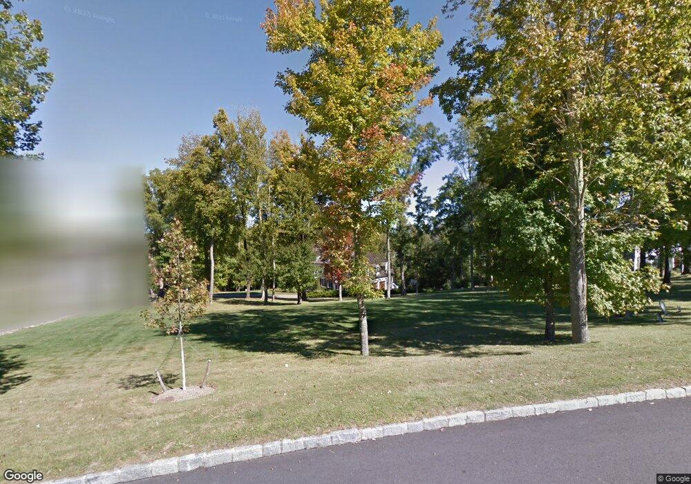
11 Thornbrook Ln Bedford, NY 10506
Estimated Value: $2,241,692 - $3,280,000
--
Bed
--
Bath
--
Sq Ft
3.46
Acres
About This Home
This home is located at 11 Thornbrook Ln, Bedford, NY 10506 and is currently estimated at $2,595,673. 11 Thornbrook Ln is a home located in Westchester County with nearby schools including Bedford Village Elementary School, Fox Lane Middle School, and Fox Lane High School.
Ownership History
Date
Name
Owned For
Owner Type
Purchase Details
Closed on
May 4, 2006
Sold by
Lockwood Llc
Bought by
Kager William R and Kager Lauren
Current Estimated Value
Home Financials for this Owner
Home Financials are based on the most recent Mortgage that was taken out on this home.
Original Mortgage
$1,798,000
Interest Rate
6.42%
Mortgage Type
Purchase Money Mortgage
Purchase Details
Closed on
Oct 26, 2004
Sold by
Thornbrook Developers Llc
Bought by
Lockwood Llc
Create a Home Valuation Report for This Property
The Home Valuation Report is an in-depth analysis detailing your home's value as well as a comparison with similar homes in the area
Home Values in the Area
Average Home Value in this Area
Purchase History
| Date | Buyer | Sale Price | Title Company |
|---|---|---|---|
| Kager William R | $2,256,492 | Future Title Company Inc | |
| Lockwood Llc | $2,985,000 | -- |
Source: Public Records
Mortgage History
| Date | Status | Borrower | Loan Amount |
|---|---|---|---|
| Previous Owner | Kager William R | $1,798,000 |
Source: Public Records
Tax History Compared to Growth
Tax History
| Year | Tax Paid | Tax Assessment Tax Assessment Total Assessment is a certain percentage of the fair market value that is determined by local assessors to be the total taxable value of land and additions on the property. | Land | Improvement |
|---|---|---|---|---|
| 2024 | $48,767 | $203,500 | $29,400 | $174,100 |
| 2023 | $48,950 | $203,500 | $29,400 | $174,100 |
| 2022 | $46,349 | $203,500 | $29,400 | $174,100 |
| 2021 | $46,413 | $203,500 | $29,400 | $174,100 |
| 2020 | $44,000 | $203,500 | $29,400 | $174,100 |
| 2019 | $43,674 | $203,500 | $29,400 | $174,100 |
| 2018 | $41,938 | $203,500 | $29,400 | $174,100 |
| 2017 | $26,657 | $193,500 | $29,400 | $164,100 |
| 2016 | $40,712 | $193,500 | $29,400 | $164,100 |
| 2015 | -- | $193,500 | $29,400 | $164,100 |
| 2014 | -- | $193,500 | $29,400 | $164,100 |
| 2013 | -- | $193,500 | $29,400 | $164,100 |
Source: Public Records
Map
Nearby Homes
- 16 Millers Mill Rd
- 201 Long Ridge Rd
- 110 Oliver Rd
- 15 Cartway Ln E
- 147 Mianus River Rd
- 40 Baylis Ln
- 383 Pine Brook Rd
- 65 Hickory Ln
- 17 Great Hill Farms Rd
- 77 Pound Ridge Rd
- 4 Cedar Hill Rd
- 1 Pine Brook Rd
- 217 Greenwich Rd
- 110 the Farms Rd
- 440 Long Ridge Rd
- 325-361 Old Post Rd
- 713 Old Post Rd
- 56 Brook Farm Ln
- 23 Crusher Rd
- 9 Guion Ln
- 15 Thornbrook Ln
- 9 Thornbrook Ln
- 7 Thornbrook Ln
- 2 Thornbrook Ln
- 17 Thornbrook Ln
- 4 Thornbrook Ln
- 3 Thornbrook Ln
- 6 Thornbrook Ln
- 126 Middle Patent Rd
- 181 Middle Patent Rd
- 208 Middle Patent Rd
- 118 Middle Patent Rd
- 1 Little Town Ln
- 220 Middle Patent Rd
- 183 Long Ridge Rd
- 35 Millers Mill Rd
- 2 Kilborn Ln
- 47 Millers Mill Rd
- 15 Little Town Ln
- 169 Middle Patent Rd