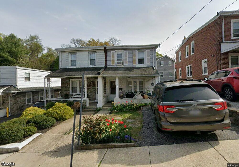
110 Ashland Ave Bala Cynwyd, PA 19004
Lower Merion NeighborhoodEstimated Value: $364,000 - $406,000
3
Beds
1
Bath
1,344
Sq Ft
$287/Sq Ft
Est. Value
About This Home
This home is located at 110 Ashland Ave, Bala Cynwyd, PA 19004 and is currently estimated at $385,875, approximately $287 per square foot. 110 Ashland Ave is a home located in Montgomery County with nearby schools including Belmont Hills El School, Welsh Valley Middle School, and Harriton Senior High School.
Ownership History
Date
Name
Owned For
Owner Type
Purchase Details
Closed on
Nov 18, 2009
Sold by
Baldwin Marion and Mcdonnell Diane M
Bought by
Morak Michael and Mastin Shannon
Current Estimated Value
Home Financials for this Owner
Home Financials are based on the most recent Mortgage that was taken out on this home.
Original Mortgage
$204,232
Outstanding Balance
$133,492
Interest Rate
5.02%
Estimated Equity
$252,383
Purchase Details
Closed on
Sep 25, 2003
Sold by
Baldwin Marion P and Baldwin Diane
Bought by
Baldwin Marion P
Create a Home Valuation Report for This Property
The Home Valuation Report is an in-depth analysis detailing your home's value as well as a comparison with similar homes in the area
Home Values in the Area
Average Home Value in this Area
Purchase History
| Date | Buyer | Sale Price | Title Company |
|---|---|---|---|
| Morak Michael | $208,000 | None Available | |
| Baldwin Marion P | -- | -- |
Source: Public Records
Mortgage History
| Date | Status | Borrower | Loan Amount |
|---|---|---|---|
| Open | Morak Michael | $204,232 |
Source: Public Records
Tax History Compared to Growth
Tax History
| Year | Tax Paid | Tax Assessment Tax Assessment Total Assessment is a certain percentage of the fair market value that is determined by local assessors to be the total taxable value of land and additions on the property. | Land | Improvement |
|---|---|---|---|---|
| 2025 | $4,427 | $106,020 | $29,740 | $76,280 |
| 2024 | $4,427 | $106,020 | $29,740 | $76,280 |
| 2023 | $4,242 | $106,020 | $29,740 | $76,280 |
| 2022 | $4,164 | $106,020 | $29,740 | $76,280 |
| 2021 | $4,070 | $106,020 | $29,740 | $76,280 |
| 2020 | $3,970 | $106,020 | $29,740 | $76,280 |
| 2019 | $3,900 | $106,020 | $29,740 | $76,280 |
| 2018 | $3,900 | $106,020 | $29,740 | $76,280 |
| 2017 | $3,757 | $106,020 | $29,740 | $76,280 |
| 2016 | $3,716 | $106,020 | $29,740 | $76,280 |
| 2015 | $3,464 | $106,020 | $29,740 | $76,280 |
| 2014 | $3,464 | $106,020 | $29,740 | $76,280 |
Source: Public Records
Map
Nearby Homes
- 17 Jefferson St
- 138 Rockland Ave
- 85 Price St
- 0 Penn Ave
- 4586 Riverside Way
- 4584 Riverside Way
- 205 Ebenezer Ave
- 195 Belmont Ave
- 201 Jefferson St
- 220 Jefferson St
- 2 Leverington Ave Unit 24
- 2 Leverington Ave Unit 21
- 4523 Riverside Way
- 42 Madison Ave Unit 272
- 317 Marywatersford Rd
- 236 Jefferson St
- 145 Wright St
- 4664 Canton St
- 4666 Canton St
- 4630 Umbria St
- 112 Ashland Ave
- 108 Ashland Ave
- 119 Springfield Ave
- 116 Ashland Ave
- 118 Ashland Ave
- 120 Ashland Ave
- 1 Price St
- 122 Ashland Ave
- 127 Springfield Ave
- 127 Springfield Ave Unit LOWER LEVEL
- 101 Ashland Ave Unit 2ND FR
- 101 Ashland Ave Unit 352
- 124 Ashland Ave
- 9 Price St
- 97 Ashland Ave
- 108 Springfield Ave
- 118 Springfield Ave
- 105 Ashland Ave
- 122 Springfield Ave
- 126 Ashland Ave