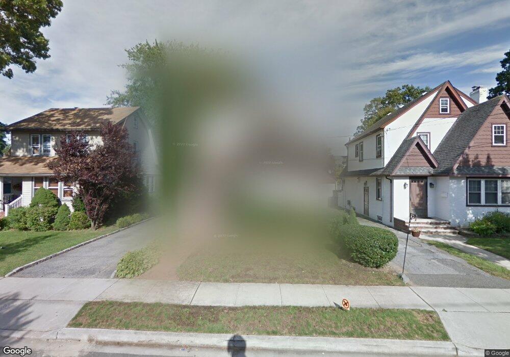
110 Edmund St Lynbrook, NY 11563
Estimated Value: $701,000 - $768,992
--
Bed
2
Baths
1,675
Sq Ft
$439/Sq Ft
Est. Value
About This Home
This home is located at 110 Edmund St, Lynbrook, NY 11563 and is currently estimated at $734,996, approximately $438 per square foot. 110 Edmund St is a home located in Nassau County with nearby schools including Davison Avenue Intermediate School, Maurice W. Downing Primary K-2 School, and Howard T Herber Middle School.
Ownership History
Date
Name
Owned For
Owner Type
Purchase Details
Closed on
Jan 10, 2009
Sold by
Mckenna Suzanne and Mckenna Carol J
Bought by
Umowski Frank and Umowski Camille
Current Estimated Value
Home Financials for this Owner
Home Financials are based on the most recent Mortgage that was taken out on this home.
Original Mortgage
$260,000
Interest Rate
5.06%
Mortgage Type
Purchase Money Mortgage
Purchase Details
Closed on
Aug 28, 1995
Sold by
Giannone William and Giannone Joan
Bought by
Mckenna Carol
Create a Home Valuation Report for This Property
The Home Valuation Report is an in-depth analysis detailing your home's value as well as a comparison with similar homes in the area
Home Values in the Area
Average Home Value in this Area
Purchase History
| Date | Buyer | Sale Price | Title Company |
|---|---|---|---|
| Umowski Frank | $325,000 | -- | |
| Mckenna Carol | $191,000 | -- |
Source: Public Records
Mortgage History
| Date | Status | Borrower | Loan Amount |
|---|---|---|---|
| Previous Owner | Umowski Frank | $260,000 |
Source: Public Records
Tax History Compared to Growth
Tax History
| Year | Tax Paid | Tax Assessment Tax Assessment Total Assessment is a certain percentage of the fair market value that is determined by local assessors to be the total taxable value of land and additions on the property. | Land | Improvement |
|---|---|---|---|---|
| 2025 | $9,884 | $499 | $188 | $311 |
| 2024 | $998 | $471 | $176 | $295 |
| 2023 | $8,334 | $506 | $188 | $318 |
| 2022 | $8,334 | $504 | $188 | $316 |
| 2021 | $11,308 | $491 | $183 | $308 |
| 2020 | $7,436 | $525 | $363 | $162 |
| 2019 | $6,375 | $563 | $365 | $198 |
| 2018 | $6,360 | $600 | $0 | $0 |
| 2017 | $5,676 | $638 | $355 | $283 |
| 2016 | $6,599 | $676 | $376 | $300 |
| 2015 | $1,039 | $700 | $369 | $331 |
| 2014 | $1,039 | $700 | $369 | $331 |
| 2013 | $954 | $700 | $369 | $331 |
Source: Public Records
Map
Nearby Homes
- 114 Edmund St
- 106 Edmund St
- 102 Edmund St
- 49 Driving Park Ave
- 118 Edmund St
- 53 Driving Park Ave
- 100 Edmund St
- 121 Christabel St
- 125 Christabel St
- 59 Driving Park Ave
- 117 Christabel St
- 39 Driving Park Ave
- 113 Christabel St
- 109 Edmund St
- 113 Edmund St
- 63 Driving Park Ave
- 105 Edmund St
- 29 Lawrence Ave
- 27 Lawrence Ave
- 33 Lawrence Ave