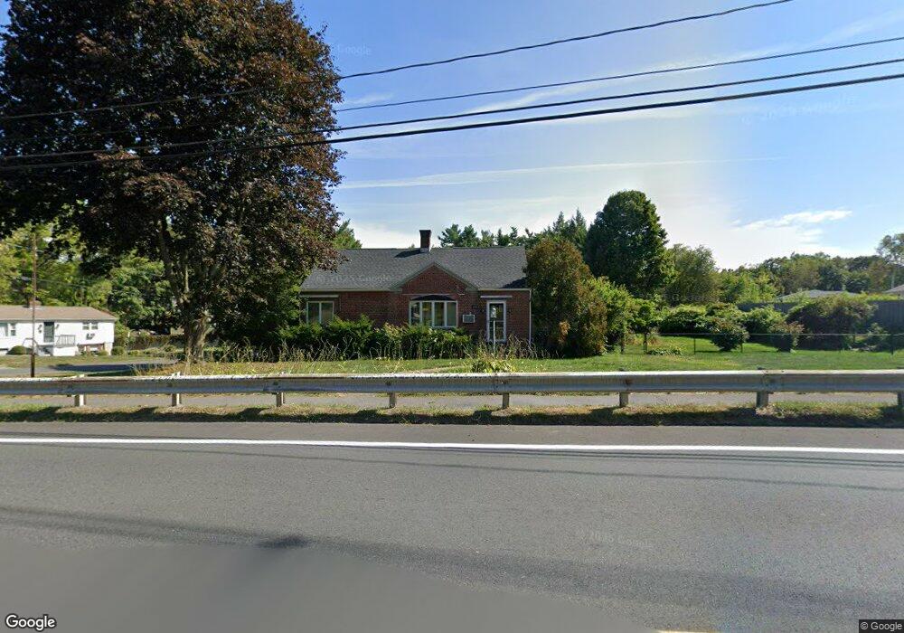
110 Homestead Ave Holyoke, MA 01040
Estimated Value: $361,668 - $464,000
2
Beds
3
Baths
1,605
Sq Ft
$245/Sq Ft
Est. Value
About This Home
This home is located at 110 Homestead Ave, Holyoke, MA 01040 and is currently estimated at $393,417, approximately $245 per square foot. 110 Homestead Ave is a home located in Hampden County with nearby schools including Harriet Bishop Elementary School, Lt. Elmer J. McMahon Elementary School, and Holyoke High School.
Ownership History
Date
Name
Owned For
Owner Type
Purchase Details
Closed on
Sep 4, 2015
Sold by
Geraldine Gabrysz Ret and Syniec
Bought by
Kiepke Kyle and Kiepke Wendy
Current Estimated Value
Home Financials for this Owner
Home Financials are based on the most recent Mortgage that was taken out on this home.
Original Mortgage
$142,100
Outstanding Balance
$55,153
Interest Rate
3.22%
Mortgage Type
VA
Estimated Equity
$338,264
Purchase Details
Closed on
Apr 23, 2015
Sold by
Gabrysz Geraldine
Bought by
Geraldine Gabrysz Ret and Syniec
Create a Home Valuation Report for This Property
The Home Valuation Report is an in-depth analysis detailing your home's value as well as a comparison with similar homes in the area
Home Values in the Area
Average Home Value in this Area
Purchase History
| Date | Buyer | Sale Price | Title Company |
|---|---|---|---|
| Kiepke Kyle | $161,000 | -- | |
| Geraldine Gabrysz Ret | -- | -- |
Source: Public Records
Mortgage History
| Date | Status | Borrower | Loan Amount |
|---|---|---|---|
| Open | Kiepke Kyle | $142,100 |
Source: Public Records
Tax History Compared to Growth
Tax History
| Year | Tax Paid | Tax Assessment Tax Assessment Total Assessment is a certain percentage of the fair market value that is determined by local assessors to be the total taxable value of land and additions on the property. | Land | Improvement |
|---|---|---|---|---|
| 2025 | $5,992 | $343,200 | $62,000 | $281,200 |
| 2024 | $5,605 | $295,800 | $59,100 | $236,700 |
| 2023 | $5,354 | $285,400 | $59,100 | $226,300 |
| 2022 | $5,137 | $266,700 | $59,100 | $207,600 |
| 2021 | $4,879 | $253,200 | $56,500 | $196,700 |
| 2020 | $4,552 | $238,600 | $56,500 | $182,100 |
| 2019 | $4,533 | $235,000 | $56,500 | $178,500 |
| 2018 | $6,002 | $225,700 | $56,500 | $169,200 |
| 2017 | $3,602 | $187,900 | $56,500 | $131,400 |
| 2016 | $3,541 | $185,200 | $58,300 | $126,900 |
| 2015 | $3,526 | $185,200 | $58,300 | $126,900 |
Source: Public Records
Map
Nearby Homes
- 34 Maple Crest Cir Unit B
- 33 Maple Crest Cir Unit D
- 15 Maple Crest Cir Unit D
- 43 King St
- 46 Cherry Hill
- 42 Arnodale Ave
- 70-72 Westfield Rd
- 78 Calumet Rd
- 1793 Northampton St
- 84 Woodland St
- 1705-1707 Northampton St
- 15 Chapman Ave
- 1678 Northampton St
- 13 Willow St
- 69 Gates St
- 23 Scott Hollow Dr
- 268-270 Sargeant St
- Lot A Homestead Ave
- 104 Saint James Ave
- 133-135 Brown Ave
- 8 Nicholls Dr
- 106 Homestead Ave
- 130 Homestead Ave
- 207 Fairmont St
- 14 Nicholls Dr
- 202 Fairmont St
- 203 Fairmont St
- 102 Homestead Ave
- 123 Homestead Ave
- 93 Homestead Ave
- 193 Fairmont St
- 142 Homestead Ave
- 5 Mowry Ave
- 20 Nicholls Dr
- 90 Homestead Ave
- 7 Nicholls Dr
- 241 Fairview St
- 152 Homestead Ave
- 145 Homestead Ave
- 4 Humeston Slope