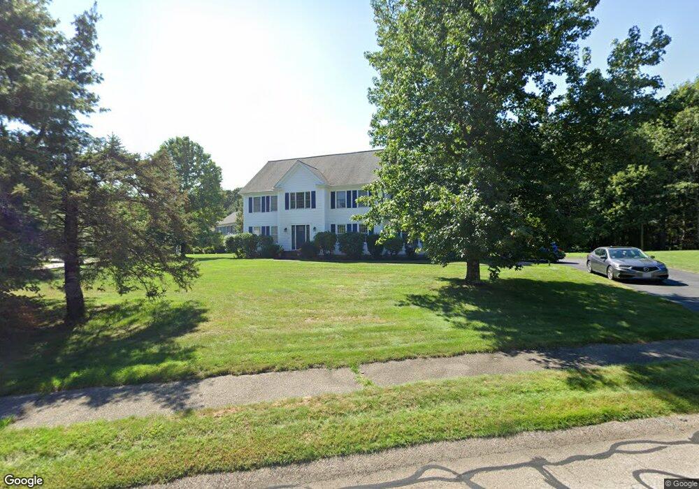
110 Laurie Ln Wrentham, MA 02093
Estimated Value: $936,029 - $1,274,000
5
Beds
3
Baths
2,915
Sq Ft
$361/Sq Ft
Est. Value
About This Home
This home is located at 110 Laurie Ln, Wrentham, MA 02093 and is currently estimated at $1,051,257, approximately $360 per square foot. 110 Laurie Ln is a home located in Norfolk County with nearby schools including Delaney Elementary School and Charles E Roderick.
Ownership History
Date
Name
Owned For
Owner Type
Purchase Details
Closed on
May 22, 1992
Sold by
Colwell Tr Calvin W and Colwell Tr Scott W
Bought by
Maker Paul M and Maker Fiona P
Current Estimated Value
Home Financials for this Owner
Home Financials are based on the most recent Mortgage that was taken out on this home.
Original Mortgage
$50,000
Interest Rate
8.77%
Mortgage Type
Purchase Money Mortgage
Create a Home Valuation Report for This Property
The Home Valuation Report is an in-depth analysis detailing your home's value as well as a comparison with similar homes in the area
Home Values in the Area
Average Home Value in this Area
Purchase History
| Date | Buyer | Sale Price | Title Company |
|---|---|---|---|
| Maker Paul M | $248,900 | -- |
Source: Public Records
Mortgage History
| Date | Status | Borrower | Loan Amount |
|---|---|---|---|
| Closed | Maker Paul M | $50,000 |
Source: Public Records
Tax History Compared to Growth
Tax History
| Year | Tax Paid | Tax Assessment Tax Assessment Total Assessment is a certain percentage of the fair market value that is determined by local assessors to be the total taxable value of land and additions on the property. | Land | Improvement |
|---|---|---|---|---|
| 2025 | $9,468 | $816,900 | $321,400 | $495,500 |
| 2024 | $9,152 | $762,700 | $321,400 | $441,300 |
| 2023 | $9,141 | $724,300 | $292,300 | $432,000 |
| 2022 | $7,942 | $581,000 | $224,900 | $356,100 |
| 2021 | $7,930 | $563,600 | $235,600 | $328,000 |
| 2020 | $8,044 | $564,500 | $212,600 | $351,900 |
| 2019 | $7,746 | $548,600 | $212,600 | $336,000 |
| 2018 | $7,527 | $528,600 | $212,700 | $315,900 |
| 2017 | $7,379 | $517,800 | $208,600 | $309,200 |
| 2016 | $7,224 | $505,900 | $202,600 | $303,300 |
| 2015 | $6,973 | $465,500 | $179,700 | $285,800 |
| 2014 | $7,044 | $460,100 | $172,900 | $287,200 |
Source: Public Records
Map
Nearby Homes
- 570 Franklin St
- 50 Reed Fulton Ave Unit Lot 61
- 131 Creek St Unit 7
- 45 Joshua Rd
- 10 Nature View Dr
- 15 Nature View Dr
- 11 Earle Stewart Ln
- Lot 3 - 14 Earle Stewart Ln
- 246 Forest Grove Ave
- Lot 1 - Blueberry 2 Car Plan at King Philip Estates
- Lot 8 - Blueberry 2 Car Plan at King Philip Estates
- Lot 5 - Hughes 2 car Plan at King Philip Estates
- Lot 6 - Blueberry 3 Car Plan at King Philip Estates
- Lot 2 - Camden 2 Car Plan at King Philip Estates
- Lot 7 - Cedar Plan at King Philip Estates
- Lot 4 - Hemingway 2 Car Plan at King Philip Estates
- Lot 3 - Blueberry 2 Car Plan at King Philip Estates
- 12 Waites Crossing Way
- 11 Elliot Mills Unit 11
- 270 Dedham St