110 Lincoln Rd Lincoln, MA 01773
Estimated Value: $1,311,000 - $1,808,000
3
Beds
2
Baths
3,053
Sq Ft
$499/Sq Ft
Est. Value
About This Home
This home is located at 110 Lincoln Rd, Lincoln, MA 01773 and is currently estimated at $1,522,012, approximately $498 per square foot. 110 Lincoln Rd is a home located in Middlesex County with nearby schools including Lincoln-Sudbury Regional High School and Tremont School.
Ownership History
Date
Name
Owned For
Owner Type
Purchase Details
Closed on
Dec 15, 2020
Sold by
Fillios-Billings Despena
Bought by
D Fillios Billings Ret
Current Estimated Value
Purchase Details
Closed on
Mar 9, 2018
Sold by
Billings Thomas P and Fillios-Billings Despena
Bought by
Fillios-Billings Despena
Purchase Details
Closed on
Aug 19, 1983
Bought by
Billings Despena and Billings Thomas P
Create a Home Valuation Report for This Property
The Home Valuation Report is an in-depth analysis detailing your home's value as well as a comparison with similar homes in the area
Home Values in the Area
Average Home Value in this Area
Purchase History
| Date | Buyer | Sale Price | Title Company |
|---|---|---|---|
| D Fillios Billings Ret | -- | None Available | |
| Fillios-Billings Despena | -- | -- | |
| Billings Despena | $170,500 | -- |
Source: Public Records
Mortgage History
| Date | Status | Borrower | Loan Amount |
|---|---|---|---|
| Previous Owner | Billings Despena | $115,000 | |
| Previous Owner | Billings Despena | $127,000 |
Source: Public Records
Tax History Compared to Growth
Tax History
| Year | Tax Paid | Tax Assessment Tax Assessment Total Assessment is a certain percentage of the fair market value that is determined by local assessors to be the total taxable value of land and additions on the property. | Land | Improvement |
|---|---|---|---|---|
| 2025 | $177 | $1,380,800 | $936,800 | $444,000 |
| 2024 | $17,471 | $1,355,400 | $917,500 | $437,900 |
| 2023 | $16,430 | $1,180,300 | $745,500 | $434,800 |
| 2022 | $16,151 | $1,081,800 | $690,300 | $391,500 |
| 2021 | $15,992 | $1,030,400 | $645,500 | $384,900 |
| 2020 | $16,146 | $1,051,200 | $669,500 | $381,700 |
| 2019 | $13,448 | $958,500 | $651,900 | $306,600 |
| 2018 | $13,036 | $958,500 | $651,900 | $306,600 |
| 2017 | $12,911 | $942,400 | $645,500 | $296,900 |
| 2016 | $12,848 | $918,400 | $627,100 | $291,300 |
| 2015 | $12,299 | $869,200 | $580,700 | $288,500 |
| 2014 | $11,675 | $810,200 | $541,500 | $268,700 |
Source: Public Records
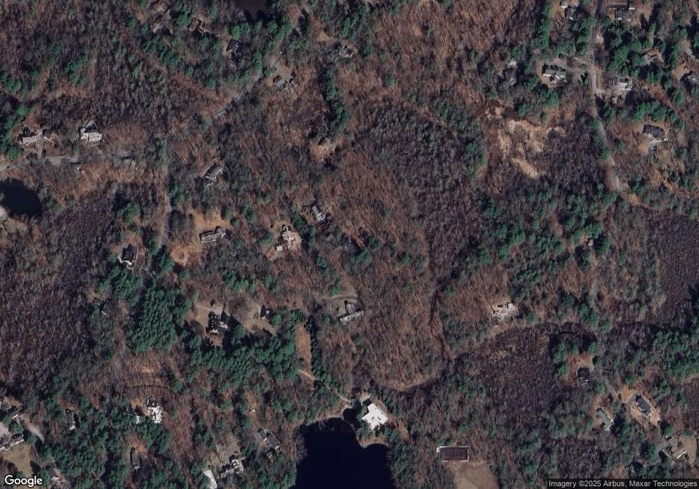
Map
Nearby Homes
- 130 Tower Rd
- 22 Lincoln Rd
- 44 Baker Bridge Rd
- 60 Baker Bridge Rd
- 19 Conant Rd
- 152 S Great Rd
- 12 Laurel Dr
- 3 Clifford Ln
- 6 Clifford Ln
- 244 Lincoln Rd
- 93 Old Sudbury Rd
- 33 Old Concord Rd
- 75 Westland Rd
- 5 Peakes Ln
- 426 Conant Rd
- 416 Conant Rd
- 121 Cherry Brook Rd
- 8 Stratford Way
- 51 Willard Rd
- 9 Garland Rd
- 108 Lincoln Rd
- 10 Meadowdam Rd
- 14 Meadowdam Rd
- 102 Lincoln Rd
- 8 Todd Pond Rd
- 14 Todd Pond Rd
- 4 Todd Pond Rd
- 4 Todd Pond Rd Unit 4
- 4 Todd Pond Rd Unit n/a
- 16 Todd Pond Rd
- 104 Lincoln Rd
- 100 Lincoln Rd
- 18 Todd Pond Rd
- 7 Todd Pond Rd
- 97 Lincoln Rd
- 59 Tower Rd
- 116 Lincoln Rd
- 15 Todd Pond Rd
- 94 Lincoln Rd
- 22 Todd Pond Rd