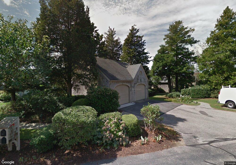
110 Ships Watch Falmouth, MA 02540
Falmouth Village NeighborhoodEstimated Value: $888,000 - $1,115,000
3
Beds
4
Baths
1,880
Sq Ft
$513/Sq Ft
Est. Value
About This Home
This home is located at 110 Ships Watch, Falmouth, MA 02540 and is currently estimated at $964,117, approximately $512 per square foot. 110 Ships Watch is a home located in Barnstable County with nearby schools including Mullen-Hall School, Lawrence School, and Morse Pond School.
Ownership History
Date
Name
Owned For
Owner Type
Purchase Details
Closed on
Oct 12, 2007
Sold by
Bentley Tree Tops Rt
Bought by
Harvard Higgins Rt
Current Estimated Value
Home Financials for this Owner
Home Financials are based on the most recent Mortgage that was taken out on this home.
Original Mortgage
$417,000
Interest Rate
6.49%
Mortgage Type
Purchase Money Mortgage
Purchase Details
Closed on
Jun 29, 1999
Sold by
Daniel F Reagan Ret and Kirtland Sarah
Bought by
Bentley Treetops Rt and Bentley Nina
Create a Home Valuation Report for This Property
The Home Valuation Report is an in-depth analysis detailing your home's value as well as a comparison with similar homes in the area
Home Values in the Area
Average Home Value in this Area
Purchase History
| Date | Buyer | Sale Price | Title Company |
|---|---|---|---|
| Harvard Higgins Rt | $599,999 | -- | |
| Bentley Treetops Rt | $345,000 | -- |
Source: Public Records
Mortgage History
| Date | Status | Borrower | Loan Amount |
|---|---|---|---|
| Open | Bentley Treetops Rt | $400,000 | |
| Closed | Harvard Higgins Rt | $417,000 |
Source: Public Records
Tax History Compared to Growth
Tax History
| Year | Tax Paid | Tax Assessment Tax Assessment Total Assessment is a certain percentage of the fair market value that is determined by local assessors to be the total taxable value of land and additions on the property. | Land | Improvement |
|---|---|---|---|---|
| 2025 | $4,995 | $850,900 | $0 | $850,900 |
| 2024 | $4,638 | $738,600 | $0 | $738,600 |
| 2023 | $4,787 | $691,700 | $0 | $691,700 |
| 2022 | $5,268 | $654,400 | $0 | $654,400 |
| 2021 | $4,674 | $549,900 | $0 | $549,900 |
| 2020 | $4,724 | $549,900 | $0 | $549,900 |
| 2019 | $4,853 | $566,900 | $0 | $566,900 |
| 2018 | $4,690 | $545,400 | $0 | $545,400 |
| 2017 | $4,653 | $545,500 | $0 | $545,500 |
| 2016 | $4,721 | $564,000 | $0 | $564,000 |
| 2015 | $4,619 | $564,000 | $0 | $564,000 |
| 2014 | $3,913 | $480,100 | $0 | $480,100 |
Source: Public Records
Map
Nearby Homes
- 38 Landfall Unit 38
- 38 Landfall
- 251 Woods Hole Rd
- 87 Oyster Pond Rd
- 44 Carey Ln
- 15 Hedge Ln
- 45 Haynes Ave
- 27 Upland Ave
- 71 Main St
- 65 Walker St
- 98 Main St
- 98 Main St Unit 1
- 30 Katherine Lee Bates Rd
- 33 Oakwood Ave
- 76 F r Lillie Rd
- 29 Wilson Rd
- 480 Main St Unit 1
- 10 Shanks Pond Rd
- 110 Dillingham Ave Unit 322
- 253 Scranton Ave
- 112 Ships Watch
- 114 Ships Watch
- 116 Ships Watch
- 110 Ships Watch Unit 110
- 110 Ships Watch Unit 14-4
- 112 Ships Watch Unit 143U
- 114 Ships Watch Unit 142
- 118 Ships Watch
- 124 Ships Watch
- 94 Ships Watch
- 84 Ships Watch
- 92 Ships Watch
- 70 Landfall
- 14 Landfall
- 10 Landfall
- 10 Landfall Unit 10
- 14 Landfall Treetops Unit U-14
- 10 Landfall Unit 2-1
- 102 Ships Watch
- 104 Ships Watch