110 Whitfield Ln Shepherd, TX 77371
Estimated Value: $106,000 - $282,000
--
Bed
--
Bath
1,578
Sq Ft
$123/Sq Ft
Est. Value
About This Home
This home is located at 110 Whitfield Ln, Shepherd, TX 77371 and is currently estimated at $194,333, approximately $123 per square foot. 110 Whitfield Ln is a home with nearby schools including Shepherd Primary School, Shepherd Intermediate School, and Shepherd Middle School.
Ownership History
Date
Name
Owned For
Owner Type
Purchase Details
Closed on
Dec 3, 2021
Sold by
Jackson Taylor Belinda
Bought by
Darwent Robert and Darwent Kathleen
Current Estimated Value
Purchase Details
Closed on
Feb 3, 2021
Sold by
Averdieck Edward Paul
Bought by
West Christine Isabell
Purchase Details
Closed on
Jan 18, 2021
Sold by
Averdieck Edward Paul
Bought by
West Christine Isabell
Create a Home Valuation Report for This Property
The Home Valuation Report is an in-depth analysis detailing your home's value as well as a comparison with similar homes in the area
Home Values in the Area
Average Home Value in this Area
Purchase History
| Date | Buyer | Sale Price | Title Company |
|---|---|---|---|
| Darwent Robert | -- | None Listed On Document | |
| West Christine Isabell | -- | None Available | |
| West Christine Isabell | -- | None Available |
Source: Public Records
Tax History Compared to Growth
Tax History
| Year | Tax Paid | Tax Assessment Tax Assessment Total Assessment is a certain percentage of the fair market value that is determined by local assessors to be the total taxable value of land and additions on the property. | Land | Improvement |
|---|---|---|---|---|
| 2024 | $1,022 | $75,168 | -- | -- |
| 2023 | $1,022 | $62,640 | $62,640 | $0 |
| 2022 | $1,118 | $62,640 | $62,640 | $0 |
| 2021 | $1,287 | $64,780 | $50,950 | $13,830 |
| 2020 | $1,029 | $50,790 | $36,960 | $13,830 |
| 2019 | $1,043 | $50,750 | $36,960 | $13,790 |
| 2018 | $805 | $39,090 | $31,470 | $7,620 |
| 2017 | $712 | $34,490 | $26,870 | $7,620 |
| 2016 | $643 | $31,160 | $23,540 | $7,620 |
| 2015 | -- | $31,160 | $23,540 | $7,620 |
| 2014 | -- | $31,160 | $23,540 | $7,620 |
Source: Public Records
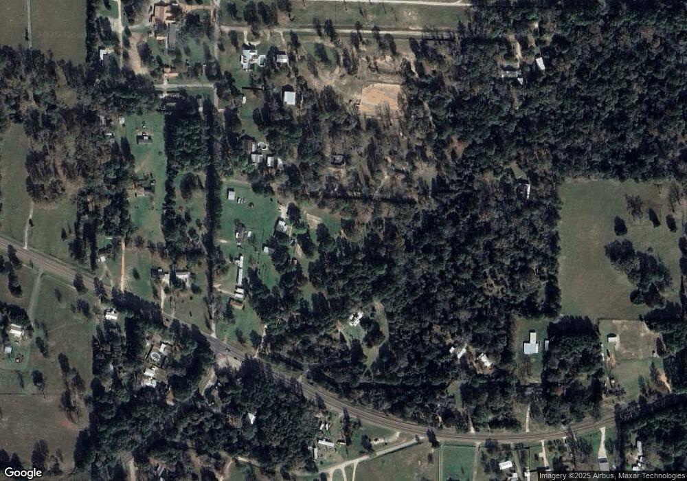
Map
Nearby Homes
- 51 Bullock Ln
- 6950 Farm To Market 2666
- TBD the Living End
- 10500 Highway 150
- 121 Dirden Rd
- TBD Railroad Ave
- 820 S Railroad Ave
- 301 Railroad Ave
- TBD N Railroad Ross Ave
- 1304 S Railroad Ave
- TBD 3rd St
- 0 S Byrd Ave Unit 22934443
- 10th Street
- 44319 Sheperd
- 100 Bluegill Dr
- 111 10th St
- 0 Unit 77828844
- 171 Broken Bough St
- 20 Flys St
- 150 Page Ave
- 100 Whitfield Ln
- 90 Manuel Rd
- 170 Manuel Rd
- 9511 Highway 150
- 120 Whitfield Ln
- 00 Highway 150
- 9761 Highway 150
- 200 Manuel Rd
- 9445 Highway 150
- 9600 Highway 150
- 9711 Highway 150
- 9821 Highway 150
- 9690 Highway 150
- 100 Pig Trail Ln
- 201 Manuel Rd
- 101 Herrod Ln
- 9703 Texas 150
- TBD Deep Woods Dr
- 9440 Highway 150
- TBD Big Creek Rd