1100 Landerset Dr Herndon, VA 20170
Estimated Value: $919,000 - $975,000
4
Beds
4
Baths
3,229
Sq Ft
$292/Sq Ft
Est. Value
About This Home
This home is located at 1100 Landerset Dr, Herndon, VA 20170 and is currently estimated at $941,506, approximately $291 per square foot. 1100 Landerset Dr is a home located in Fairfax County with nearby schools including Dranesville Elementary, Herndon Middle School, and Herndon High School.
Ownership History
Date
Name
Owned For
Owner Type
Purchase Details
Closed on
Jan 31, 1996
Sold by
Toll At Potomac Woods Lp
Bought by
Davis Danny C
Current Estimated Value
Home Financials for this Owner
Home Financials are based on the most recent Mortgage that was taken out on this home.
Original Mortgage
$253,250
Outstanding Balance
$8,484
Interest Rate
7.25%
Estimated Equity
$933,022
Create a Home Valuation Report for This Property
The Home Valuation Report is an in-depth analysis detailing your home's value as well as a comparison with similar homes in the area
Home Values in the Area
Average Home Value in this Area
Purchase History
| Date | Buyer | Sale Price | Title Company |
|---|---|---|---|
| Davis Danny C | $316,641 | -- |
Source: Public Records
Mortgage History
| Date | Status | Borrower | Loan Amount |
|---|---|---|---|
| Open | Davis Danny C | $253,250 | |
| Closed | Davis Danny C | $31,650 |
Source: Public Records
Tax History Compared to Growth
Tax History
| Year | Tax Paid | Tax Assessment Tax Assessment Total Assessment is a certain percentage of the fair market value that is determined by local assessors to be the total taxable value of land and additions on the property. | Land | Improvement |
|---|---|---|---|---|
| 2025 | $9,238 | $908,930 | $324,000 | $584,930 |
| 2024 | $9,238 | $797,370 | $274,000 | $523,370 |
| 2023 | $8,931 | $791,420 | $274,000 | $517,420 |
| 2022 | $8,750 | $765,180 | $269,000 | $496,180 |
| 2021 | $7,875 | $671,030 | $229,000 | $442,030 |
| 2020 | $7,700 | $650,640 | $229,000 | $421,640 |
| 2019 | $7,628 | $644,510 | $229,000 | $415,510 |
| 2018 | $7,717 | $671,030 | $229,000 | $442,030 |
| 2017 | $7,283 | $627,320 | $228,000 | $399,320 |
| 2016 | $7,466 | $644,490 | $228,000 | $416,490 |
| 2015 | $6,734 | $603,400 | $211,000 | $392,400 |
| 2014 | $6,123 | $549,900 | $199,000 | $350,900 |
Source: Public Records
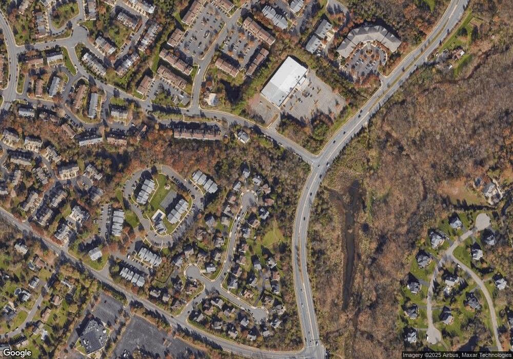
Map
Nearby Homes
- 46895 Eaton Terrace Unit 300
- 21865 Broadleaf Square
- 46930 Trumpet Cir
- 21921 Myrtlewood Square
- 21747 Leatherleaf Cir
- 1330 Rock Chapel Rd
- 12183 Holly Knoll Cir
- 509 Cindy Ct
- 312 E Gordon St
- 304 E Gordon St
- 202 E Gordon St
- 1904 E Beech Rd
- 814 N Croydon St
- 207 N Laura Anne Dr
- 1407 Skyhaven Ct
- 2007 Jonathan Dr
- 32 Cedar Dr
- 21439 Kenyon Ct
- 203 N Lincoln Ave
- 12649 Terrymill Dr
- 1102 Landerset Dr
- 1101 Landerset Dr
- 1104 Landerset Dr
- 1103 Landerset Dr
- 1106 Landerset Dr
- 1105 Landerset Dr
- 46915 Eaton Terrace
- 1109 Landerset Dr
- 1108 Landerset Dr
- 1111 Landerset Dr
- 1110 Landerset Dr
- 1112 Landerset Dr
- 46897 Eaton Terrace Unit 203
- 46897 Eaton Terrace Unit 100
- 46897 Eaton Terrace Unit 101
- 46897 Eaton Terrace Unit 202
- 46897 Eaton Terrace Unit 200
- 46897 Eaton Terrace Unit 201
- 1115 Landerset Dr
- 1116 Landerset Dr