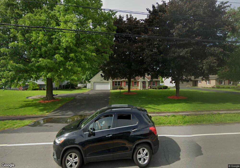
1100 Whitney Rd E Fairport, NY 14450
Estimated Value: $323,000 - $381,764
3
Beds
2
Baths
1,919
Sq Ft
$185/Sq Ft
Est. Value
About This Home
This home is located at 1100 Whitney Rd E, Fairport, NY 14450 and is currently estimated at $354,441, approximately $184 per square foot. 1100 Whitney Rd E is a home located in Monroe County with nearby schools including Jefferson Avenue Elementary School, Johanna Perrin Middle School, and Minerva Deland School.
Ownership History
Date
Name
Owned For
Owner Type
Purchase Details
Closed on
Feb 10, 2020
Sold by
Mccormack Jane M
Bought by
Pennington Jessica and Mccormack Family Irrevocable T
Current Estimated Value
Purchase Details
Closed on
Dec 22, 2017
Sold by
Mccormack Edmund P and Mccormack Jane M
Bought by
Mccormack Jane M
Purchase Details
Closed on
Oct 2, 2015
Sold by
Mccormack Jane M and Pennington Jane M
Bought by
Mccormack Edmund P and Mccormack Jane M
Purchase Details
Closed on
Oct 24, 2007
Sold by
Pennington Robert
Bought by
Pennington Jane
Purchase Details
Closed on
Feb 10, 1995
Sold by
Varcoe George H and Varcoe Simone
Bought by
Pennington Robert L and Pennington Jan
Create a Home Valuation Report for This Property
The Home Valuation Report is an in-depth analysis detailing your home's value as well as a comparison with similar homes in the area
Home Values in the Area
Average Home Value in this Area
Purchase History
| Date | Buyer | Sale Price | Title Company |
|---|---|---|---|
| Pennington Jessica | -- | Webtitle Agency | |
| Mccormack Jane M | -- | -- | |
| Mccormack Edmund P | -- | None Available | |
| Pennington Jane | -- | Steven Beckerman | |
| Pennington Robert L | $123,000 | -- | |
| -- | -- | -- |
Source: Public Records
Tax History Compared to Growth
Tax History
| Year | Tax Paid | Tax Assessment Tax Assessment Total Assessment is a certain percentage of the fair market value that is determined by local assessors to be the total taxable value of land and additions on the property. | Land | Improvement |
|---|---|---|---|---|
| 2024 | $6,958 | $177,400 | $43,400 | $134,000 |
| 2023 | $6,759 | $177,400 | $43,400 | $134,000 |
| 2022 | $6,525 | $177,400 | $43,400 | $134,000 |
| 2021 | $6,523 | $177,400 | $43,400 | $134,000 |
| 2020 | $6,408 | $177,400 | $43,400 | $134,000 |
| 2019 | $5,951 | $177,400 | $43,400 | $134,000 |
| 2018 | $6,246 | $177,400 | $43,400 | $134,000 |
| 2017 | $3,914 | $164,300 | $43,400 | $120,900 |
| 2016 | $5,951 | $164,300 | $43,400 | $120,900 |
| 2015 | -- | $164,300 | $43,400 | $120,900 |
| 2014 | -- | $164,300 | $43,400 | $120,900 |
Source: Public Records
Map
Nearby Homes
- 19 Homestead Dr
- 603 Watson Rd
- 15 Whitney Farms Cir
- 70 High St
- 12 Deland Park A
- 1331 Whitney Rd E
- 105 Packetts Glen
- 3 Packetts Glen
- 86 Broxbourne Dr
- 112 Roselawn Ave
- 79 Saint Andrews Blvd
- 9 Killeen Dr
- 255 Watson Rd
- 2 Foxpointe Cir
- 76 - 78 Summit St
- 31 Dewey Ave
- 3 Acadian Rise
- 30 Cali Ridge
- 4 Arbor Ct
- 31 Belinda Crescent
- 1108 Whitney Rd E
- 2 Buckwheat Dr
- 1116 Whitney Rd E
- 3 Wheatstone Cir
- 5 Wheatstone Cir
- 6 Buckwheat Dr
- 7 Wheatstone Cir
- 1124 Whitney Rd E
- 9 Wheatstone Cir
- 1 Buckwheat Dr
- 1075 Whitney Rd E
- 1125 Whitney Rd E
- 3 Buckwheat Dr
- 1132 Whitney Rd E
- 5 Buckwheat Dr
- 76 East St
- 72 East St
- 11 Wheatstone Cir
- 7 Buckwheat Dr
- 64 East St