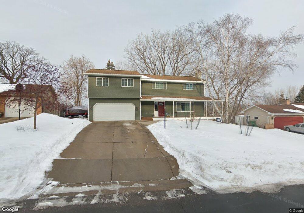
11004 Territorial Dr Burnsville, MN 55337
Estimated Value: $429,000 - $470,000
5
Beds
3
Baths
2,184
Sq Ft
$202/Sq Ft
Est. Value
About This Home
This home is located at 11004 Territorial Dr, Burnsville, MN 55337 and is currently estimated at $441,477, approximately $202 per square foot. 11004 Territorial Dr is a home located in Dakota County with nearby schools including Burnsville High School, Gateway STEM Academy, and Sunrise International Montessori School.
Ownership History
Date
Name
Owned For
Owner Type
Purchase Details
Closed on
May 25, 2017
Sold by
Olson Bruce Alan and Olson Charlene Sue
Bought by
Kraus Otto J and Kraus Emily L
Current Estimated Value
Home Financials for this Owner
Home Financials are based on the most recent Mortgage that was taken out on this home.
Original Mortgage
$270,655
Outstanding Balance
$224,587
Interest Rate
4.02%
Mortgage Type
New Conventional
Estimated Equity
$216,890
Purchase Details
Closed on
Aug 28, 1998
Sold by
Denn John E and Denn Kathryn A
Bought by
Olson Bruce A and Olson Charlene
Create a Home Valuation Report for This Property
The Home Valuation Report is an in-depth analysis detailing your home's value as well as a comparison with similar homes in the area
Home Values in the Area
Average Home Value in this Area
Purchase History
| Date | Buyer | Sale Price | Title Company |
|---|---|---|---|
| Kraus Otto J | $284,900 | None Available | |
| Olson Bruce A | $169,500 | -- |
Source: Public Records
Mortgage History
| Date | Status | Borrower | Loan Amount |
|---|---|---|---|
| Open | Kraus Otto J | $270,655 |
Source: Public Records
Tax History Compared to Growth
Tax History
| Year | Tax Paid | Tax Assessment Tax Assessment Total Assessment is a certain percentage of the fair market value that is determined by local assessors to be the total taxable value of land and additions on the property. | Land | Improvement |
|---|---|---|---|---|
| 2024 | $4,726 | $450,800 | $94,800 | $356,000 |
| 2023 | $4,726 | $446,100 | $94,900 | $351,200 |
| 2022 | $3,856 | $424,700 | $94,600 | $330,100 |
| 2021 | $4,030 | $360,200 | $82,300 | $277,900 |
| 2020 | $4,022 | $356,800 | $83,200 | $273,600 |
| 2019 | $3,826 | $344,100 | $79,300 | $264,800 |
| 2018 | $3,861 | $313,300 | $75,500 | $237,800 |
| 2017 | $3,831 | $307,100 | $71,900 | $235,200 |
| 2016 | $3,993 | $286,000 | $68,500 | $217,500 |
| 2015 | $3,778 | $274,609 | $63,733 | $210,876 |
| 2014 | -- | $269,813 | $62,449 | $207,364 |
| 2013 | -- | $235,805 | $56,198 | $179,607 |
Source: Public Records
Map
Nearby Homes
- 2001 Woods Ln
- 11311 W River Hills Dr
- 1601 Raleigh Dr
- 11115 Carver Ct
- 2329 Explorer Ct
- 11017 27th Ave S
- 11036 27th Ave S
- 10934 Southview Dr
- 3108 Foxpoint Cir
- 3113 Chandler Ct
- 1800 Riverwood Dr Unit 110
- 1800 Riverwood Dr Unit 323
- 11459 Galtier Dr
- 1853 Riverwood Dr Unit 4
- 2200 Horizon Rd
- 3017 Mcleod St
- 4165 Old Sibley Hwy
- 2247 Liberty Ln
- 10325 10th Avenue Cir S
- 11900 Highland View Cir
- 11006 Territorial Dr
- 11002 Territorial Dr
- 11008 Territorial Dr
- 11005 Territorial Dr
- 11007 Territorial Dr
- 11000 Territorial Dr
- 11003 Territorial Dr
- 11009 Territorial Dr
- 11010 Territorial Dr
- 11011 Territorial Dr
- 11012 Territorial Dr
- 10943 Territorial Dr
- 1901 Sioux Ct
- 11015 Territorial Dr
- 1903 Sioux Ct
- 11014 Bluff Ct
- 11016 Bluff Ct
- 11021 Territorial Dr
- 10941 Territorial Dr
- 1905 Sioux Ct