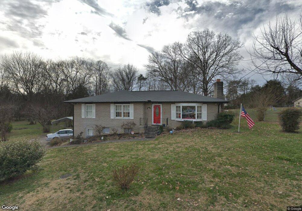
1101 King Rd Seymour, TN 37865
Estimated Value: $237,947 - $273,000
--
Bed
1
Bath
1,305
Sq Ft
$195/Sq Ft
Est. Value
About This Home
This home is located at 1101 King Rd, Seymour, TN 37865 and is currently estimated at $254,237, approximately $194 per square foot. 1101 King Rd is a home located in Blount County with nearby schools including Prospect Elementary School, Heritage Middle School, and Heritage High School.
Ownership History
Date
Name
Owned For
Owner Type
Purchase Details
Closed on
Nov 30, 2022
Sold by
Norwood Gail M
Bought by
Norwood Archie J
Current Estimated Value
Purchase Details
Closed on
Jun 11, 2015
Sold by
Norwood Archie J Sr Tr
Bought by
Norwood Gail M Tr and The Norwood Trust
Purchase Details
Closed on
Nov 9, 2004
Bought by
Norwood Archie J Sr Tr
Purchase Details
Closed on
Jun 21, 1962
Bought by
Norwood Archie J and Gail Mcnallie
Create a Home Valuation Report for This Property
The Home Valuation Report is an in-depth analysis detailing your home's value as well as a comparison with similar homes in the area
Home Values in the Area
Average Home Value in this Area
Purchase History
| Date | Buyer | Sale Price | Title Company |
|---|---|---|---|
| Norwood Archie J | -- | -- | |
| Norwood Gail M Tr | -- | -- | |
| Norwood Archie J Sr Tr | -- | -- | |
| Norwood Archie J | -- | -- |
Source: Public Records
Tax History Compared to Growth
Tax History
| Year | Tax Paid | Tax Assessment Tax Assessment Total Assessment is a certain percentage of the fair market value that is determined by local assessors to be the total taxable value of land and additions on the property. | Land | Improvement |
|---|---|---|---|---|
| 2025 | $754 | $47,450 | $0 | $0 |
| 2024 | $754 | $47,450 | $16,000 | $31,450 |
| 2023 | $754 | $47,450 | $16,000 | $31,450 |
| 2022 | $722 | $29,250 | $10,000 | $19,250 |
| 2021 | $527 | $29,250 | $10,000 | $19,250 |
| 2020 | $527 | $29,250 | $10,000 | $19,250 |
| 2019 | $527 | $29,250 | $10,000 | $19,250 |
| 2018 | $527 | $25,500 | $10,000 | $15,500 |
| 2017 | $527 | $25,500 | $10,000 | $15,500 |
| 2016 | $527 | $25,500 | $10,000 | $15,500 |
| 2015 | $548 | $25,500 | $10,000 | $15,500 |
| 2014 | $527 | $25,500 | $10,000 | $15,500 |
| 2013 | $527 | $24,525 | $0 | $0 |
Source: Public Records
Map
Nearby Homes
- 1 Chapman Hwy
- 204 Joy St
- 139 Creekwood Way
- 1248 S Old Sevierville Pike
- Lot 2R-1 Chapman Hwy
- Tract 1 Chapman Hwy
- 0 Chapman Hwy Unit 1287907
- 10023 Chapman Hwy
- 802 Hinkle Rd
- 8852 Chapman Trace Way
- 8848 Chapman Trace Way
- The Marigold Plan at Chapman Trace
- The Lily Plan at Chapman Trace
- 8851 Chapman Trace Way
- 8846 Chapman Trace Way
- 8849 Chapman Trace Way
- 8847 Chapman Trace Way
- 8845 Chapman Trace Way
- 8840 Chapman Trace Way
- 8838 Chapman Trace Way
- 1107 King Rd
- 1108 King Rd
- 1105 Banner St
- 207 Mcmahan Rd
- 1107 Banner St
- 1112 King Rd
- 313 Burnett Station Rd
- 315 Burnett Station Rd Unit 315
- 201 Mcmahan Rd
- 1117 King Rd
- 1111 Banner St
- 1118 King Rd
- 317 Burnett Station Rd
- 1102 Banner St
- 1117 Banner St
- 1108 Banner St
- 133 Mcmahan Rd
- 1121 King Rd
- 1114 Banner St
- 1126 Hines Rd