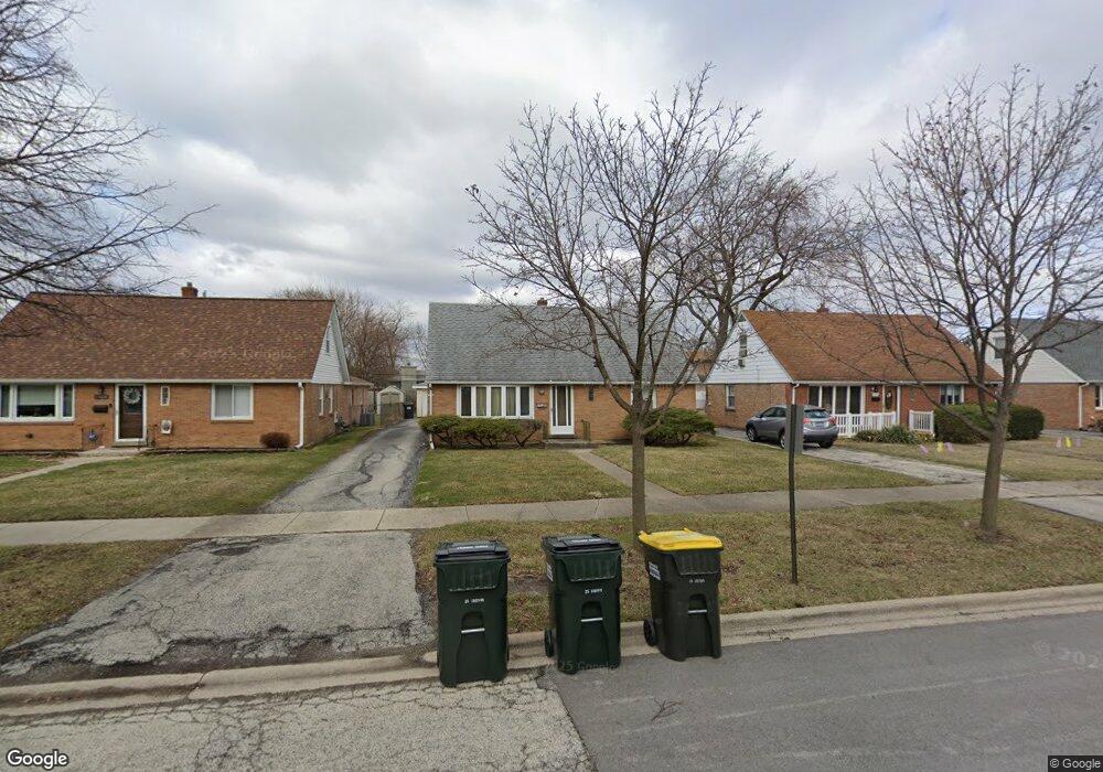
11024 Mayfield Ave Chicago Ridge, IL 60415
Estimated Value: $293,000 - $338,000
4
Beds
2
Baths
1,510
Sq Ft
$204/Sq Ft
Est. Value
About This Home
This home is located at 11024 Mayfield Ave, Chicago Ridge, IL 60415 and is currently estimated at $308,362, approximately $204 per square foot. 11024 Mayfield Ave is a home located in Cook County with nearby schools including Ridge Central Elementary School, Elden D Finley Jr High School, and Harold L. Richards High School.
Ownership History
Date
Name
Owned For
Owner Type
Purchase Details
Closed on
Dec 9, 1999
Sold by
Robbins Michael J
Bought by
Lyons William M
Current Estimated Value
Home Financials for this Owner
Home Financials are based on the most recent Mortgage that was taken out on this home.
Original Mortgage
$148,217
Outstanding Balance
$46,959
Interest Rate
8.02%
Mortgage Type
VA
Estimated Equity
$261,403
Purchase Details
Closed on
Jan 11, 1995
Sold by
Demarco Laverne
Bought by
Robbins Michael J
Home Financials for this Owner
Home Financials are based on the most recent Mortgage that was taken out on this home.
Original Mortgage
$100,000
Interest Rate
9.23%
Purchase Details
Closed on
Jan 4, 1995
Sold by
Bank Of Lyons
Bought by
Demarco Laverne
Home Financials for this Owner
Home Financials are based on the most recent Mortgage that was taken out on this home.
Original Mortgage
$100,000
Interest Rate
9.23%
Create a Home Valuation Report for This Property
The Home Valuation Report is an in-depth analysis detailing your home's value as well as a comparison with similar homes in the area
Home Values in the Area
Average Home Value in this Area
Purchase History
| Date | Buyer | Sale Price | Title Company |
|---|---|---|---|
| Lyons William M | $144,000 | -- | |
| Robbins Michael J | $130,000 | Ticor Title Insurance | |
| Demarco Laverne | -- | Ticor Title Insurance |
Source: Public Records
Mortgage History
| Date | Status | Borrower | Loan Amount |
|---|---|---|---|
| Open | Lyons William M | $148,217 | |
| Previous Owner | Robbins Michael J | $100,000 |
Source: Public Records
Tax History Compared to Growth
Tax History
| Year | Tax Paid | Tax Assessment Tax Assessment Total Assessment is a certain percentage of the fair market value that is determined by local assessors to be the total taxable value of land and additions on the property. | Land | Improvement |
|---|---|---|---|---|
| 2024 | $6,060 | $22,000 | $4,020 | $17,980 |
| 2023 | $5,640 | $22,000 | $4,020 | $17,980 |
| 2022 | $5,640 | $17,817 | $3,518 | $14,299 |
| 2021 | $5,431 | $17,816 | $3,517 | $14,299 |
| 2020 | $5,449 | $17,816 | $3,517 | $14,299 |
| 2019 | $5,337 | $17,098 | $3,182 | $13,916 |
| 2018 | $5,073 | $17,098 | $3,182 | $13,916 |
| 2017 | $5,104 | $17,098 | $3,182 | $13,916 |
| 2016 | $4,103 | $12,782 | $2,680 | $10,102 |
| 2015 | $4,747 | $14,753 | $2,680 | $12,073 |
| 2014 | $4,669 | $14,753 | $2,680 | $12,073 |
| 2013 | $4,577 | $15,759 | $2,680 | $13,079 |
Source: Public Records
Map
Nearby Homes
- 6040 111th St
- 10925 Mcvicker Ave
- 11013 Menard Ave
- 5825 109th St
- 5924 W 109th St
- 10925 Lyman Ave
- 5730 110th St
- 10937 Moody Ave
- 10854 Lyman Ave
- 10832 Massasoit Ave
- 10755 Mason Ave
- 11000 Central Ave Unit 2C
- 11010 Central Ave Unit 3A
- 10930 Central Ave Unit 1B
- 5810 107th Court Way
- 10912 Princess Ave
- 10825 Oxford Ave
- 10710 Central Ave Unit 3D
- 10706 Oak Ave
- 10624 S Central Ave Unit 1
- 11020 Mayfield Ave
- 11028 Mayfield Ave
- 11016 Mayfield Ave
- 11032 Mayfield Ave
- 11027 Mason Ave
- 11025 Mason Ave
- 11021 Mason Ave
- 11012 Mayfield Ave
- 5900 W 111th St
- 11017 Mason Ave
- 11017 Mason Ave
- 11029 Mason Ave
- 11029 Mason Ave
- 5900 111th St
- 11025 Mayfield Ave
- 11008 Mayfield Ave
- 11021 Mayfield Ave
- 11029 Mayfield Ave
- 5914 W 111th St
- 5914 W 111th St