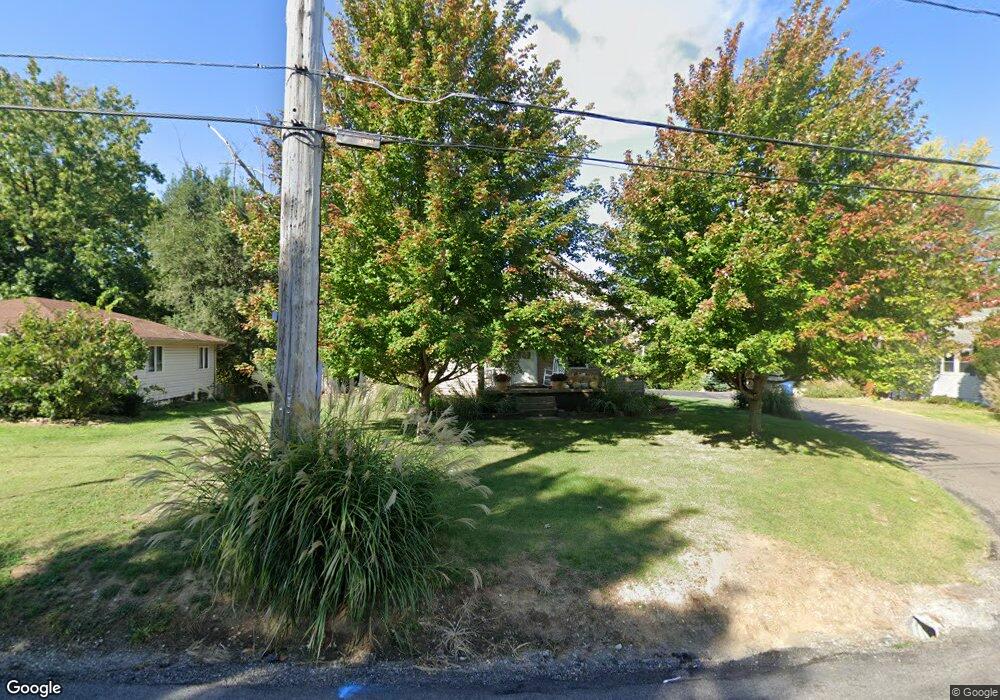
1103 Virginia St Collinsville, IL 62234
Estimated Value: $152,466 - $173,000
3
Beds
1
Bath
1,461
Sq Ft
$113/Sq Ft
Est. Value
About This Home
This home is located at 1103 Virginia St, Collinsville, IL 62234 and is currently estimated at $165,117, approximately $113 per square foot. 1103 Virginia St is a home located in Madison County with nearby schools including John A Renfro Elementary School, Dorris Intermediate School, and Collinsville Middle School.
Ownership History
Date
Name
Owned For
Owner Type
Purchase Details
Closed on
Nov 13, 2008
Sold by
Fannie Mae
Bought by
Meyer Daniel
Current Estimated Value
Home Financials for this Owner
Home Financials are based on the most recent Mortgage that was taken out on this home.
Original Mortgage
$71,580
Outstanding Balance
$46,801
Interest Rate
6%
Mortgage Type
Construction
Estimated Equity
$118,316
Purchase Details
Closed on
Sep 9, 2008
Sold by
Keyes Scott W
Bought by
Federal National Mortgage Association
Create a Home Valuation Report for This Property
The Home Valuation Report is an in-depth analysis detailing your home's value as well as a comparison with similar homes in the area
Home Values in the Area
Average Home Value in this Area
Purchase History
| Date | Buyer | Sale Price | Title Company |
|---|---|---|---|
| Meyer Daniel | $42,000 | Fatic | |
| Federal National Mortgage Association | -- | None Available |
Source: Public Records
Mortgage History
| Date | Status | Borrower | Loan Amount |
|---|---|---|---|
| Open | Meyer Daniel | $71,580 |
Source: Public Records
Tax History Compared to Growth
Tax History
| Year | Tax Paid | Tax Assessment Tax Assessment Total Assessment is a certain percentage of the fair market value that is determined by local assessors to be the total taxable value of land and additions on the property. | Land | Improvement |
|---|---|---|---|---|
| 2024 | $2,415 | $43,780 | $7,200 | $36,580 |
| 2023 | $2,415 | $40,520 | $6,660 | $33,860 |
| 2022 | $2,272 | $36,360 | $5,960 | $30,400 |
| 2021 | $1,945 | $34,160 | $5,600 | $28,560 |
| 2020 | $1,856 | $32,590 | $5,340 | $27,250 |
| 2019 | $1,793 | $31,480 | $5,160 | $26,320 |
| 2018 | $1,596 | $27,860 | $4,870 | $22,990 |
| 2017 | $1,589 | $27,300 | $4,770 | $22,530 |
| 2016 | $1,665 | $27,300 | $4,770 | $22,530 |
| 2015 | $1,541 | $26,590 | $4,650 | $21,940 |
| 2014 | $1,541 | $26,590 | $4,650 | $21,940 |
| 2013 | $1,541 | $26,590 | $4,650 | $21,940 |
Source: Public Records
Map
Nearby Homes
- 1224 Cedar Ridge Ct
- 4 Delta Dr
- 22 Brookwood Dr
- 5 Brookwood Dr
- 308 Brown Ave
- 1120 Williams St
- 617 N Morrison Ave
- 0 Strong Ave
- 123 W Wickliffe Ave
- 1210 Constance St
- 123 Elliot St
- 0 N Keebler Ave
- 203 Greenfield Dr
- 501 Spring
- 580 N Guernsey St
- 510 N Combs Ave
- 1121 Carraway Ct
- 0 Elm St
- 10 White Lily Dr
- 300 N Combs Ave
- 1105 Virginia St
- 1107 Virginia St
- 1201 Cedar Ridge Ct
- 1108 Virginia St
- 1205 Cedar Ridge Ct
- 1106 Virginia St
- 1101 Virginia St
- 204 Lee Ave
- 1104 Virginia St
- 1209 Cedar Ridge Ct
- 207 Brian Dr
- 1102 Virginia St
- 208 Lee Ave
- 1200 Cedar Ridge Ct
- 210 Lee Ave
- 1213 Cedar Ridge Ct
- 115 Clark St Unit A
- 115 Clark St
- 115A Clark St
- 214 Lee Ave