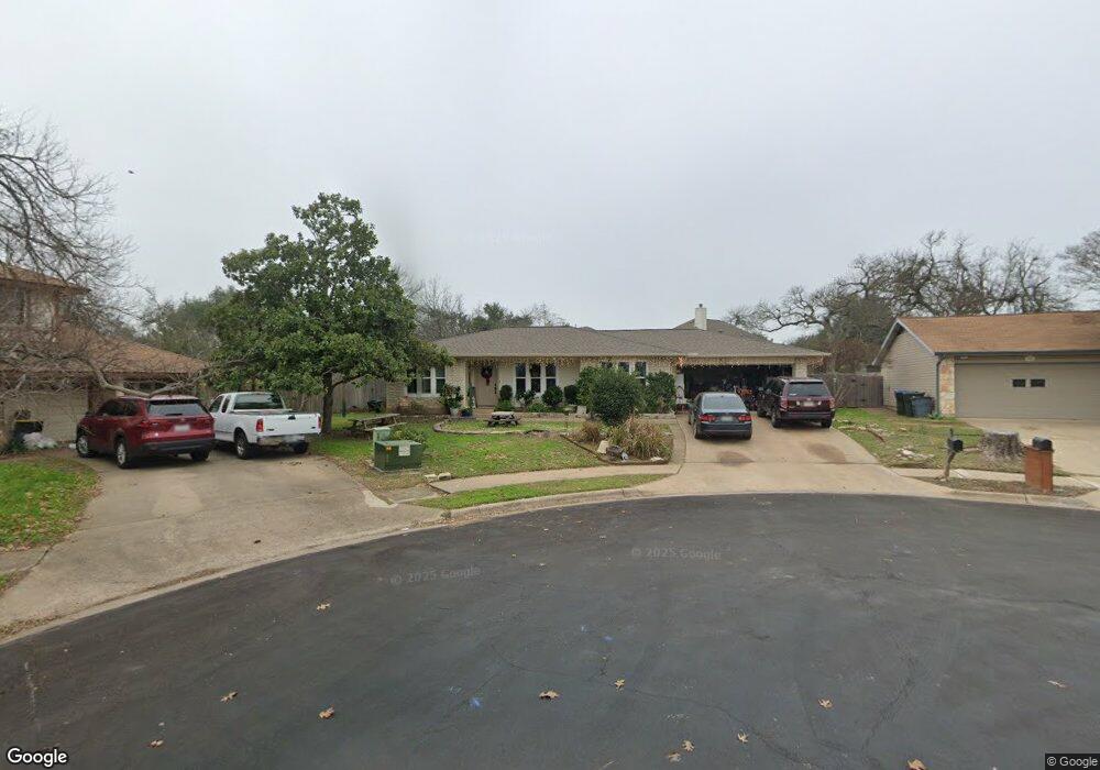
11030 Hard Rock Rd Austin, TX 78750
Anderson Mill NeighborhoodEstimated Value: $476,831 - $530,000
5
Beds
3
Baths
2,130
Sq Ft
$235/Sq Ft
Est. Value
About This Home
This home is located at 11030 Hard Rock Rd, Austin, TX 78750 and is currently estimated at $501,208, approximately $235 per square foot. 11030 Hard Rock Rd is a home located in Williamson County with nearby schools including Anderson Mill Elementary School, Noel Grisham Middle, and Westwood High School.
Ownership History
Date
Name
Owned For
Owner Type
Purchase Details
Closed on
Feb 4, 2022
Sold by
Doolittle Bruce D
Bought by
Reeves Shannon and Reeves Susan Payne
Current Estimated Value
Home Financials for this Owner
Home Financials are based on the most recent Mortgage that was taken out on this home.
Original Mortgage
$360,000
Outstanding Balance
$333,880
Interest Rate
3.45%
Mortgage Type
New Conventional
Estimated Equity
$167,328
Create a Home Valuation Report for This Property
The Home Valuation Report is an in-depth analysis detailing your home's value as well as a comparison with similar homes in the area
Home Values in the Area
Average Home Value in this Area
Purchase History
| Date | Buyer | Sale Price | Title Company |
|---|---|---|---|
| Reeves Shannon | -- | Independence Title |
Source: Public Records
Mortgage History
| Date | Status | Borrower | Loan Amount |
|---|---|---|---|
| Open | Reeves Shannon | $360,000 |
Source: Public Records
Tax History Compared to Growth
Tax History
| Year | Tax Paid | Tax Assessment Tax Assessment Total Assessment is a certain percentage of the fair market value that is determined by local assessors to be the total taxable value of land and additions on the property. | Land | Improvement |
|---|---|---|---|---|
| 2025 | $4,751 | $454,688 | $88,500 | $366,188 |
| 2024 | $4,751 | $468,642 | $88,500 | $380,142 |
| 2023 | $4,731 | $442,111 | $92,000 | $350,111 |
| 2022 | $11,528 | $536,923 | $92,000 | $444,923 |
| 2021 | $9,276 | $377,584 | $72,000 | $305,584 |
| 2020 | $7,448 | $313,061 | $66,598 | $246,463 |
| 2019 | $7,129 | $291,473 | $60,700 | $230,773 |
| 2018 | $6,704 | $274,098 | $54,891 | $219,207 |
| 2017 | $6,948 | $278,354 | $51,300 | $227,054 |
| 2016 | $6,073 | $243,301 | $51,300 | $192,001 |
| 2015 | $5,129 | $219,878 | $42,100 | $177,778 |
| 2014 | $5,129 | $201,201 | $0 | $0 |
Source: Public Records
Map
Nearby Homes
- 11100 Alison Parke Trail
- 11007 Opal Trail
- 11000 Anderson Mill Rd Unit 96
- 11000 Anderson Mill Rd Unit 63
- 11533 Sandy Loam Trail
- 11462 Bristle Oak Trail
- 10606 Mourning Dove Dr
- 11908 Stout Oak Trail
- 10903 Cade Cir
- 11302 Centennial Trail
- 12106 Grey Fawn Path
- 11405 Bristle Oak Trail
- 11405 Antler Ln
- 1028 Verbena Dr
- 10903 Centennial Trail
- 11612 Tanglebriar Trail
- 10404 Mourning Dove Dr
- 12206 Saber Trail
- 11512 Powder Mill Trail
- 10401 Mourning Dove Dr
- 11032 Hard Rock Rd
- 11000 Alison Park Trail
- 11028 Hard Rock Rd
- 10912 Tall Oak Trail
- 11001 Alison Park Trail
- 10910 Tall Oak Trail
- 11031 Hard Rock Rd
- 10908 Tall Oak Trail
- 11026 Hard Rock Rd
- 11029 Hard Rock Rd
- 11004 Alison Park Trail
- 11005 Alison Parke Trail
- 11005 Alison Park Trail
- 10906 Tall Oak Trail
- 11027 Hard Rock Rd
- 10917 Thicket Trail
- 11700 Quartz Cir
- 11009 Alison Park Trail
- 11702 Quartz Cir
- 11025 Hard Rock Rd