1106 Lightstreet Rd Bloomsburg, PA 17815
Estimated Value: $384,000 - $439,000
--
Bed
--
Bath
2,240
Sq Ft
$185/Sq Ft
Est. Value
About This Home
This home is located at 1106 Lightstreet Rd, Bloomsburg, PA 17815 and is currently estimated at $414,742, approximately $185 per square foot. 1106 Lightstreet Rd is a home located in Columbia County with nearby schools including Central Columbia Elementary School, Central Columbia Middle School, and Central Columbia Senior High School.
Ownership History
Date
Name
Owned For
Owner Type
Purchase Details
Closed on
Oct 22, 2020
Sold by
Chew Christine M and Fisher Dawn
Bought by
Yeastedt Kenneth G
Current Estimated Value
Home Financials for this Owner
Home Financials are based on the most recent Mortgage that was taken out on this home.
Original Mortgage
$231,000
Outstanding Balance
$205,088
Interest Rate
2.8%
Mortgage Type
New Conventional
Estimated Equity
$209,654
Purchase Details
Closed on
Jul 15, 2011
Sold by
Beachell Jeffrey A
Bought by
Chew Christine M
Home Financials for this Owner
Home Financials are based on the most recent Mortgage that was taken out on this home.
Original Mortgage
$168,000
Interest Rate
4.49%
Mortgage Type
New Conventional
Create a Home Valuation Report for This Property
The Home Valuation Report is an in-depth analysis detailing your home's value as well as a comparison with similar homes in the area
Home Values in the Area
Average Home Value in this Area
Purchase History
| Date | Buyer | Sale Price | Title Company |
|---|---|---|---|
| Yeastedt Kenneth G | $296,000 | Market Street Abstract Co | |
| Chew Christine M | $243,000 | None Available |
Source: Public Records
Mortgage History
| Date | Status | Borrower | Loan Amount |
|---|---|---|---|
| Open | Yeastedt Kenneth G | $231,000 | |
| Previous Owner | Chew Christine M | $168,000 |
Source: Public Records
Tax History Compared to Growth
Tax History
| Year | Tax Paid | Tax Assessment Tax Assessment Total Assessment is a certain percentage of the fair market value that is determined by local assessors to be the total taxable value of land and additions on the property. | Land | Improvement |
|---|---|---|---|---|
| 2025 | $4,545 | $65,329 | $0 | $0 |
| 2024 | $4,433 | $65,329 | $13,010 | $52,319 |
| 2023 | $4,237 | $65,329 | $13,010 | $52,319 |
| 2022 | $3,945 | $61,975 | $13,010 | $48,965 |
| 2021 | $3,911 | $61,975 | $13,010 | $48,965 |
| 2020 | $3,777 | $61,975 | $13,010 | $48,965 |
| 2019 | $3,699 | $61,975 | $13,010 | $48,965 |
| 2018 | $3,687 | $61,975 | $13,010 | $48,965 |
| 2017 | $4,225 | $61,975 | $13,010 | $48,965 |
| 2016 | -- | $61,975 | $13,010 | $48,965 |
| 2015 | -- | $61,975 | $13,010 | $48,965 |
| 2014 | -- | $61,975 | $13,010 | $48,965 |
Source: Public Records
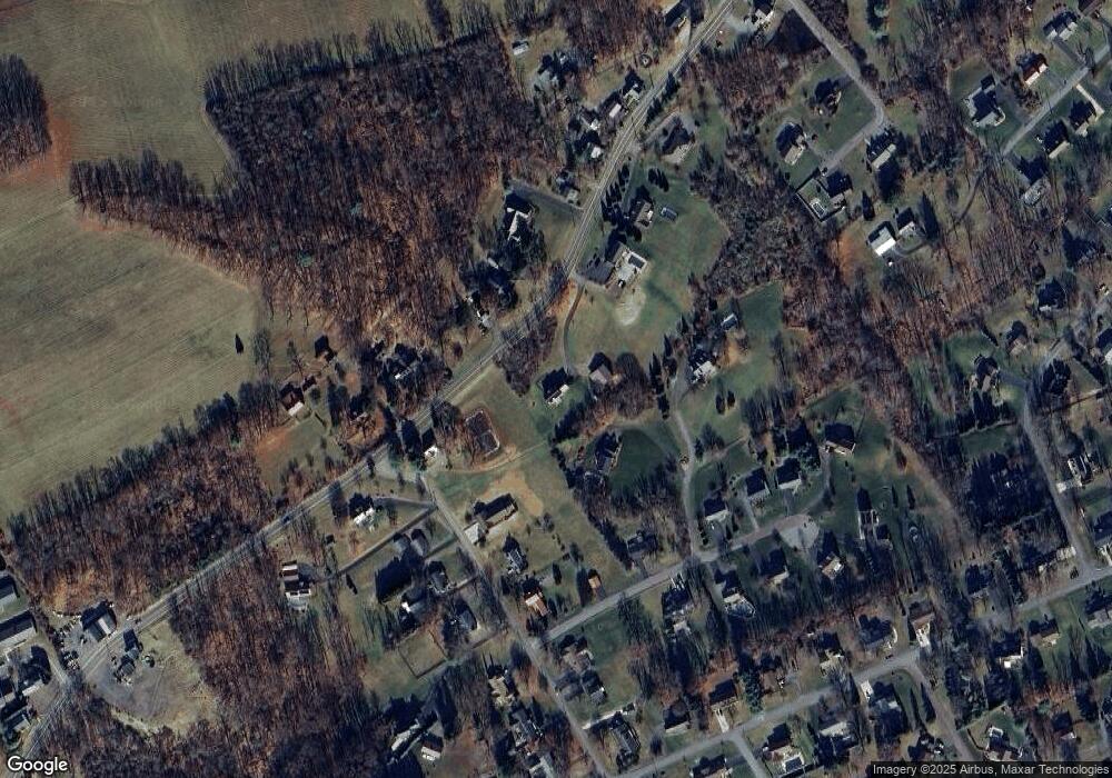
Map
Nearby Homes
- 1219 Maple St
- 925 Mcguire Rd
- 11 Amanda Dr
- 4 Kent Rd
- 1277 Cherry St
- 1246 Cherry St
- 712 Country Club Dr
- 505 Crestwood Dr
- 1251 Chestnut St
- 829 Lightstreet Rd
- 1311 Sassafras St
- 601 Honeysuckle Ln
- 1 Bittersweet Dr
- 638 E 4th St
- 9 Crestmont Cir
- 375377 Fetterman Ave
- 500 E 5th St
- 650652 Old Berwick Rd
- 324 E 4th St
- 0 Alliance Park Lot 6 Dr
- 1119 Seneca Rd
- 1103 Lightstreet Rd
- 675 Crestwood Dr
- 1105 Lightstreet Rd
- 665 Crestwood Dr
- 1108 Lightstreet Rd
- 1203 Seneca Rd
- 1107 Lightstreet Rd
- 655 Crestwood Dr
- 1110 Lightstreet Rd
- 1205 Seneca Rd
- 1099 Lightstreet Rd
- 1197 Seneca Rd
- 645 Crestwood Dr
- 670 Crestwood Dr
- 1207 Seneca Rd
- 690 Crestwood Dr
- 1204 Seneca Rd
- 1211 Seneca Rd
- 660 Crestwood Dr