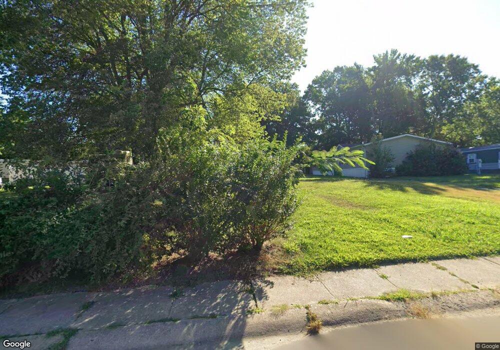
111 Lakeside Dr North East, MD 21901
Estimated Value: $137,309 - $384,000
--
Bed
--
Bath
--
Sq Ft
0.39
Acres
About This Home
This home is located at 111 Lakeside Dr, North East, MD 21901 and is currently estimated at $274,327. 111 Lakeside Dr is a home located in Cecil County with nearby schools including Bay View Elementary School, North East Middle School, and North East High School.
Ownership History
Date
Name
Owned For
Owner Type
Purchase Details
Closed on
Mar 11, 2024
Sold by
Hiebler Frances L
Bought by
Hiebler Frances L and Hiebler Stephen P
Current Estimated Value
Purchase Details
Closed on
Jun 28, 2007
Sold by
Coleman Annette
Bought by
Hiebler Frances L
Purchase Details
Closed on
Jun 15, 2007
Sold by
Coleman Annette
Bought by
Hiebler Frances L
Purchase Details
Closed on
Sep 16, 1988
Sold by
Belcher Stephanie and Berta Eric
Bought by
Coleman Annette
Home Financials for this Owner
Home Financials are based on the most recent Mortgage that was taken out on this home.
Original Mortgage
$31,500
Interest Rate
10.4%
Create a Home Valuation Report for This Property
The Home Valuation Report is an in-depth analysis detailing your home's value as well as a comparison with similar homes in the area
Home Values in the Area
Average Home Value in this Area
Purchase History
| Date | Buyer | Sale Price | Title Company |
|---|---|---|---|
| Hiebler Frances L | -- | None Listed On Document | |
| Hiebler Frances L | $95,000 | -- | |
| Hiebler Frances L | $95,000 | -- | |
| Coleman Annette | $20,000 | -- |
Source: Public Records
Mortgage History
| Date | Status | Borrower | Loan Amount |
|---|---|---|---|
| Previous Owner | Coleman Annette | $31,500 | |
| Closed | Hiebler Frances L | -- |
Source: Public Records
Tax History Compared to Growth
Tax History
| Year | Tax Paid | Tax Assessment Tax Assessment Total Assessment is a certain percentage of the fair market value that is determined by local assessors to be the total taxable value of land and additions on the property. | Land | Improvement |
|---|---|---|---|---|
| 2025 | $62 | $5,700 | $5,700 | $0 |
| 2024 | $62 | $5,700 | $5,700 | $0 |
| 2023 | $63 | $5,700 | $5,700 | $0 |
| 2022 | $64 | $5,700 | $5,700 | $0 |
| 2021 | $65 | $5,700 | $5,700 | $0 |
| 2020 | $66 | $5,700 | $5,700 | $0 |
| 2019 | $66 | $5,700 | $5,700 | $0 |
| 2018 | $66 | $5,700 | $5,700 | $0 |
| 2017 | $196 | $17,000 | $0 | $0 |
| 2016 | $353 | $17,000 | $0 | $0 |
| 2015 | $353 | $32,000 | $0 | $0 |
| 2014 | $455 | $37,000 | $0 | $0 |
Source: Public Records
Map
Nearby Homes
- 0 Pulaski Hwy
- 2515 Pulaski Hwy
- 162 Razor Strap Rd
- 51 Hickory Dr
- 10 Trail Wood Ct
- parcel # 66 Rolling Mill Ln
- 29 Aspen Dr
- 9 Aspen Dr
- Coral Plan at Northwoods - Seasons
- 31 Poplar Ct
- Lapis Plan at Northwoods - Seasons
- 80 Catalpa Dr
- Pearl Plan at Northwoods - Seasons
- 10 Poplar Ct
- 9 Poplar Ct
- 34 Poplar Ct
- 17 Poplar Ct
- 18 Poplar Ct
- Moonstone Plan at Northwoods - Seasons
- 35 Catalpa Dr
- 109 Lakeside Dr
- 102 Victoria Ct
- 107 Lakeside Dr
- 103 Victoria Ct
- 101 Victoria Ct
- 105 Lakeside Dr
- 104 Victoria Ct
- 103 Lakeside Dr
- 112 Lakeside Dr
- 110 Lakeside Dr
- 108 Lakeside Dr
- 114 Lakeside Dr
- 105 Victoria Ct
- 101 Lakeside Dr
- 116 Lakeside Dr
- 108 Victoria Ct
- 106 Lakeside Dr
- 104 Lakeside Dr
- 107 Victoria Ct
- 106 Victoria Ct