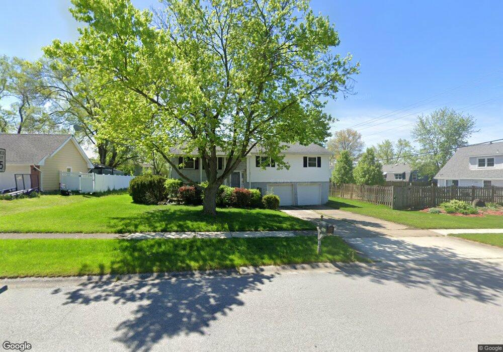
111 Magnolia Dr Crown Point, IN 46307
Estimated Value: $295,558 - $345,000
3
Beds
3
Baths
1,924
Sq Ft
$163/Sq Ft
Est. Value
About This Home
This home is located at 111 Magnolia Dr, Crown Point, IN 46307 and is currently estimated at $312,890, approximately $162 per square foot. 111 Magnolia Dr is a home located in Lake County with nearby schools including Dwight D. Eisenhower Elementary School, Robert Taft Middle School, and Crown Point High School.
Ownership History
Date
Name
Owned For
Owner Type
Purchase Details
Closed on
Feb 23, 2010
Sold by
Wertz Halina
Bought by
Bowser Daniel J
Current Estimated Value
Home Financials for this Owner
Home Financials are based on the most recent Mortgage that was taken out on this home.
Original Mortgage
$98,000
Outstanding Balance
$65,082
Interest Rate
5.02%
Mortgage Type
New Conventional
Estimated Equity
$247,808
Create a Home Valuation Report for This Property
The Home Valuation Report is an in-depth analysis detailing your home's value as well as a comparison with similar homes in the area
Home Values in the Area
Average Home Value in this Area
Purchase History
| Date | Buyer | Sale Price | Title Company |
|---|---|---|---|
| Bowser Daniel J | -- | Chicago Title Insurance Co |
Source: Public Records
Mortgage History
| Date | Status | Borrower | Loan Amount |
|---|---|---|---|
| Open | Bowser Daniel J | $98,000 |
Source: Public Records
Tax History Compared to Growth
Tax History
| Year | Tax Paid | Tax Assessment Tax Assessment Total Assessment is a certain percentage of the fair market value that is determined by local assessors to be the total taxable value of land and additions on the property. | Land | Improvement |
|---|---|---|---|---|
| 2024 | $5,722 | $229,800 | $39,400 | $190,400 |
| 2023 | $2,235 | $208,200 | $39,400 | $168,800 |
| 2022 | $2,244 | $203,400 | $39,400 | $164,000 |
| 2021 | $2,096 | $190,400 | $26,400 | $164,000 |
| 2020 | $2,070 | $188,100 | $26,400 | $161,700 |
| 2019 | $1,968 | $179,100 | $26,400 | $152,700 |
| 2018 | $2,045 | $173,100 | $26,400 | $146,700 |
| 2017 | $2,027 | $170,500 | $26,400 | $144,100 |
| 2016 | $2,032 | $168,700 | $26,400 | $142,300 |
| 2014 | $1,847 | $164,000 | $26,400 | $137,600 |
| 2013 | $1,924 | $167,300 | $26,400 | $140,900 |
Source: Public Records
Map
Nearby Homes
- 425 Sherwood Dr
- 300 Omega Dr
- 1152 S Ridge St
- 924 W Crestview Ct
- 1002 Gordon Ct
- 217 Crestview Ln
- 642 Omega Dr
- 244 Sawgrass Dr
- 246 Sawgrass Dr
- 248 Sawgrass Dr
- The Ganby Plan at Sawgrass
- The Monarch Plan at Sawgrass
- The Keystone Plan at Sawgrass
- The Breckenridge Plan at Sawgrass
- 11498 Hancock Dr
- 253 Nomo Place
- 283 Nomo Place
- 780 Williams Ct
- 2439 W 127th Ave
- The Cottonwood Plan at Golden Meadow
- 115 Magnolia Dr
- 103 Magnolia Dr
- 1226 S Main St
- 114 Hemlock Ln
- 201 Magnolia Dr
- 118 Hemlock Ln
- 112 Magnolia Dr
- 1230 S Main St
- 1216 S Main St
- 116 Magnolia Dr
- 211 Magnolia Dr
- 202 Magnolia Dr
- 204 Hemlock Ln
- 1208 S Main St
- 111 Sherwood Dr
- 1300 S Main St
- 115 Sherwood Dr
- 219 Magnolia Dr
- 210 Magnolia Dr
- 115 Hemlock Ln