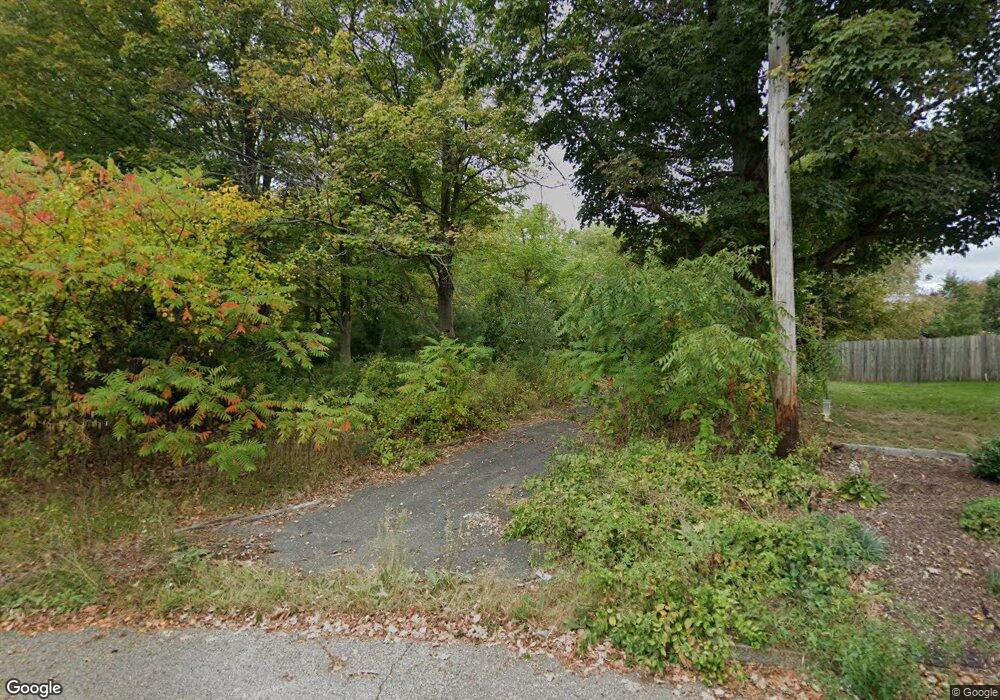
111 Mcintosh Dr Manchester, CT 06042
Estimated Value: $99,000 - $321,000
--
Bed
1
Bath
--
Sq Ft
1.29
Acres
About This Home
This home is located at 111 Mcintosh Dr, Manchester, CT 06042 and is currently estimated at $157,174. 111 Mcintosh Dr is a home located in Hartford County with nearby schools including Robertson School, Illing Middle School, and Elisabeth M. Bennet Academy.
Ownership History
Date
Name
Owned For
Owner Type
Purchase Details
Closed on
Apr 11, 2025
Sold by
Koutouzis Aspasia
Bought by
Macintosh Street Llc
Current Estimated Value
Purchase Details
Closed on
Jun 1, 2022
Sold by
Reed Yvonne M Est
Bought by
Koutouzis Aspasia
Purchase Details
Closed on
Apr 17, 1995
Sold by
Chardenet Leontine and Chardenet Charlotte
Bought by
Poirier Allene
Home Financials for this Owner
Home Financials are based on the most recent Mortgage that was taken out on this home.
Original Mortgage
$51,994
Interest Rate
2%
Mortgage Type
Unknown
Create a Home Valuation Report for This Property
The Home Valuation Report is an in-depth analysis detailing your home's value as well as a comparison with similar homes in the area
Home Values in the Area
Average Home Value in this Area
Purchase History
| Date | Buyer | Sale Price | Title Company |
|---|---|---|---|
| Macintosh Street Llc | -- | None Available | |
| Macintosh Street Llc | -- | None Available | |
| Koutouzis Aspasia | $78,000 | None Available | |
| Koutouzis Aspasia | $78,000 | None Available | |
| Poirier Allene | $56,500 | -- | |
| Poirier Allene | $56,500 | -- |
Source: Public Records
Mortgage History
| Date | Status | Borrower | Loan Amount |
|---|---|---|---|
| Previous Owner | Poirier Allene | $51,994 |
Source: Public Records
Tax History Compared to Growth
Tax History
| Year | Tax Paid | Tax Assessment Tax Assessment Total Assessment is a certain percentage of the fair market value that is determined by local assessors to be the total taxable value of land and additions on the property. | Land | Improvement |
|---|---|---|---|---|
| 2025 | $2,130 | $53,500 | $53,500 | $0 |
| 2024 | $2,069 | $53,500 | $53,500 | $0 |
| 2023 | $1,990 | $53,500 | $53,500 | $0 |
| 2022 | $19 | $53,500 | $53,500 | $0 |
| 2021 | $1,933 | $46,100 | $46,100 | $0 |
| 2020 | $1,930 | $46,100 | $46,100 | $0 |
| 2019 | $1,922 | $46,100 | $46,100 | $0 |
| 2018 | $1,886 | $46,100 | $46,100 | $0 |
| 2017 | $1,832 | $46,100 | $46,100 | $0 |
| 2016 | $2,246 | $56,600 | $56,600 | $0 |
| 2015 | $2,230 | $56,600 | $56,600 | $0 |
| 2014 | $2,188 | $56,600 | $56,600 | $0 |
Source: Public Records
Map
Nearby Homes
- 156 Avery St
- 169 Avery St
- 34 Donahue Ln Unit 34
- 128 Pond Ln
- 486 Tolland Turnpike
- 34 Benedict Dr
- 52 Charis Rd
- 411 Slater St
- 455 Oakland Rd
- 21 Chatsworth Ct
- 23 Chatsworth Ct
- 244 Oakland St Unit E
- 244 Oakland St Unit H
- 213 Oakland St Unit D
- 5 Allison Rd
- 99 Union St
- 74 North St
- 50 North St
- 413 Lady Bug Ln Unit 413
- 107 Main St