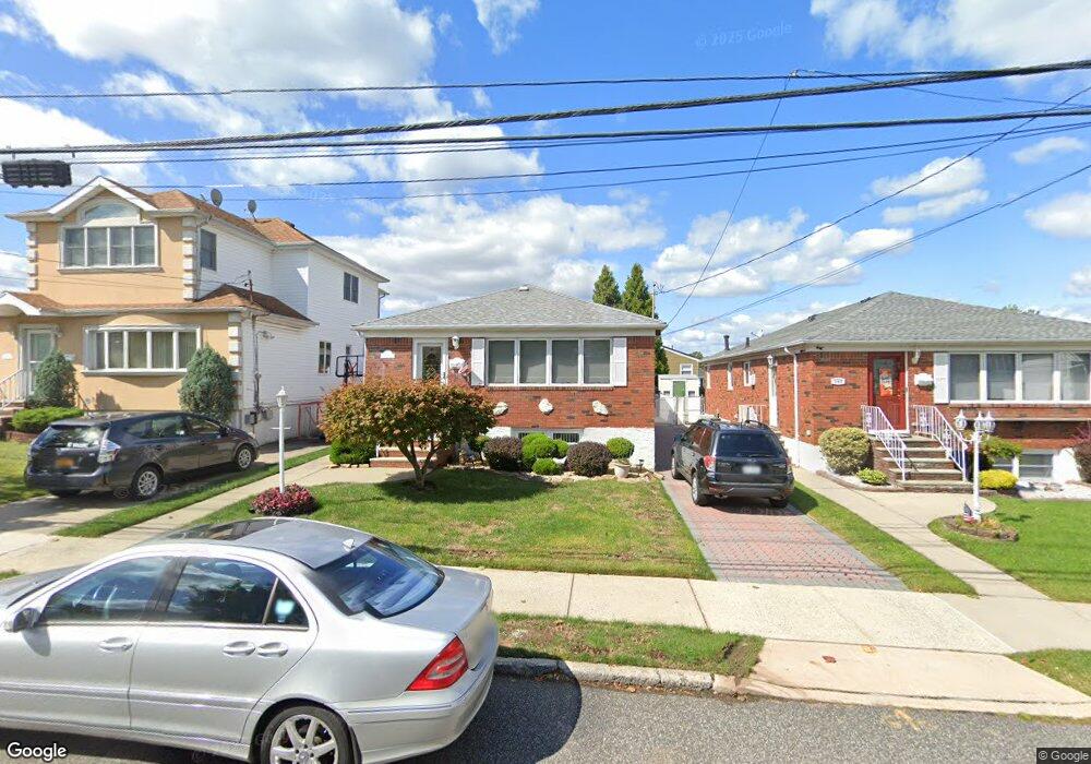
111 Stafford Ave Staten Island, NY 10312
Arden Heights NeighborhoodEstimated Value: $699,516 - $797,000
3
Beds
2
Baths
1,222
Sq Ft
$616/Sq Ft
Est. Value
About This Home
This home is located at 111 Stafford Ave, Staten Island, NY 10312 and is currently estimated at $752,879, approximately $616 per square foot. 111 Stafford Ave is a home located in Richmond County with nearby schools including P.S. 36 - J.C. Drumgoole, I.S. 075 Frank D. Paulo, and Tottenville High School.
Ownership History
Date
Name
Owned For
Owner Type
Purchase Details
Closed on
Nov 14, 2018
Sold by
Mineo Frances
Bought by
Alessamdro Marianne D and Curella Jacqueline
Current Estimated Value
Purchase Details
Closed on
Nov 19, 2012
Sold by
Dalessandro Anthony C and Dalessandro Marianne
Bought by
Mineo Frances
Purchase Details
Closed on
Jul 2, 2001
Sold by
Perrelli Anthony J and Perrelli Rose M
Bought by
Dalessandro Anthony C and Dalessandro Marianne
Home Financials for this Owner
Home Financials are based on the most recent Mortgage that was taken out on this home.
Original Mortgage
$200,000
Interest Rate
7.14%
Create a Home Valuation Report for This Property
The Home Valuation Report is an in-depth analysis detailing your home's value as well as a comparison with similar homes in the area
Home Values in the Area
Average Home Value in this Area
Purchase History
| Date | Buyer | Sale Price | Title Company |
|---|---|---|---|
| Alessamdro Marianne D | -- | None Available | |
| Mineo Frances | $499,990 | None Available | |
| Dalessandro Anthony C | $335,000 | Fidelity National Title Ins |
Source: Public Records
Mortgage History
| Date | Status | Borrower | Loan Amount |
|---|---|---|---|
| Previous Owner | Dalessandro Anthony C | $200,000 |
Source: Public Records
Tax History Compared to Growth
Tax History
| Year | Tax Paid | Tax Assessment Tax Assessment Total Assessment is a certain percentage of the fair market value that is determined by local assessors to be the total taxable value of land and additions on the property. | Land | Improvement |
|---|---|---|---|---|
| 2025 | $2,277 | $40,740 | $10,587 | $30,153 |
| 2024 | $2,381 | $37,800 | $10,765 | $27,035 |
| 2023 | $2,105 | $28,565 | $8,682 | $19,883 |
| 2022 | $2,040 | $36,780 | $13,440 | $23,340 |
| 2021 | $2,272 | $35,220 | $13,440 | $21,780 |
| 2020 | $2,171 | $34,500 | $13,440 | $21,060 |
| 2019 | $1,980 | $30,000 | $13,440 | $16,560 |
| 2018 | $1,767 | $23,804 | $12,635 | $11,169 |
| 2017 | $1,780 | $23,804 | $11,039 | $12,765 |
| 2016 | $2,685 | $23,623 | $12,812 | $10,811 |
| 2015 | $2,215 | $22,286 | $10,789 | $11,497 |
| 2014 | $2,215 | $21,025 | $8,838 | $12,187 |
Source: Public Records
Map
Nearby Homes
- 34 Crown Ct
- 610 Woodrow Rd
- 535 Carlton Blvd
- 387 Woodrow Rd
- 0 Sheldon Ave
- 9 Sinclair Ave
- 149 Rensselaer Ave
- 75/79/83 Halpin Ave
- 79 Halpin Ave
- 83 Halpin Ave
- 75 Halpin Ave
- 40 Susanna Ln
- 191 Rensselaer Ave Unit 198
- 48 Linda Ln
- 244 Woehrle Ave
- 352 Grantwood Ave
- 138 Rathbun Ave
- 41 Halpin Ave
- 16 Linda Ln
- 716 Woodrow Rd
- 107 Stafford Ave
- 115 Stafford Ave
- 103 Stafford Ave
- 132 Vineland Ave
- 136 Vineland Ave
- 128 Vineland Ave
- 142 Vineland Ave
- 99 Stafford Ave
- 123 Stafford Ave
- 124 Vineland Ave
- 146 Vineland Ave
- 95 Stafford Ave
- 110 Stafford Ave
- 106 Stafford Ave
- 150 Vineland Ave
- 114 Stafford Ave
- 102 Stafford Ave
- 118 Stafford Ave
- 98 Stafford Ave
- 91 Stafford Ave