111 Sunset Ridge Rd Stafford Springs, CT 06076
Stafford NeighborhoodEstimated Value: $333,018 - $392,000
3
Beds
3
Baths
1,152
Sq Ft
$314/Sq Ft
Est. Value
About This Home
This home is located at 111 Sunset Ridge Rd, Stafford Springs, CT 06076 and is currently estimated at $362,005, approximately $314 per square foot. 111 Sunset Ridge Rd is a home located in Tolland County with nearby schools including Stafford Elementary School, Stafford Middle School, and Stafford High School.
Ownership History
Date
Name
Owned For
Owner Type
Purchase Details
Closed on
Jul 31, 2018
Sold by
Radney Michael N
Bought by
Bobbs Anita
Current Estimated Value
Purchase Details
Closed on
Jun 17, 2008
Sold by
Sandow Donald and Sandow Barbara
Bought by
Radney Michael
Home Financials for this Owner
Home Financials are based on the most recent Mortgage that was taken out on this home.
Original Mortgage
$229,486
Interest Rate
6.13%
Create a Home Valuation Report for This Property
The Home Valuation Report is an in-depth analysis detailing your home's value as well as a comparison with similar homes in the area
Home Values in the Area
Average Home Value in this Area
Purchase History
| Date | Buyer | Sale Price | Title Company |
|---|---|---|---|
| Bobbs Anita | -- | -- | |
| Radney Michael | $231,300 | -- |
Source: Public Records
Mortgage History
| Date | Status | Borrower | Loan Amount |
|---|---|---|---|
| Previous Owner | Radney Michael | $59,555 | |
| Previous Owner | Radney Michael | $229,486 | |
| Previous Owner | Radney Michael | $27,000 |
Source: Public Records
Tax History Compared to Growth
Tax History
| Year | Tax Paid | Tax Assessment Tax Assessment Total Assessment is a certain percentage of the fair market value that is determined by local assessors to be the total taxable value of land and additions on the property. | Land | Improvement |
|---|---|---|---|---|
| 2025 | $7,872 | $136,080 | $28,000 | $108,080 |
| 2024 | $5,251 | $136,080 | $28,000 | $108,080 |
| 2023 | $5,002 | $136,080 | $28,000 | $108,080 |
| 2022 | $4,869 | $136,080 | $28,000 | $108,080 |
| 2021 | $4,753 | $136,080 | $28,000 | $108,080 |
| 2020 | $4,611 | $132,020 | $31,150 | $100,870 |
| 2019 | $4,521 | $129,430 | $31,150 | $98,280 |
| 2018 | $4,434 | $129,430 | $31,150 | $98,280 |
| 2017 | $4,392 | $129,430 | $31,150 | $98,280 |
| 2016 | $4,337 | $129,430 | $31,150 | $98,280 |
| 2015 | $4,337 | $129,430 | $31,150 | $98,280 |
| 2014 | $4,275 | $129,430 | $31,150 | $98,280 |
Source: Public Records
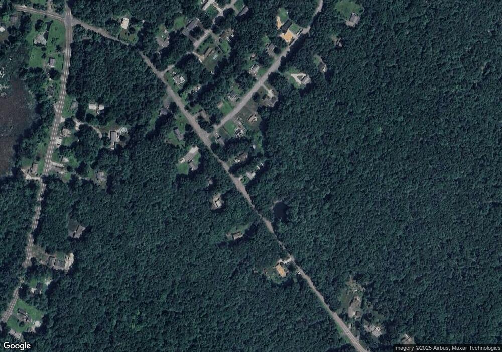
Map
Nearby Homes
- 15 Deepwood Dr
- 10 Laurel Ln
- 81 Monson Rd
- 2 Pinewood Ln
- 4 Pinewood Ln
- 12 Hillcrest Dr
- 8 Gale Rd
- 4 Leonard Rd
- 105 Leonard Rd
- 14 Valley View Dr
- 200 Orcuttville Rd
- 97 Orcuttville Rd
- 192 Leonard Rd
- 19 Potter Rd
- 336 East St
- 28 Fluery Dr
- 0 Stony Ln
- 107 Hydeville Rd
- 13 Goodell Rd
- 0 Rockledge Rd Unit 24131563
- 111 Sunset Ridge Rd
- 113 Sunset Ridge Rd
- 112 Sunset Ridge Rd
- 112 Sunset Ridge Rd
- 1 Deepwood Dr
- 108 Sunset Ridge Rd
- 115 Sunset Ridge Rd
- 3 Deepwood Dr
- 114 Sunset Ridge Rd
- 104 Sunset Ridge Rd
- 117 Sunset Ridge Rd
- 5 Deepwood Dr
- 2 Deepwood Dr
- 4 Deepwood Dr
- 116 Sunset Ridge Rd
- 119 Sunset Ridge Rd
- 6 Deepwood Dr
- 124 Sunset Ridge Rd Unit B
- 124 Sunset Ridge Rd
- 124 Sunset Ridge Rd Unit A