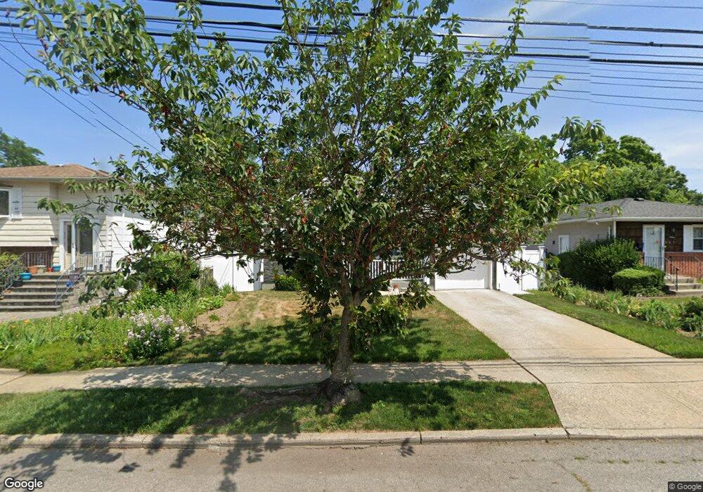
111 Woodside Ave Freeport, NY 11520
Estimated Value: $497,000 - $540,272
--
Bed
2
Baths
1,126
Sq Ft
$461/Sq Ft
Est. Value
About This Home
This home is located at 111 Woodside Ave, Freeport, NY 11520 and is currently estimated at $518,636, approximately $460 per square foot. 111 Woodside Ave is a home located in Nassau County with nearby schools including Roosevelt Middle School, Roosevelt High School, and Roosevelt Children's Academy.
Ownership History
Date
Name
Owned For
Owner Type
Purchase Details
Closed on
Jul 26, 2023
Sold by
Bradley Genell L and Bradley Dexter
Bought by
Bradley Genell L
Current Estimated Value
Purchase Details
Closed on
Feb 13, 2009
Sold by
Bradley Dexter
Bought by
Bradley Dexter and Bradley Genell L
Purchase Details
Closed on
Jun 17, 1996
Sold by
Long Island Partnership Housin G Development
Bought by
Bradley Dexter
Home Financials for this Owner
Home Financials are based on the most recent Mortgage that was taken out on this home.
Original Mortgage
$25,000
Outstanding Balance
$1,605
Interest Rate
8.05%
Mortgage Type
Purchase Money Mortgage
Estimated Equity
$517,031
Create a Home Valuation Report for This Property
The Home Valuation Report is an in-depth analysis detailing your home's value as well as a comparison with similar homes in the area
Home Values in the Area
Average Home Value in this Area
Purchase History
| Date | Buyer | Sale Price | Title Company |
|---|---|---|---|
| Bradley Genell L | -- | None Available | |
| Bradley Genell L | -- | None Available | |
| Bradley Dexter | -- | Fidelity National Title | |
| Bradley Dexter | -- | Fidelity National Title | |
| Bradley Dexter | $118,155 | -- | |
| Bradley Dexter | $118,155 | -- |
Source: Public Records
Mortgage History
| Date | Status | Borrower | Loan Amount |
|---|---|---|---|
| Open | Bradley Dexter | $25,000 | |
| Closed | Bradley Dexter | $25,000 |
Source: Public Records
Tax History Compared to Growth
Tax History
| Year | Tax Paid | Tax Assessment Tax Assessment Total Assessment is a certain percentage of the fair market value that is determined by local assessors to be the total taxable value of land and additions on the property. | Land | Improvement |
|---|---|---|---|---|
| 2025 | $6,073 | $361 | $125 | $236 |
| 2024 | $718 | $361 | $125 | $236 |
| 2023 | $4,894 | $361 | $125 | $236 |
| 2022 | $4,894 | $360 | $125 | $235 |
| 2021 | $7,033 | $340 | $118 | $222 |
| 2020 | $5,693 | $581 | $318 | $263 |
| 2019 | $5,659 | $581 | $318 | $263 |
| 2018 | $5,401 | $581 | $0 | $0 |
| 2017 | $4,154 | $581 | $318 | $263 |
| 2016 | $4,919 | $581 | $318 | $263 |
| 2015 | $731 | $581 | $318 | $263 |
| 2014 | $731 | $581 | $318 | $263 |
| 2013 | $693 | $581 | $318 | $263 |
Source: Public Records
Map
Nearby Homes
- 93 Woodside Ave
- 110 Woodside Ave
- 54 Westfield Ave
- 72 Woodside Ave
- 400 N Columbus Ave
- 28 Cumberland Ave
- 184 Independence Ave
- 19 Bennett Ave
- 92 Leonard Ave
- 238 Babylon Turnpike
- 272 N Columbus Ave
- 259 N Columbus Ave
- 171 Ellison Ave
- 32 Dawes Ave
- 110 Saint Francis St
- 94 Underhill Ave
- 173 E Seaman Ave
- 114 Frederick Ave
- 112 E Seaman Ave
- 451 Babylon Turnpike
- 107 Woodside Ave
- 117 Woodside Ave
- 15 Westfield Ave
- 103 Woodside Ave
- 119 Woodside Ave
- 36 Powell St
- 19 Westfield Ave
- 40 Powell St
- 112 Woodside Ave
- 116 Woodside Ave
- 25 Westfield Ave
- 108 Woodside Ave
- 131 Woodside Ave
- 120 Woodside Ave
- 20 Powell St
- 132 Forest Ave
- 128 Forest Ave
- 128 Woodside Ave
- 124 Forest Ave
- 133 Woodside Ave