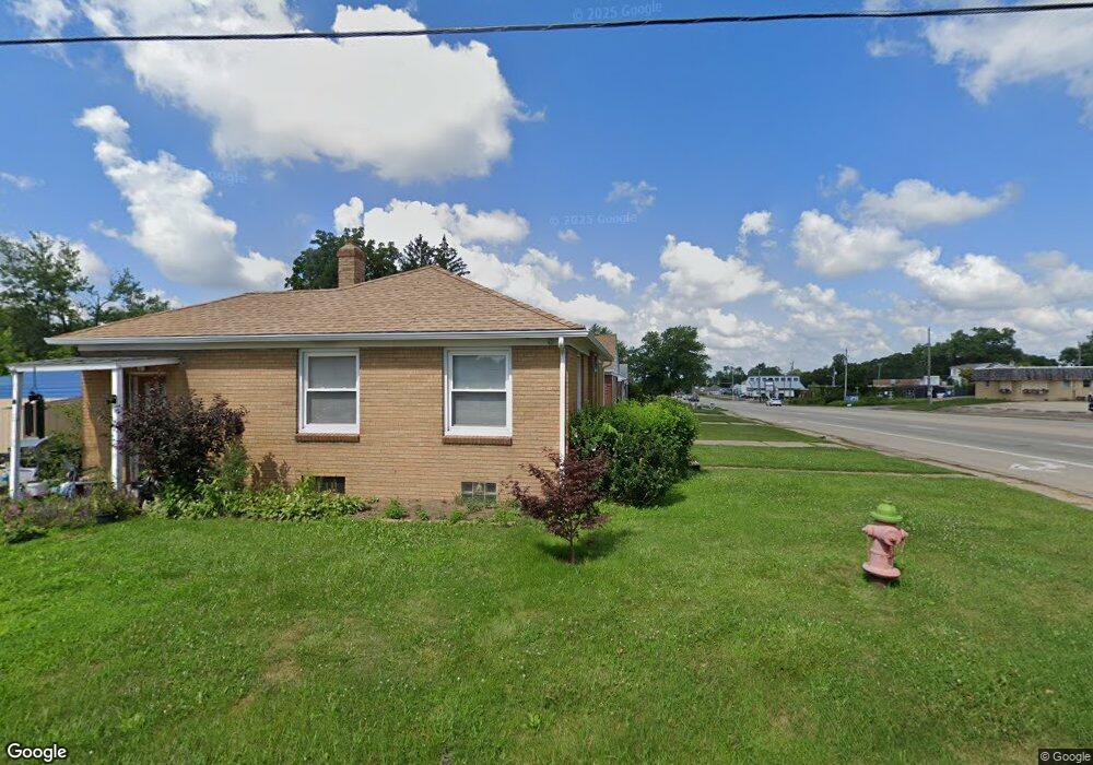
1110 E War Memorial Dr Peoria Heights, IL 61616
Estimated Value: $96,305 - $122,000
2
Beds
1
Bath
798
Sq Ft
$132/Sq Ft
Est. Value
About This Home
This home is located at 1110 E War Memorial Dr, Peoria Heights, IL 61616 and is currently estimated at $105,326, approximately $131 per square foot. 1110 E War Memorial Dr is a home with nearby schools including Peoria Heights Grade School, Peoria Heights High School, and St Thomas Catholic School.
Ownership History
Date
Name
Owned For
Owner Type
Purchase Details
Closed on
Aug 27, 2015
Sold by
Grebner Ronald H
Bought by
Bennett Gregory and Bennett Mailene
Current Estimated Value
Purchase Details
Closed on
Nov 12, 1999
Bought by
Grebner Ronald H
Create a Home Valuation Report for This Property
The Home Valuation Report is an in-depth analysis detailing your home's value as well as a comparison with similar homes in the area
Home Values in the Area
Average Home Value in this Area
Purchase History
| Date | Buyer | Sale Price | Title Company |
|---|---|---|---|
| Bennett Gregory | $55,000 | Woodford Cnty Title Co | |
| Grebner Ronald H | $58,000 | -- |
Source: Public Records
Mortgage History
| Date | Status | Borrower | Loan Amount |
|---|---|---|---|
| Closed | Bennett Gregory | $20,000 |
Source: Public Records
Tax History Compared to Growth
Tax History
| Year | Tax Paid | Tax Assessment Tax Assessment Total Assessment is a certain percentage of the fair market value that is determined by local assessors to be the total taxable value of land and additions on the property. | Land | Improvement |
|---|---|---|---|---|
| 2024 | $2,482 | $29,060 | $4,490 | $24,570 |
| 2023 | $2,389 | $26,660 | $4,120 | $22,540 |
| 2022 | $1,896 | $20,670 | $4,330 | $16,340 |
| 2021 | $1,838 | $19,680 | $4,120 | $15,560 |
| 2020 | $1,878 | $19,290 | $4,040 | $15,250 |
| 2019 | $1,870 | $19,290 | $4,040 | $15,250 |
| 2018 | $1,803 | $18,710 | $3,920 | $14,790 |
| 2017 | $1,827 | $19,090 | $4,000 | $15,090 |
| 2016 | $1,791 | $19,090 | $4,000 | $15,090 |
| 2015 | $1,984 | $19,090 | $4,000 | $15,090 |
| 2014 | $2,007 | $21,380 | $3,850 | $17,530 |
| 2013 | -- | $21,490 | $3,870 | $17,620 |
Source: Public Records
Map
Nearby Homes
- 512 E Paris Ave
- 1012 E Paris Ave
- 1312 E Wilson Ave
- 1411 E Tripp Ave Unit 2
- 3923 N Illinois Ave
- 3824 N Dayton Ave
- 1410 E Fairoaks Ave
- 4100 N Illinois Ave
- 1601 E London Ave
- 915 E Elmhurst Ave
- 1216 E Rouse Ave
- 4012 N Boulevard Ave
- 4021 N Boulevard Ave
- 1000 E Forrest Hill Ave
- 903 E Lake Ave
- 511 E Pasadena Ave
- 904 E Forrest Hill Ave
- 810 E Sciota Ave
- 3206 N Indiana Ave
- 908 E Melbourne Ave
- 1106 E War Memorial Dr
- 708 E War Memorial Dr
- 1104 E War Memorial Dr
- 1100 E War Memorial Dr
- 1111 E Paris Ave
- 1107 E Paris Ave
- 1105 E Paris Ave
- 1028 E War Memorial Dr
- 1101 E Paris Ave
- 1024 E War Memorial Dr
- 1027 E Paris Ave
- 3709 N Atlantic Ave
- 1020 E War Memorial Dr
- 1025 E Paris Ave
- 3708 N Atlantic Ave
- 3713 N Atlantic Ave
- 1018 E War Memorial Dr
- 3712 N Atlantic Ave
- 1021 E Paris Ave
- 3710 N Faber Ave