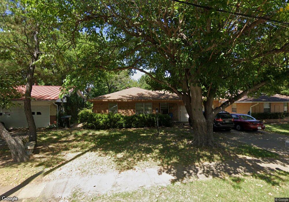
1110 N Grant Dr Sherman, TX 75092
Estimated Value: $202,258 - $268,000
3
Beds
2
Baths
1,443
Sq Ft
$163/Sq Ft
Est. Value
About This Home
This home is located at 1110 N Grant Dr, Sherman, TX 75092 and is currently estimated at $235,129, approximately $162 per square foot. 1110 N Grant Dr is a home located in Grayson County with nearby schools including Wakefield Elementary School, Piner Middle School, and Dillingham Intermediate School.
Ownership History
Date
Name
Owned For
Owner Type
Purchase Details
Closed on
Jan 12, 2011
Sold by
Lively Jean Stone
Bought by
Quad Holdings 1 Llc
Current Estimated Value
Home Financials for this Owner
Home Financials are based on the most recent Mortgage that was taken out on this home.
Original Mortgage
$65,000
Outstanding Balance
$43,588
Interest Rate
4.44%
Mortgage Type
Construction
Estimated Equity
$191,541
Create a Home Valuation Report for This Property
The Home Valuation Report is an in-depth analysis detailing your home's value as well as a comparison with similar homes in the area
Home Values in the Area
Average Home Value in this Area
Purchase History
| Date | Buyer | Sale Price | Title Company |
|---|---|---|---|
| Quad Holdings 1 Llc | -- | Security Title |
Source: Public Records
Mortgage History
| Date | Status | Borrower | Loan Amount |
|---|---|---|---|
| Open | Quad Holdings 1 Llc | $65,000 |
Source: Public Records
Tax History Compared to Growth
Tax History
| Year | Tax Paid | Tax Assessment Tax Assessment Total Assessment is a certain percentage of the fair market value that is determined by local assessors to be the total taxable value of land and additions on the property. | Land | Improvement |
|---|---|---|---|---|
| 2025 | $3,736 | $172,439 | $60,312 | $112,127 |
| 2024 | $3,736 | $170,342 | $60,144 | $110,198 |
| 2023 | $4,026 | $183,360 | $50,064 | $133,296 |
| 2022 | $3,764 | $160,608 | $46,452 | $114,156 |
| 2021 | $3,735 | $149,000 | $44,016 | $104,984 |
| 2020 | $2,359 | $89,898 | $22,680 | $67,218 |
| 2019 | $2,280 | $84,592 | $10,164 | $74,428 |
| 2018 | $1,850 | $73,752 | $7,980 | $65,772 |
| 2017 | $1,788 | $71,840 | $7,980 | $63,860 |
| 2016 | $1,852 | $74,417 | $7,980 | $66,437 |
| 2015 | $1,664 | $66,971 | $7,980 | $58,991 |
| 2014 | $1,676 | $67,446 | $7,980 | $59,466 |
Source: Public Records
Map
Nearby Homes
- 1818 W Belden St
- 1006 N Grant Dr
- 1805 W Belden St
- 1203 Blanton Place
- 1711 W Birge St
- 1800 W McGee St
- 1704 W Birge St
- 1705 W Belden St
- 1700 W Belden St
- 1706 W College St
- 1500 N Grant Dr Unit A and B
- 1701 W College St
- 1418 Blanton Place
- 1003 Blanton Dr
- 1016 Crestview Dr
- 717 Blanton Dr
- 1008 Western Hills Dr
- 512 Courtney Dr
- 2129 Gabriel Dr
- 2134 Wyldewood Way
- 1106 N Grant Dr
- 1114 N Grant Dr
- 1102 N Grant Dr
- 1116 N Grant Dr
- 1103 N Grant Dr
- 1819 W Birge St
- 1200 N Grant Dr
- 1016 N Grant Dr
- 1204 N Grant Dr
- 1817 W Birge St
- 1816 W Hunt St
- 1010 N Grant Dr
- 1818 W Birge St
- 1819 W Hunt St
- 1208 N Grant Dr
- 1814 W Hunt St
- 1815 W Birge St
- 1816 W Birge St
- 1212 N Grant Dr
- 1817 W Hunt St