1116 Decatur St Foster City, CA 94404
Harbor Side NeighborhoodEstimated Value: $2,491,416 - $3,098,000
4
Beds
3
Baths
2,790
Sq Ft
$1,008/Sq Ft
Est. Value
About This Home
This home is located at 1116 Decatur St, Foster City, CA 94404 and is currently estimated at $2,812,854, approximately $1,008 per square foot. 1116 Decatur St is a home located in San Mateo County with nearby schools including Foster City Elementary School, Bowditch Middle School, and San Mateo High School.
Ownership History
Date
Name
Owned For
Owner Type
Purchase Details
Closed on
Jun 16, 2021
Sold by
Frederick Janks Jerold
Bought by
Janks 1995 Trust
Current Estimated Value
Purchase Details
Closed on
May 24, 2021
Sold by
Janks Gail S and Janks 1995 Trust
Bought by
Janks Gail S and Janks Power Of Appointment Tru
Purchase Details
Closed on
Oct 24, 1995
Sold by
Janks Jerold F and Janks Gail S
Bought by
Janks Jerold F and Janks Gail S
Create a Home Valuation Report for This Property
The Home Valuation Report is an in-depth analysis detailing your home's value as well as a comparison with similar homes in the area
Home Values in the Area
Average Home Value in this Area
Purchase History
| Date | Buyer | Sale Price | Title Company |
|---|---|---|---|
| Janks 1995 Trust | -- | -- | |
| Janks Gail S | -- | None Available | |
| Janks Jerold F | -- | -- |
Source: Public Records
Tax History Compared to Growth
Tax History
| Year | Tax Paid | Tax Assessment Tax Assessment Total Assessment is a certain percentage of the fair market value that is determined by local assessors to be the total taxable value of land and additions on the property. | Land | Improvement |
|---|---|---|---|---|
| 2025 | $3,687 | $331,496 | $46,182 | $285,314 |
| 2023 | $3,687 | $318,626 | $44,390 | $274,236 |
| 2022 | $3,566 | $312,379 | $43,520 | $268,859 |
| 2021 | $3,521 | $306,255 | $42,667 | $263,588 |
| 2020 | $3,424 | $303,116 | $42,230 | $260,886 |
| 2019 | $3,240 | $297,173 | $41,402 | $255,771 |
| 2018 | $3,183 | $291,347 | $40,591 | $250,756 |
| 2017 | $3,146 | $285,636 | $39,796 | $245,840 |
| 2016 | $3,071 | $280,036 | $39,016 | $241,020 |
| 2015 | $2,999 | $275,830 | $38,430 | $237,400 |
| 2014 | $2,922 | $270,428 | $37,678 | $232,750 |
Source: Public Records
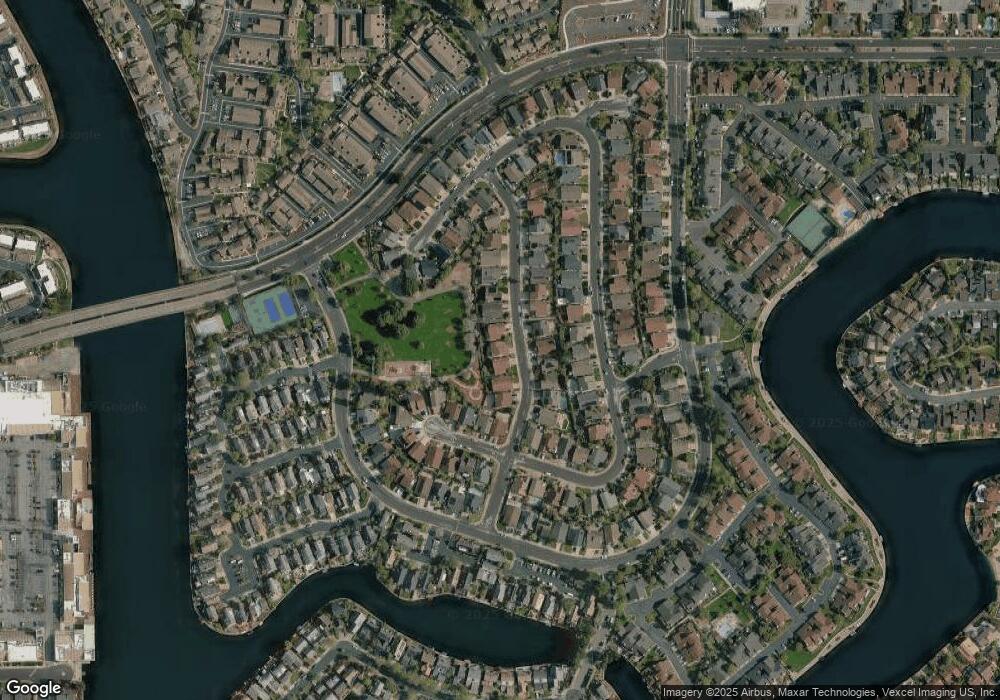
Map
Nearby Homes
- 619 Mystic Ln
- 851 Peary Ln
- 803 Peary Ln
- 971 Marquette Ln
- 879 Carina Ln
- 1017 Shell Blvd Unit 12
- 1041 Shell Blvd Unit 8
- 986 Cartier Ln
- 707 Santa Cruz Ln
- 851 Cabot Ln
- 801 Ram Ln
- 822 Magellan Ln
- 910 Beach Park Blvd Unit 106
- 910 Beach Park Blvd Unit 97
- 825 Cortez Ln
- 917 Laguna Cir
- 803 Balboa Ln
- 831 Balboa Ln Unit 10DR
- 617 Portofino Ln
- 614 Portofino Ln
- 1118 Decatur St
- 1120 Decatur St
- 1112 Decatur St
- 1119 Decatur St
- 1117 Decatur St
- 1122 Decatur St
- 1121 Decatur St
- 1110 Decatur St
- 1115 Decatur St
- 1123 Decatur St
- 1113 Decatur St
- 1156 Blythe St
- 1154 Blythe St
- 1152 Blythe St
- 1108 Decatur St
- 1158 Blythe St
- 1125 Decatur St
- 1150 Blythe St
- 1122 Blythe St
- 1124 Blythe St