Estimated Value: $161,012 - $261,000
--
Bed
1
Bath
1,188
Sq Ft
$185/Sq Ft
Est. Value
About This Home
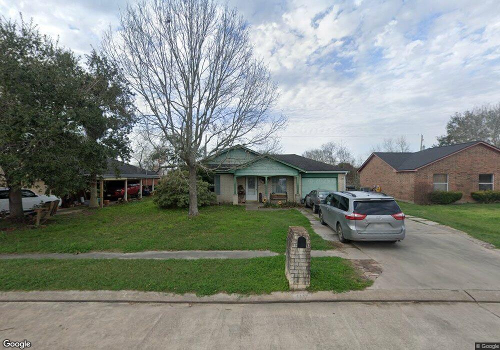
This home is located at 1117 Ben Dr, Alvin, TX 77511 and is currently estimated at $220,003, approximately $185 per square foot. 1117 Ben Dr is a home located in Brazoria County with nearby schools including R.L. Stevenson Primary School, Alvin Junior High School, and Alvin High School.
Ownership History
Date
Name
Owned For
Owner Type
Purchase Details
Closed on
Aug 27, 2003
Sold by
Habitat For Humanity Of Alvin Friendswoo
Bought by
Anglin Karen M
Current Estimated Value
Home Financials for this Owner
Home Financials are based on the most recent Mortgage that was taken out on this home.
Original Mortgage
$45,000
Interest Rate
6.08%
Mortgage Type
Seller Take Back
Create a Home Valuation Report for This Property
The Home Valuation Report is an in-depth analysis detailing your home's value as well as a comparison with similar homes in the area
Home Values in the Area
Average Home Value in this Area
Purchase History
| Date | Buyer | Sale Price | Title Company |
|---|---|---|---|
| Anglin Karen M | -- | Stewart Title |
Source: Public Records
Mortgage History
| Date | Status | Borrower | Loan Amount |
|---|---|---|---|
| Previous Owner | Anglin Karen M | $45,000 | |
| Closed | Anglin Karen M | $5,000 |
Source: Public Records
Tax History Compared to Growth
Tax History
| Year | Tax Paid | Tax Assessment Tax Assessment Total Assessment is a certain percentage of the fair market value that is determined by local assessors to be the total taxable value of land and additions on the property. | Land | Improvement |
|---|---|---|---|---|
| 2025 | $1,739 | $130,090 | $13,150 | $116,940 |
| 2023 | $1,739 | $131,480 | $13,150 | $118,330 |
| 2022 | $3,518 | $128,260 | $13,150 | $115,110 |
| 2021 | $3,549 | $122,930 | $15,780 | $107,150 |
| 2020 | $3,598 | $122,930 | $15,780 | $107,150 |
| 2019 | $3,544 | $117,990 | $13,150 | $104,840 |
| 2018 | $3,498 | $117,990 | $13,150 | $104,840 |
| 2017 | $3,220 | $107,820 | $11,440 | $96,380 |
| 2016 | $2,928 | $107,820 | $11,440 | $96,380 |
| 2015 | $2,109 | $100,110 | $11,440 | $88,670 |
| 2014 | $2,109 | $100,770 | $11,440 | $89,330 |
Source: Public Records
Map
Nearby Homes
- 610 Linda Ln
- 607 Debbie Ln
- 3925 Larkspur St
- 3810 Westglen Dr
- 300 Mustang Rd
- 394 Sherandoe Ln
- 1145 Westglen Dr
- 00 Highway 6
- 1751 Rosharon Rd
- 0 W Highway 6 Unit 68293296
- 369 Windsor Square
- 4800 Heathrow Ln
- 3221 County Road 890
- 4850 Heathrow Ln
- 00 County Road 424
- 201 W Timberlane Dr
- 111 Fairway Dr
- 3200 Fairway Dr
- 3111 Paso Fino Dr
- 2108 County Road 740