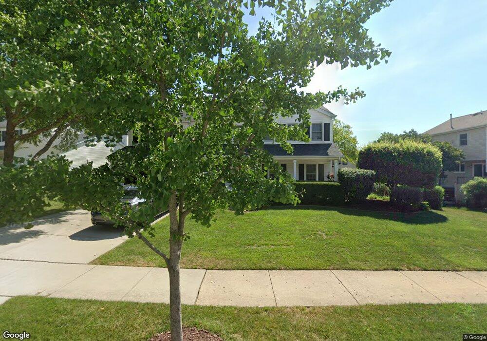
1117 Tyler Dr Schaumburg, IL 60193
South Schaumburg NeighborhoodEstimated Value: $584,847 - $642,000
4
Beds
2
Baths
2,554
Sq Ft
$243/Sq Ft
Est. Value
About This Home
This home is located at 1117 Tyler Dr, Schaumburg, IL 60193 and is currently estimated at $621,462, approximately $243 per square foot. 1117 Tyler Dr is a home located in Cook County with nearby schools including Michael Collins Elementary School, Robert Frost Junior High School, and J B Conant High School.
Ownership History
Date
Name
Owned For
Owner Type
Purchase Details
Closed on
Jul 12, 2011
Sold by
Dawson Gregory D and Dawson Katherine M
Bought by
Dawson Gregory D and Dawson Katherine M
Current Estimated Value
Home Financials for this Owner
Home Financials are based on the most recent Mortgage that was taken out on this home.
Original Mortgage
$127,000
Interest Rate
4.52%
Mortgage Type
New Conventional
Purchase Details
Closed on
Mar 30, 2007
Sold by
Dawson Gregory D and Dawson Katherine M
Bought by
Dawson Gregory D and Dawson Katherine M
Create a Home Valuation Report for This Property
The Home Valuation Report is an in-depth analysis detailing your home's value as well as a comparison with similar homes in the area
Home Values in the Area
Average Home Value in this Area
Purchase History
| Date | Buyer | Sale Price | Title Company |
|---|---|---|---|
| Dawson Gregory D | -- | Republic Title Co | |
| Dawson Gregory D | -- | None Available |
Source: Public Records
Mortgage History
| Date | Status | Borrower | Loan Amount |
|---|---|---|---|
| Closed | Dawson Gregory D | $127,000 |
Source: Public Records
Tax History Compared to Growth
Tax History
| Year | Tax Paid | Tax Assessment Tax Assessment Total Assessment is a certain percentage of the fair market value that is determined by local assessors to be the total taxable value of land and additions on the property. | Land | Improvement |
|---|---|---|---|---|
| 2024 | $10,093 | $42,000 | $11,129 | $30,871 |
| 2023 | $9,736 | $42,000 | $11,129 | $30,871 |
| 2022 | $9,736 | $42,000 | $11,129 | $30,871 |
| 2021 | $9,479 | $37,269 | $6,070 | $31,199 |
| 2020 | $9,438 | $37,269 | $6,070 | $31,199 |
| 2019 | $9,445 | $41,410 | $6,070 | $35,340 |
| 2018 | $9,223 | $36,915 | $5,311 | $31,604 |
| 2017 | $9,907 | $36,915 | $5,311 | $31,604 |
| 2016 | $9,507 | $36,915 | $5,311 | $31,604 |
| 2015 | $9,012 | $32,748 | $4,552 | $28,196 |
| 2014 | $8,930 | $32,748 | $4,552 | $28,196 |
| 2013 | $8,683 | $32,748 | $4,552 | $28,196 |
Source: Public Records
Map
Nearby Homes
- 1205 Laurel Ln
- 286 Nantucket Harbor Unit 601
- 125 Manchester Ct Unit 32A
- 1078 Newport Harbor Unit 6101
- 1323 S Roselle Rd
- 1100 Boston Harbor Unit 7004
- 13 W Monterey Ave
- 421 E Wise Rd
- 1420 Indian Hill Dr
- 211 Steeple Bush Ln Unit 10343
- 205 Steeple Bush Ln Unit 10444
- 717 Tipperary Ct Unit 1C
- 134 Lunt Ave
- 733 Limerick Ln Unit 7333D
- 727 Killarney Ct Unit 2D
- 712 Tipperary Ct Unit 1C
- 711 Tipperary Ct Unit 2D
- 1531 Marion St
- 731 Highpoint Ct
- 1342 Lunt Ct Unit 56