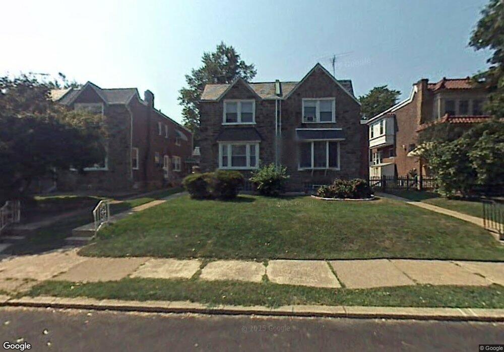
1118 Kenwyn St Philadelphia, PA 19124
Frankford NeighborhoodEstimated Value: $232,000 - $294,018
3
Beds
3
Baths
1,768
Sq Ft
$153/Sq Ft
Est. Value
About This Home
This home is located at 1118 Kenwyn St, Philadelphia, PA 19124 and is currently estimated at $271,005, approximately $153 per square foot. 1118 Kenwyn St is a home located in Philadelphia County with nearby schools including Frankford High School, The Philadelphia Charter School for the Arts & Sciences, and Northwood Academy Charter School.
Ownership History
Date
Name
Owned For
Owner Type
Purchase Details
Closed on
Jan 25, 2018
Sold by
Garcia Carmen R
Bought by
Garcia Carmen R and Aburto Garcia Christopher Emilio
Current Estimated Value
Purchase Details
Closed on
May 7, 2009
Sold by
Deutsche Bank National Trust Company
Bought by
Garcia Carmen R
Purchase Details
Closed on
Oct 15, 2007
Sold by
Scott Mark Elliot
Bought by
Deutsche Bank National Trust Co and Morgan Stanley Loan Trust 2006-Nc2
Purchase Details
Closed on
Apr 29, 1999
Sold by
Kochanowicz Gregory and Kochanowicz Rosemary G
Bought by
Scott Mark
Create a Home Valuation Report for This Property
The Home Valuation Report is an in-depth analysis detailing your home's value as well as a comparison with similar homes in the area
Home Values in the Area
Average Home Value in this Area
Purchase History
| Date | Buyer | Sale Price | Title Company |
|---|---|---|---|
| Garcia Carmen R | -- | None Available | |
| Garcia Carmen R | $55,000 | None Available | |
| Deutsche Bank National Trust Co | $70,000 | None Available | |
| Scott Mark | $76,500 | -- |
Source: Public Records
Tax History Compared to Growth
Tax History
| Year | Tax Paid | Tax Assessment Tax Assessment Total Assessment is a certain percentage of the fair market value that is determined by local assessors to be the total taxable value of land and additions on the property. | Land | Improvement |
|---|---|---|---|---|
| 2026 | $3,291 | $263,600 | $52,720 | $210,880 |
| 2025 | $3,291 | $263,600 | $52,720 | $210,880 |
| 2024 | $3,291 | $263,600 | $52,720 | $210,880 |
| 2023 | $3,291 | $235,100 | $47,020 | $188,080 |
| 2022 | $2,471 | $235,100 | $47,020 | $188,080 |
| 2021 | $2,471 | $0 | $0 | $0 |
| 2020 | $2,471 | $0 | $0 | $0 |
| 2019 | $2,371 | $0 | $0 | $0 |
| 2018 | $2,287 | $0 | $0 | $0 |
| 2017 | $2,287 | $0 | $0 | $0 |
| 2016 | $2,287 | $0 | $0 | $0 |
| 2015 | $2,190 | $0 | $0 | $0 |
| 2014 | -- | $163,400 | $42,412 | $120,988 |
| 2012 | -- | $21,248 | $2,234 | $19,014 |
Source: Public Records
Map
Nearby Homes
- 1204 Pratt St
- 1218 Pratt St
- 1220 Pratt St
- 1137 Bridge St
- 5118 Oakland St
- 1048 Bridge St
- 1208 Haworth St
- 1214 Haworth St
- 1052 Allengrove St
- 5033 Akron St
- 5241 Akron St
- 5347 Sylvester St
- 5304 Akron St
- 1244 E Sanger St
- 5244 Saul St
- 1359 Dyre St
- 5300 Saul St
- 1859 Harrison St
- 5345 Akron St
- 1300 Harrison St