112 Kaukis Dr Le Sueur, MN 56058
Estimated Value: $318,000 - $500,000
4
Beds
3
Baths
1,471
Sq Ft
$255/Sq Ft
Est. Value
About This Home
This home is located at 112 Kaukis Dr, Le Sueur, MN 56058 and is currently estimated at $375,455, approximately $255 per square foot. 112 Kaukis Dr is a home located in Le Sueur County with nearby schools including Park Elementary School, Hilltop Elementary School, and Le Sueur-Henderson High School.
Ownership History
Date
Name
Owned For
Owner Type
Purchase Details
Closed on
Jun 15, 2012
Sold by
Pfarr Leroy H and Pfarr Diane R
Bought by
Pfarr Peter L and Pfarr Stacy M
Current Estimated Value
Home Financials for this Owner
Home Financials are based on the most recent Mortgage that was taken out on this home.
Original Mortgage
$94,000
Outstanding Balance
$13,304
Interest Rate
3.05%
Mortgage Type
Purchase Money Mortgage
Estimated Equity
$362,151
Create a Home Valuation Report for This Property
The Home Valuation Report is an in-depth analysis detailing your home's value as well as a comparison with similar homes in the area
Home Values in the Area
Average Home Value in this Area
Purchase History
| Date | Buyer | Sale Price | Title Company |
|---|---|---|---|
| Pfarr Peter L | $160,000 | -- | |
| Pfarr Peter L | -- | -- |
Source: Public Records
Mortgage History
| Date | Status | Borrower | Loan Amount |
|---|---|---|---|
| Open | Pfarr Peter L | $94,000 | |
| Closed | Pfarr Peter L | $94,000 |
Source: Public Records
Tax History Compared to Growth
Tax History
| Year | Tax Paid | Tax Assessment Tax Assessment Total Assessment is a certain percentage of the fair market value that is determined by local assessors to be the total taxable value of land and additions on the property. | Land | Improvement |
|---|---|---|---|---|
| 2025 | $5,552 | $331,000 | $48,000 | $283,000 |
| 2024 | $5,466 | $331,000 | $48,000 | $283,000 |
| 2023 | $5,324 | $327,300 | $48,000 | $279,300 |
| 2022 | $4,260 | $309,500 | $48,000 | $261,500 |
| 2021 | $3,856 | $251,900 | $43,000 | $208,900 |
| 2020 | $3,694 | $242,900 | $43,000 | $199,900 |
| 2019 | $3,042 | $217,800 | $40,023 | $177,777 |
| 2018 | $3,027 | $171,400 | $29,552 | $141,848 |
| 2017 | $2,819 | $158,100 | $29,114 | $128,986 |
| 2016 | $2,608 | $148,100 | $28,749 | $119,351 |
| 2015 | $2,593 | $148,100 | $28,749 | $119,351 |
| 2014 | $2,419 | $141,700 | $28,478 | $113,222 |
| 2013 | $2,076 | $124,000 | $28,506 | $95,494 |
Source: Public Records
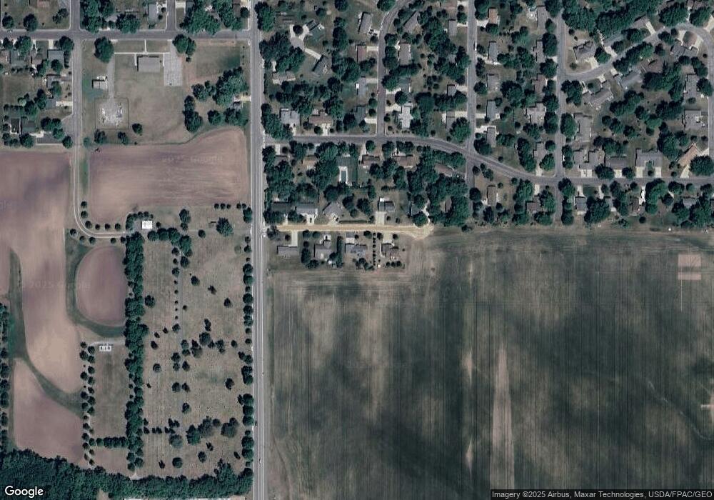
Map
Nearby Homes
- 417 S Park Ln
- 417 Coventry Rd
- 263 Plum Run Unit 1
- 209 Hillcrest Way
- Majestic Plan at Ridge Road Development
- St James Plan at Ridge Road Development
- Bellefonte Plan at Ridge Road Development
- St. Croix Plan at Ridge Road Development
- Oakwood Plan at Ridge Road Development
- Madison Plan at Ridge Road Development
- Poplar Plan at Ridge Road Development
- St Charles Plan at Ridge Road Development
- Cottonwood II Plan at Ridge Road Development
- Everleigh Plan at Ridge Road Development
- Marquette Plan at Ridge Road Development
- Enclave II Plan at Ridge Road Development
- Boardwalk Plan at Ridge Road Development
- Illinois Plan at Ridge Road Development
- Oakwood II Plan at Ridge Road Development
- Summerlyn Plan at Ridge Road Development
- 116 Kaukis Dr
- 108 Kaukis Dr
- 107 Kaukis Dr
- 109 109 Kaukis Dr
- 109 Kaukis Dr
- 105 Kaukis Dr
- 104 Kaukis Dr
- 115 Kaukis Dr
- 150 Coventry Rd
- 146 Coventry Rd
- 101 Kaukis Dr
- 154 Coventry Rd
- 142 Coventry Rd
- 505 S Park Ln
- 138 Coventry Rd
- 158 Coventry Rd
- 142 Woodcrest Terrace
- 500 S Park Ln
- 429 S Park Ln
- 137 Coventry Rd