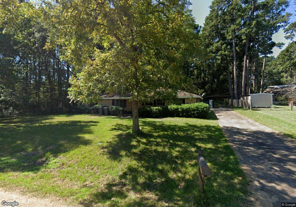
112 Norris St Lufkin, TX 75904
Estimated Value: $153,537 - $183,000
--
Bed
8
Baths
1,628
Sq Ft
$107/Sq Ft
Est. Value
About This Home
This home is located at 112 Norris St, Lufkin, TX 75904 and is currently estimated at $174,134, approximately $106 per square foot. 112 Norris St is a home located in Angelina County with nearby schools including Trout Primary School, Brookhollow Elementary School, and Lufkin Middle School.
Ownership History
Date
Name
Owned For
Owner Type
Purchase Details
Closed on
Dec 1, 2005
Sold by
Johnson Gene E and Johnson Rose M
Bought by
Patel Kiritkumar R
Current Estimated Value
Home Financials for this Owner
Home Financials are based on the most recent Mortgage that was taken out on this home.
Original Mortgage
$72,900
Interest Rate
6.06%
Mortgage Type
New Conventional
Create a Home Valuation Report for This Property
The Home Valuation Report is an in-depth analysis detailing your home's value as well as a comparison with similar homes in the area
Home Values in the Area
Average Home Value in this Area
Purchase History
| Date | Buyer | Sale Price | Title Company |
|---|---|---|---|
| Patel Kiritkumar R | $72,900 | None Available |
Source: Public Records
Mortgage History
| Date | Status | Borrower | Loan Amount |
|---|---|---|---|
| Closed | Patel Kiritkumar R | $72,900 |
Source: Public Records
Tax History Compared to Growth
Tax History
| Year | Tax Paid | Tax Assessment Tax Assessment Total Assessment is a certain percentage of the fair market value that is determined by local assessors to be the total taxable value of land and additions on the property. | Land | Improvement |
|---|---|---|---|---|
| 2025 | $2,755 | $131,810 | $28,980 | $102,830 |
| 2024 | $2,706 | $129,490 | $28,980 | $100,510 |
| 2023 | $2,543 | $127,950 | $28,980 | $98,970 |
| 2022 | $2,577 | $113,160 | $6,940 | $106,220 |
| 2021 | $2,597 | $105,440 | $6,940 | $98,500 |
| 2020 | $2,214 | $90,100 | $6,940 | $83,160 |
| 2019 | $2,343 | $90,150 | $6,940 | $83,210 |
| 2018 | $1,999 | $87,510 | $6,940 | $80,570 |
| 2017 | $1,999 | $83,850 | $6,940 | $76,910 |
| 2016 | $2,057 | $86,300 | $6,940 | $79,360 |
| 2015 | $1,917 | $86,300 | $6,940 | $79,360 |
| 2014 | $1,917 | $88,420 | $6,940 | $81,480 |
Source: Public Records
Map
Nearby Homes
- 1005 Skeetwood
- 825 Hanks St
- 715 Pine Tree Ln
- 603 Morrow Ave
- 1608 S First St
- 1802 Jana Dr
- 900 Wildbriar Dr
- 420 Vine Dr
- 408 Lynn Ave
- 1370 Evans-Gann Rd
- 911 Evans Dr
- 297 White Oak Dr
- 01 Lane Dr
- 1202 Mimosa St
- 909 Covington Dr
- 915 Evans Dr
- 214 Brooks St
- 2302 S John Redditt Dr
- 325 Sunset Blvd
- 328 Sunset Blvd