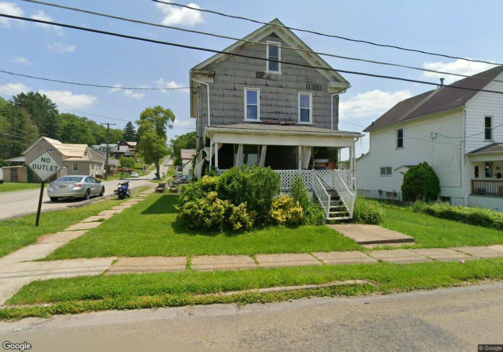
112 Orchard Ave Punxsutawney, PA 15767
Estimated Value: $68,000 - $140,000
--
Bed
--
Bath
672
Sq Ft
$155/Sq Ft
Est. Value
About This Home
This home is located at 112 Orchard Ave, Punxsutawney, PA 15767 and is currently estimated at $104,183, approximately $155 per square foot. 112 Orchard Ave is a home located in Jefferson County with nearby schools including Punxsutawney Area High School, Punxsutawney Christian School, and Sunset View Amish School.
Ownership History
Date
Name
Owned For
Owner Type
Purchase Details
Closed on
Sep 9, 2019
Sold by
Craft Louisa and Craft Harold
Bought by
Craft Louisa and Shepler Derrick
Current Estimated Value
Purchase Details
Closed on
Mar 10, 2006
Sold by
Sheriff Michele Q
Bought by
Craft Louisa
Home Financials for this Owner
Home Financials are based on the most recent Mortgage that was taken out on this home.
Original Mortgage
$59,033
Outstanding Balance
$33,560
Interest Rate
6.27%
Mortgage Type
FHA
Estimated Equity
$70,623
Create a Home Valuation Report for This Property
The Home Valuation Report is an in-depth analysis detailing your home's value as well as a comparison with similar homes in the area
Home Values in the Area
Average Home Value in this Area
Purchase History
| Date | Buyer | Sale Price | Title Company |
|---|---|---|---|
| Craft Louisa | -- | None Available | |
| Craft Louisa | $59,500 | None Available |
Source: Public Records
Mortgage History
| Date | Status | Borrower | Loan Amount |
|---|---|---|---|
| Open | Craft Louisa | $59,033 |
Source: Public Records
Tax History Compared to Growth
Tax History
| Year | Tax Paid | Tax Assessment Tax Assessment Total Assessment is a certain percentage of the fair market value that is determined by local assessors to be the total taxable value of land and additions on the property. | Land | Improvement |
|---|---|---|---|---|
| 2025 | $954 | $17,270 | $2,500 | $14,770 |
| 2024 | $938 | $17,270 | $2,500 | $14,770 |
| 2023 | $919 | $17,270 | $2,500 | $14,770 |
| 2022 | $922 | $17,270 | $2,500 | $14,770 |
| 2021 | $921 | $17,270 | $2,500 | $14,770 |
| 2020 | $923 | $17,270 | $2,500 | $14,770 |
| 2019 | $904 | $17,270 | $2,500 | $14,770 |
| 2018 | $890 | $17,270 | $2,500 | $14,770 |
| 2017 | $888 | $17,270 | $2,500 | $14,770 |
| 2016 | $882 | $17,270 | $2,500 | $14,770 |
| 2015 | -- | $17,270 | $2,500 | $14,770 |
| 2012 | -- | $17,270 | $2,500 | $14,770 |
Source: Public Records
Map
Nearby Homes
- 114 Ellsmore Ave
- 231 Lane Ave
- 409 Greenwood Ave
- 313 Greenwood Ave
- 112 Lane Ave
- 399 Harmony Rd
- 116 Clark St
- 501 E Mahoning St
- 125 Hall St
- 321 E Union St
- 576 Clawson St
- 501 Woodland Ave
- 5 Starlite Ln
- 402 S Penn St
- 512 Woodland Ave
- 600 Rockland Ave
- 103 Cypress St
- 113 Church St
- 17927 Pennsylvania 36
- 478 Albion Rd
- 110 Orchard Ave
- 200 Orchard Ave
- 108 Orchard Ave
- 105 Pleasant Ave
- 204 Orchard Ave
- 100 Pleasant Ave
- 107 Pleasant Ave
- 102 Pleasant Ave
- 408 Ridge Ave
- 501 Graffius Ave
- 503 Graffius Ave
- 310 Ridge Ave
- 436 Graffius Ave
- 500 Graffius Ave
- 410 Ridge Ave
- 438 Graffius Ave
- 412 Ridge Ave
- 405 Ridge Ave
- 104 Pleasant Ave
- 423 Graffius Ave