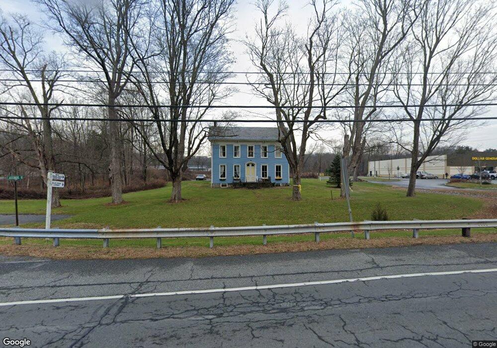
112 State Route 94 Blairstown, NJ 07825
Estimated Value: $326,000 - $441,299
--
Bed
--
Bath
2,480
Sq Ft
$158/Sq Ft
Est. Value
About This Home
This home is located at 112 State Route 94, Blairstown, NJ 07825 and is currently estimated at $392,575, approximately $158 per square foot. 112 State Route 94 is a home located in Warren County with nearby schools including Blairstown Elementary School, North Warren Regional School, and Ridge & Valley Charter School.
Ownership History
Date
Name
Owned For
Owner Type
Purchase Details
Closed on
May 3, 2018
Sold by
Grater Llc
Bought by
H L Land Holdings Llc
Current Estimated Value
Home Financials for this Owner
Home Financials are based on the most recent Mortgage that was taken out on this home.
Original Mortgage
$100,000
Interest Rate
4.5%
Mortgage Type
Commercial
Purchase Details
Closed on
Oct 15, 2009
Sold by
Grater Llc
Bought by
Grater Llc
Purchase Details
Closed on
Jan 29, 2008
Sold by
Kostenbader Margaret
Bought by
Grater Llc
Home Financials for this Owner
Home Financials are based on the most recent Mortgage that was taken out on this home.
Original Mortgage
$200,000
Interest Rate
6.18%
Mortgage Type
Purchase Money Mortgage
Purchase Details
Closed on
Aug 14, 2002
Sold by
Kostenbader Margaret
Bought by
The Township Of Blairstown
Create a Home Valuation Report for This Property
The Home Valuation Report is an in-depth analysis detailing your home's value as well as a comparison with similar homes in the area
Home Values in the Area
Average Home Value in this Area
Purchase History
| Date | Buyer | Sale Price | Title Company |
|---|---|---|---|
| H L Land Holdings Llc | $150,000 | Multiple | |
| Grater Llc | -- | None Available | |
| Grater Llc | -- | None Available | |
| Grater Llc | $415,000 | None Available | |
| The Township Of Blairstown | $275,000 | -- |
Source: Public Records
Mortgage History
| Date | Status | Borrower | Loan Amount |
|---|---|---|---|
| Previous Owner | H L Land Holdings Llc | $100,000 | |
| Previous Owner | Grater Llc | $200,000 |
Source: Public Records
Tax History Compared to Growth
Tax History
| Year | Tax Paid | Tax Assessment Tax Assessment Total Assessment is a certain percentage of the fair market value that is determined by local assessors to be the total taxable value of land and additions on the property. | Land | Improvement |
|---|---|---|---|---|
| 2025 | $4,962 | $160,000 | $129,300 | $30,700 |
| 2024 | $4,611 | $160,000 | $129,300 | $30,700 |
| 2023 | $4,517 | $160,000 | $129,300 | $30,700 |
| 2022 | $4,517 | $160,000 | $129,300 | $30,700 |
| 2021 | $3,866 | $160,000 | $129,300 | $30,700 |
| 2020 | $3,955 | $160,000 | $129,300 | $30,700 |
| 2019 | $3,680 | $160,000 | $129,300 | $30,700 |
| 2018 | $3,680 | $160,000 | $129,300 | $30,700 |
| 2017 | $3,693 | $160,000 | $129,300 | $30,700 |
| 2016 | $3,706 | $160,000 | $129,300 | $30,700 |
| 2015 | $3,642 | $160,000 | $129,300 | $30,700 |
| 2014 | $3,571 | $160,000 | $129,300 | $30,700 |
Source: Public Records
Map
Nearby Homes
- 17 Bear Cave Rd
- 14 Cedarville Rd
- 6 Main St
- 1 Four Corners Rd
- 32 High St
- 163 New Jersey 94
- 5 Bingham Ln
- 17 High St
- 16 Stillwater Rd
- 80 Mohican Rd
- 12 Jones Ln
- 85 Mohican Rd
- 89 Millbrook Rd
- 34 Stony Brook Rd
- 39 Stillwater Rd
- 18 New Jersey 94
- 76 Hope Rd
- 0 Mount Vernon Rd
- 0 Cedar Lake Rd Unit 3936605
- 42 Gaisler Rd
- 114 State Route 94
- 114 State Route 94
- 110 State Route 94 Unit 1
- 115 Route94
- 115 New Jersey 94
- 115 State Route 94
- 7 Jacksonburg Rd
- 103 State Route 94
- 9 Jacksonburg Rd
- 124 New Jersey 94 Unit A
- 98 New Jersey 94
- 98 New Jersey 94 Unit 9999
- 104 New Jersey 94
- 104 New Jersey 94 Unit 104
- 101 94 Route
- 101 94 Route Unit 101
- 126 State Route 94
- 124A New Jersey 94
- 101 New Jersey 94
- 13 Jacksonburg Rd